MyTopo
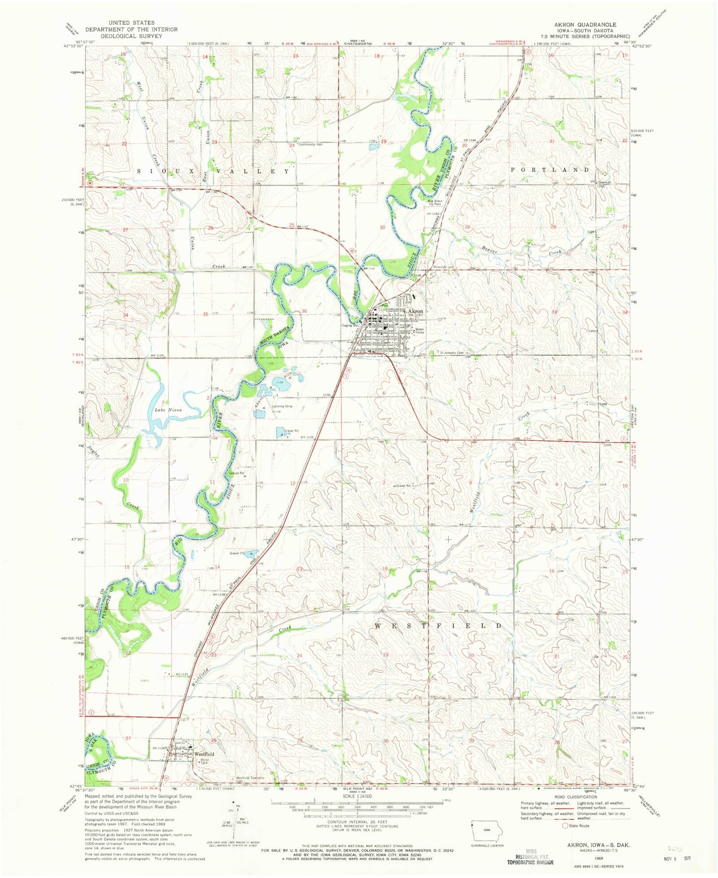
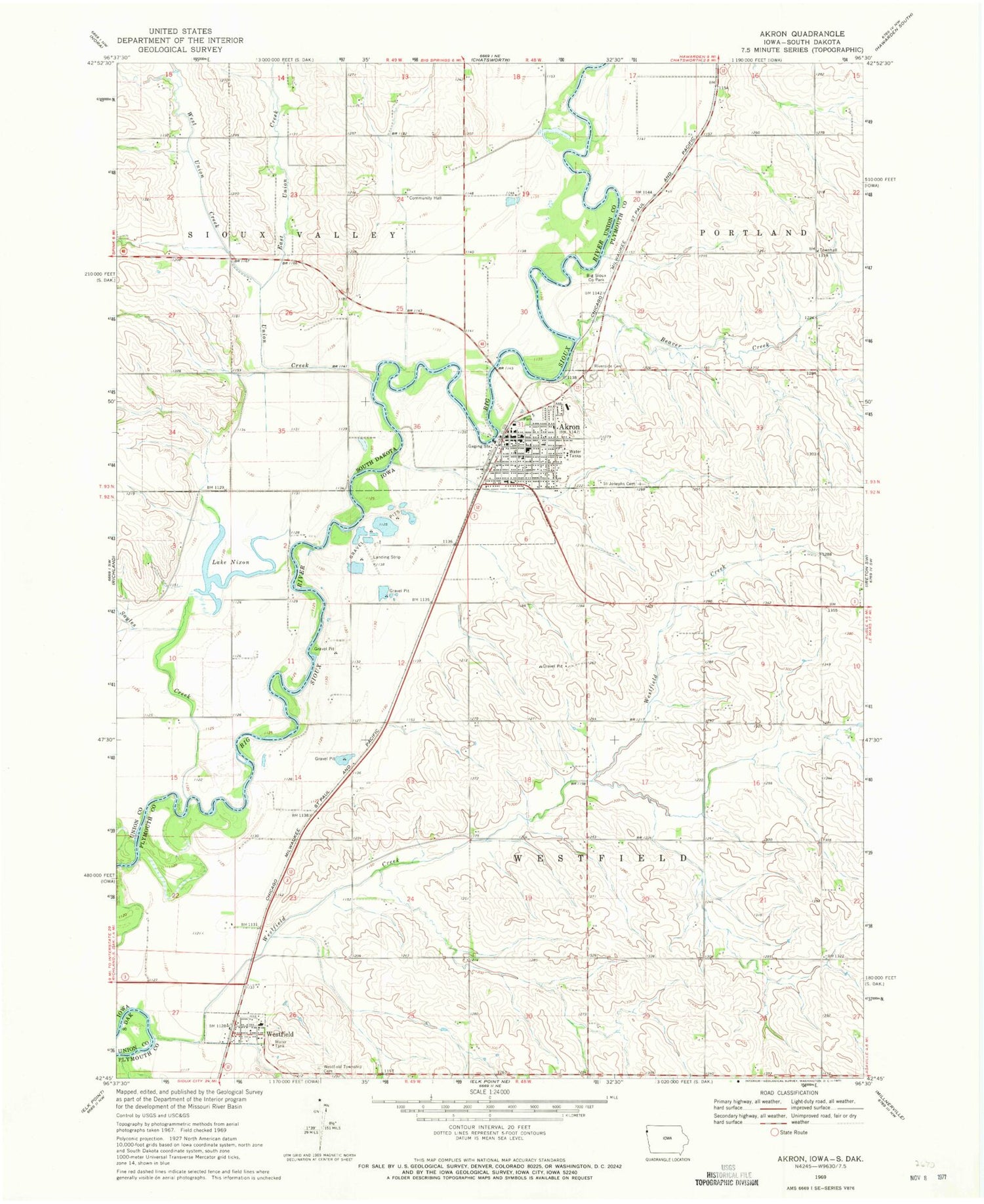
Classic USGS Akron Iowa 7.5'x7.5' Topo Map
Couldn't load pickup availability
Historical USGS topographic quad map of Akron in the states of Iowa, South Dakota. Map scale may vary for some years, but is generally around 1:24,000. Print size is approximately 24" x 27"
This quadrangle is in the following counties: Plymouth, Union.
The map contains contour lines, roads, rivers, towns, and lakes. Printed on high-quality waterproof paper with UV fade-resistant inks, and shipped rolled.
Contains the following named places: Akron, Akron - Westfield Elementary School, Akron - Westfield High School and Middle School, Akron - Westfield Middle School, Akron Chiropractic Center, Akron City Convalescent Care, Akron Country Club, Akron Dental Clinic, Akron Emergency Medical Services Department, Akron Family Practice Clinic, Akron Municipal Airport, Akron Post Office, Akron Public Library, Akron Volunteer Fire Department, Beaver Creek, Beeck Family Chiropractic Clinic, Big Sioux County Park, City of Akron, City of Westfield, East Union Creek, Farmers Co-operative Elevator, First Baptist Church, First Church of Christ, Immanuel Lutheran Church, Lake Nixon, Riverside Cemetery, Saint Patricks Catholic Church, Saint Patricks Cemetery, Sayles Creek, Silver Maple County Park, Siouxland Paramedics Westfield Station, Township of Portland, Township of Sioux Valley, Township of Westfield, Trinity Lutheran Church, Union Creek, Wesley United Methodist Church, West Union Creek, Westfield, Westfield Congregational Church, Westfield Creek, Westfield Post Office, Westfield Township Cemetery, ZIP Code: 51001