MyTopo
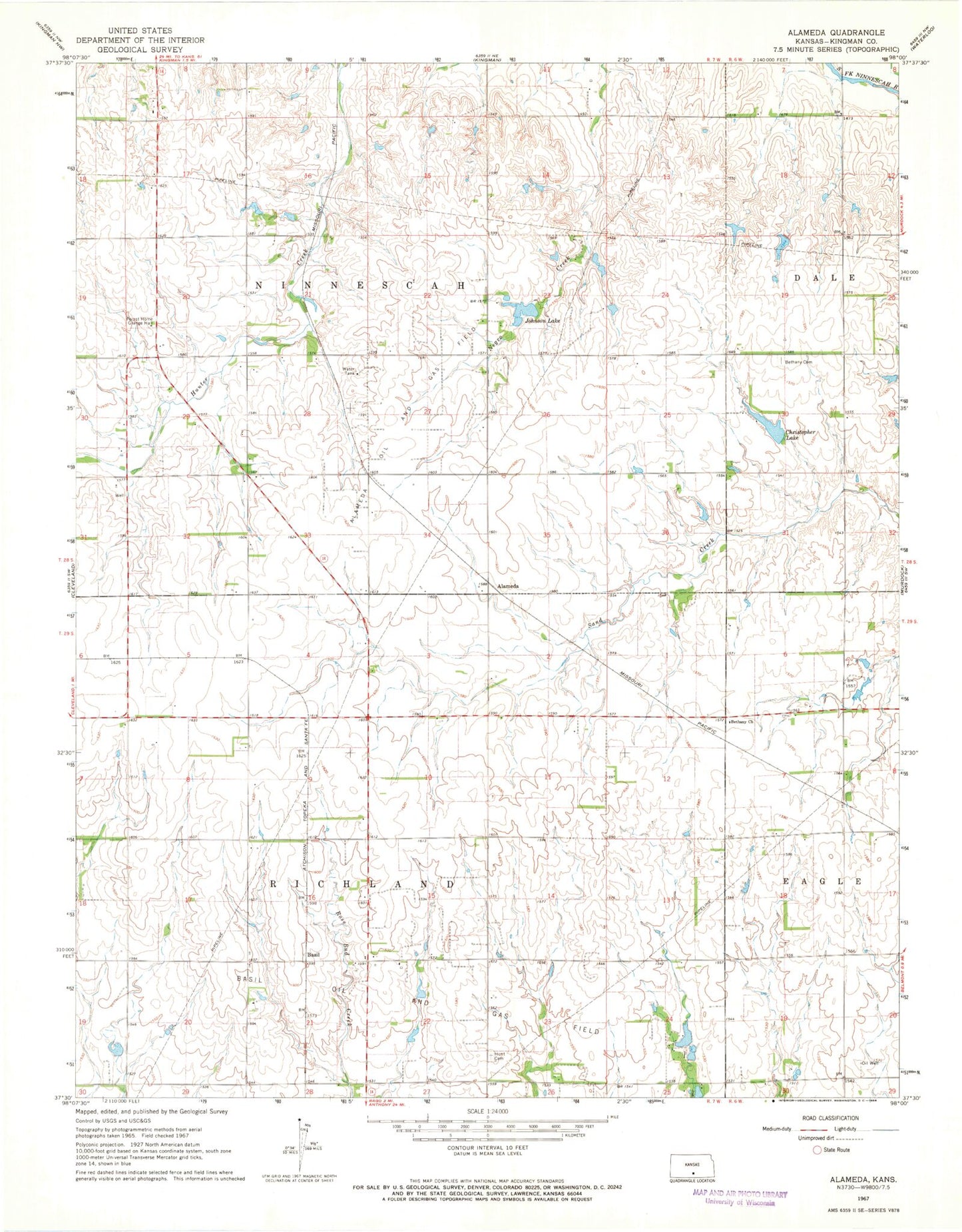
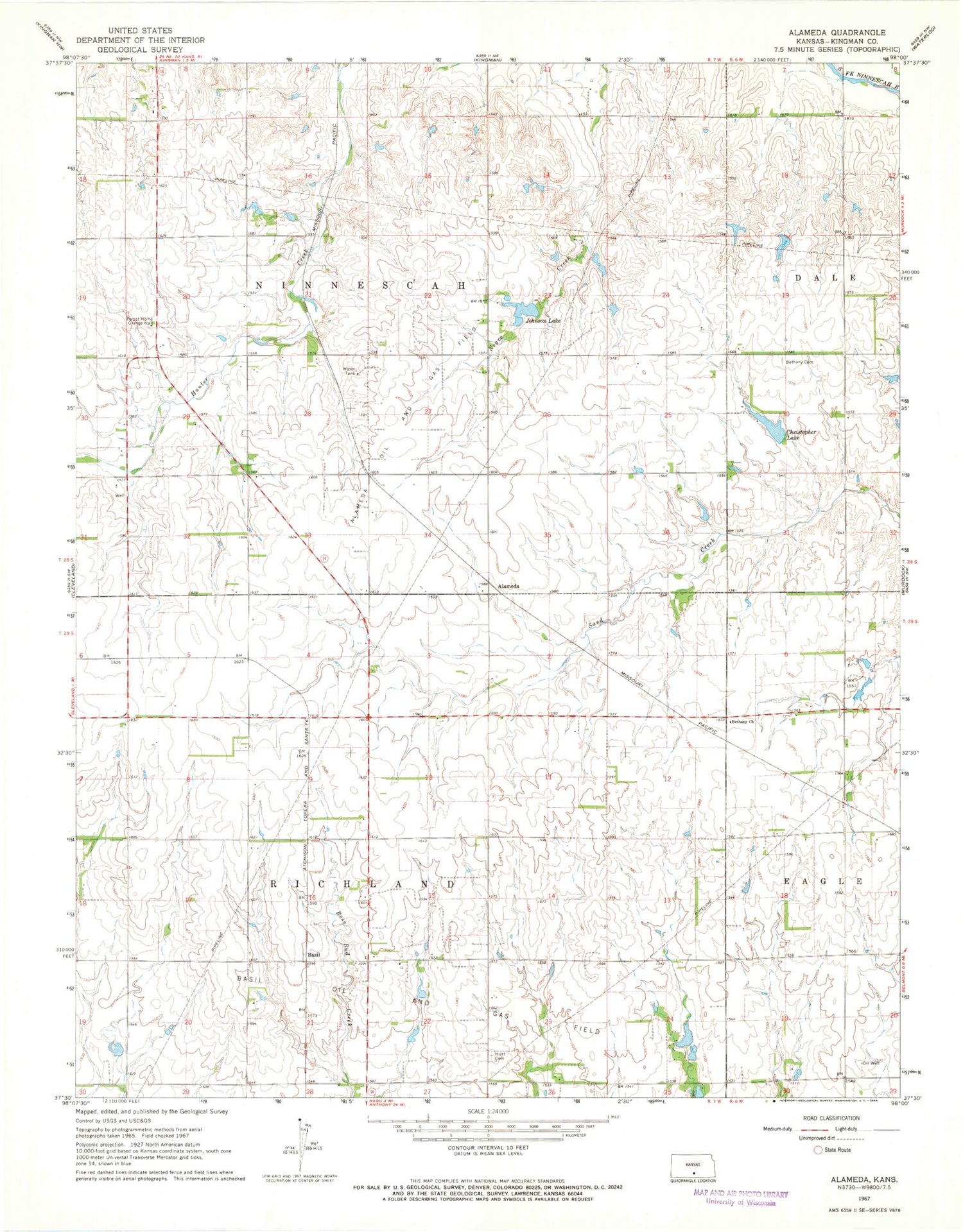
Classic USGS Alameda Kansas 7.5'x7.5' Topo Map
Couldn't load pickup availability
Historical USGS topographic quad map of Alameda in the state of Kansas. Map scale may vary for some years, but is generally around 1:24,000. Print size is approximately 24" x 27"
This quadrangle is in the following counties: Kingman.
The map contains contour lines, roads, rivers, towns, and lakes. Printed on high-quality waterproof paper with UV fade-resistant inks, and shipped rolled.
Contains the following named places: Alameda, Alameda Oil and Gas Field, Basil, Basil Oil and Gas Field, Bethany Church, Bethany Mennonite Cemetery, Christopher Lake, Clearwater School, Coleman School, Forest Home Grange Hall, Hawk School, Hunt Cemetery, Johnson Lake, Kingman Mennonite Church, Mann Lake, Rosedale School, Township of Richland, Trenton School, Walnut Grove School, ZIP Code: 67068