
MyTopo
Classic USGS Albaton Iowa 7.5'x7.5' Topo Map
Couldn't load pickup availability
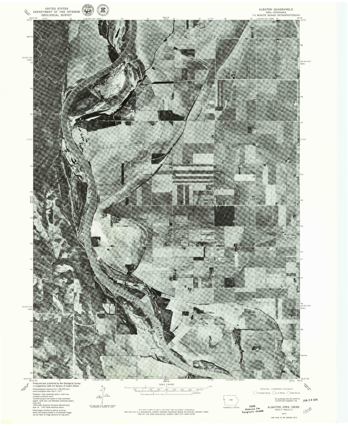
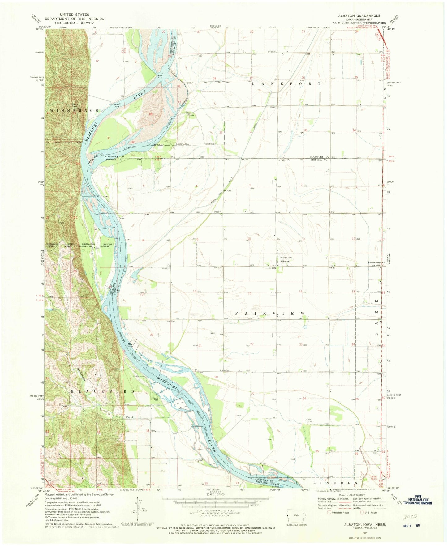
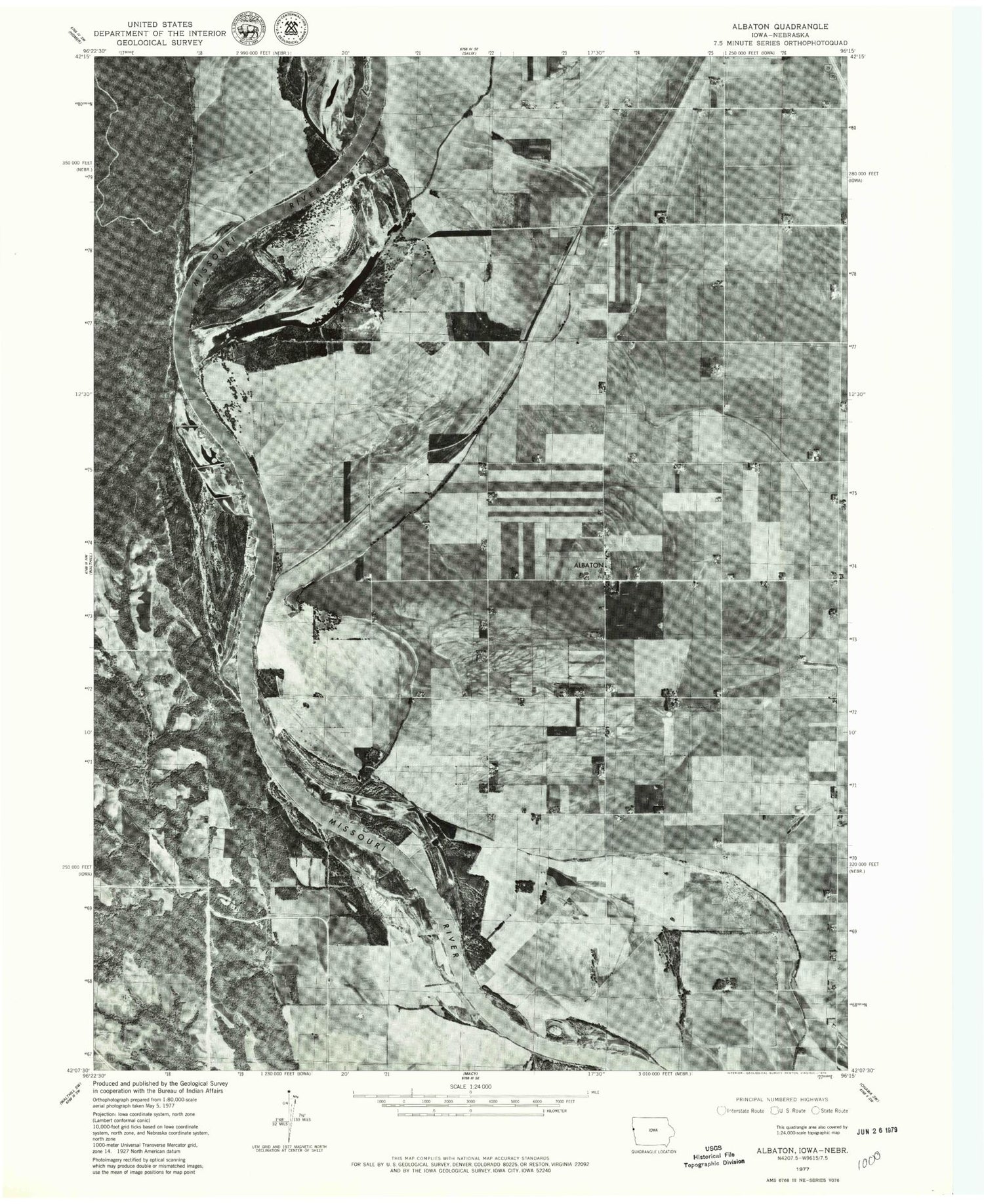
Historical USGS topographic quad map of Albaton in the states of Iowa, Nebraska. Map scale may vary for some years, but is generally around 1:24,000. Print size is approximately 24" x 27"
This quadrangle is in the following counties: Monona, Thurston, Woodbury.
The map contains contour lines, roads, rivers, towns, and lakes. Printed on high-quality waterproof paper with UV fade-resistant inks, and shipped rolled.
Contains the following named places: Albaton, Albaton Post Office, Fairview Cemetery, Horsehead Creek, Lossing, Mission Covenant Church, Omaha Mission Bend Wildlife Area, Sand Hill Lake Ditch, Skunk Lake, Township of Blackbird, Township of Fairview, Upper Monona Bend Wildlife Area, Upper Omaha Mission Bend, Winnebago Bend, ZIP Code: 51055