MyTopo
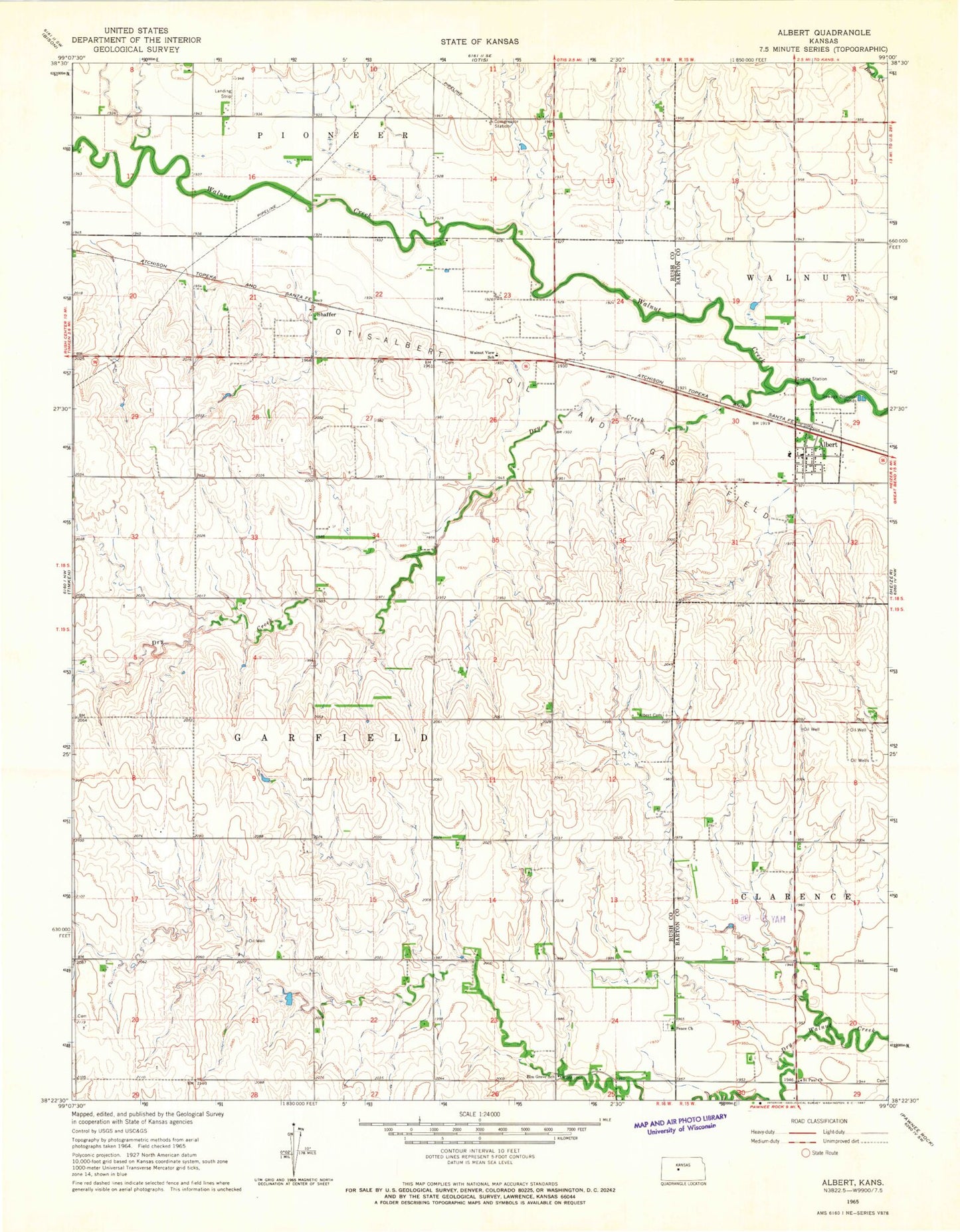
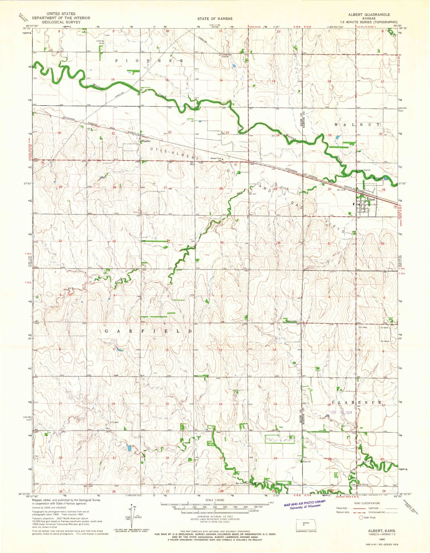
Classic USGS Albert Kansas 7.5'x7.5' Topo Map
Couldn't load pickup availability
Historical USGS topographic quad map of Albert in the state of Kansas. Map scale may vary for some years, but is generally around 1:24,000. Print size is approximately 24" x 27"
This quadrangle is in the following counties: Barton, Rush.
The map contains contour lines, roads, rivers, towns, and lakes. Printed on high-quality waterproof paper with UV fade-resistant inks, and shipped rolled.
Contains the following named places: Albert, Albert Cemetery, Albert Post Office, Albert Volunteer Fire Department, Albert Wastewater Plant, Belfield, City of Albert, Dry Creek, Elm Grove School, Great Bend Co - Operative Association Grain Elevator Number 2, Otis-Albert Oil and Gas Field, Otis-Bison Primary School, Peace Lutheran Church, Saint Paul Church, Saint Pauls Lutheran Cemetery, Schaffer, Township of Garfield, Walnut View School, ZIP Code: 67511