
MyTopo
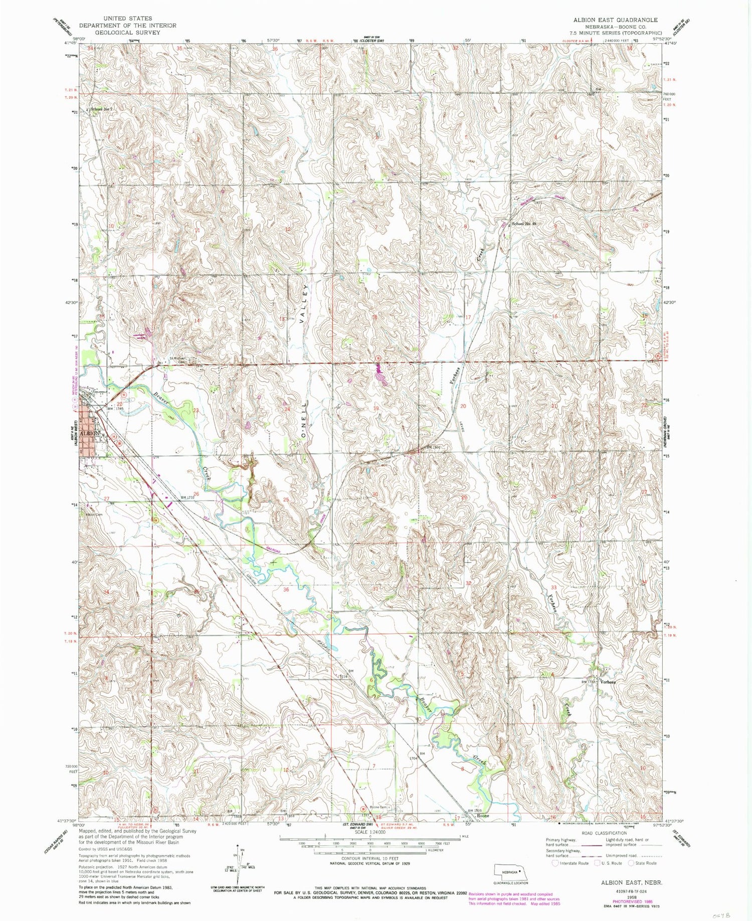
Classic USGS Albion East Nebraska 7.5'x7.5' Topo Map
Couldn't load pickup availability
Historical USGS topographic quad map of Albion East in the state of Nebraska. Map scale may vary for some years, but is generally around 1:24,000. Print size is approximately 24" x 27"
This quadrangle is in the following counties: Boone.
The map contains contour lines, roads, rivers, towns, and lakes. Printed on high-quality waterproof paper with UV fade-resistant inks, and shipped rolled.
Contains the following named places: Albion Public Library, Albion Volunteer Fire Department, Ben Bowman Kiwanis Roadside Park, Ben Bowman Kiwanis Roadside Park Campground, Boone, Boone Cemetery, Boone Post Office, Choat Dam, Choat Reservoir, City of Albion, New Life Assembly of God Church, O'Neil Valley, Saint Michael Cemetery, School Number 23, School Number 49, School Number 7, School Number 74, Southeast Manchester Election Precinct, Vorhees


