MyTopo
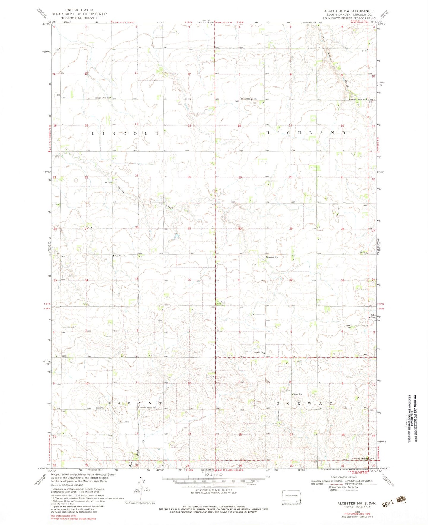
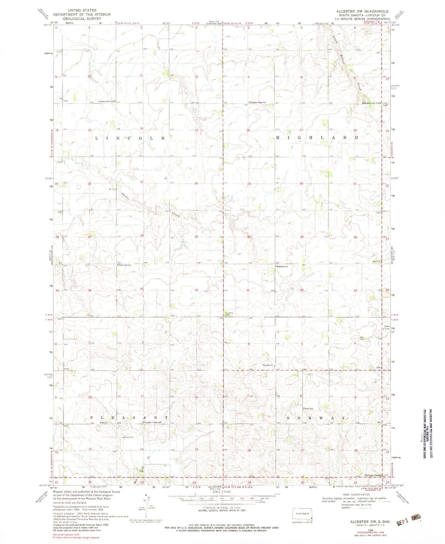
Classic USGS Alcester NW South Dakota 7.5'x7.5' Topo Map
Couldn't load pickup availability
Historical USGS topographic quad map of Alcester NW in the state of South Dakota. Map scale may vary for some years, but is generally around 1:24,000. Print size is approximately 24" x 27"
This quadrangle is in the following counties: Lincoln.
The map contains contour lines, roads, rivers, towns, and lakes. Printed on high-quality waterproof paper with UV fade-resistant inks, and shipped rolled.
Contains the following named places: Cottage Grove School, Highland Center School, Highland School, Norway Center, Nurey, Plain View School, Pleasant Ridge School, Pleasant Valley School, Romsdal Cemetery, Romsdal Church, Saddle Creek, Silver Lake, Sundy School, Township of Highland, Township of Lincoln, Township of Norway, Township of Pleasant, Tuntland Cemetery, Zion Church