MyTopo
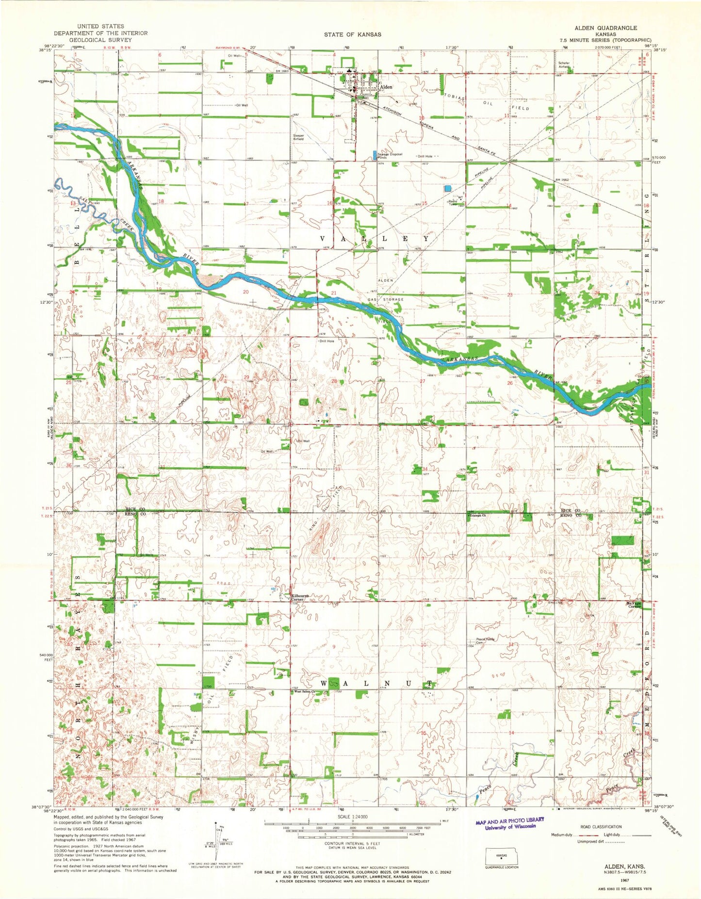
Classic USGS Alden Kansas 7.5'x7.5' Topo Map
Couldn't load pickup availability
Historical USGS topographic quad map of Alden in the state of Kansas. Map scale may vary for some years, but is generally around 1:24,000. Print size is approximately 24" x 27"
This quadrangle is in the following counties: Reno, Rice.
The map contains contour lines, roads, rivers, towns, and lakes. Printed on high-quality waterproof paper with UV fade-resistant inks, and shipped rolled.
Contains the following named places: Alden, Alden Elementary School, Alden Fire Department, Alden Gas Storage Field, Alden Post Office, Alden Wastewater Plant, Avery, City of Alden, Fritzpatrick Gas Field, Kilbourns Corner, McVays Corner, Peace Valley Cemetery, Rino Oil Field, Sleeper Airfield, Sterling Country Club, Township of Valley, Township of Walnut, Triumph Church, West Salem Church, Wisby Oil Field, ZIP Code: 67512