MyTopo
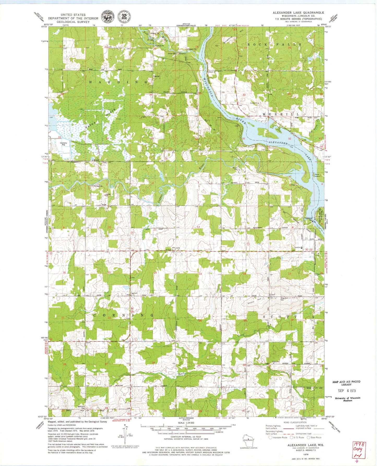
Classic USGS Alexander Lake Wisconsin 7.5'x7.5' Topo Map
Couldn't load pickup availability
Historical USGS topographic quad map of Alexander Lake in the state of Wisconsin. Map scale may vary for some years, but is generally around 1:24,000. Print size is approximately 24" x 27"
This quadrangle is in the following counties: Lincoln.
The map contains contour lines, roads, rivers, towns, and lakes. Printed on high-quality waterproof paper with UV fade-resistant inks, and shipped rolled.
Contains the following named places: Alexander Dam, Alexander Lake, Alexander WP200 Dam, Bagga Marsh, Copper River, Copper School, Corning School, Corning Townhall, Corning Volunteer Fire Department, Elm Grove School, Farming Dale School, Garrison Creek, Grace Church, Harding Townhall, Joe Snow Creek, Methodist Cemetery, New Wood River, Ninemile Hill, Pine Grove School, Prairie View School, Rock Island, Saint Pauls Church, Scott Elementary School, Snow Hill, Snow Hill Cemetery, Snow Hill School, ZIP Code: 54452