MyTopo
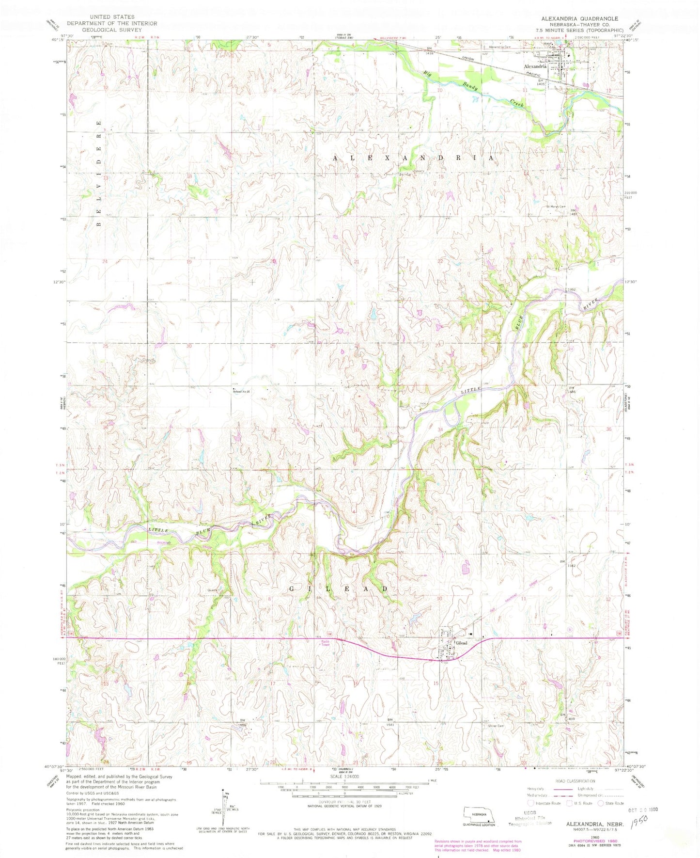
Classic USGS Alexandria Nebraska 7.5'x7.5' Topo Map
Couldn't load pickup availability
Historical USGS topographic quad map of Alexandria in the state of Nebraska. Map scale may vary for some years, but is generally around 1:24,000. Print size is approximately 24" x 27"
This quadrangle is in the following counties: Thayer.
The map contains contour lines, roads, rivers, towns, and lakes. Printed on high-quality waterproof paper with UV fade-resistant inks, and shipped rolled.
Contains the following named places: Alexandria, Alexandria Cemetery, Alexandria Election Precinct, Alexandria Post Office, Alexandria Public School, Alexandria Rescue Unit, Alexandria United Presbyterian Church, Alexandria Volunteer Fire Department, Bradshaw School, Bruning Grain and Feed Company Elevator, Fischer Dam, Fischer Reservoir, Flowery Dale School, Gilead, Gilead Election Precinct, Gilead Post Office - CPO, Gilead Public School, Gilead Volunteer Fire Department, Hergott Dam, Hergott Reservoir, Knape School, Meridian State Wildlife Management Area, Norder Agri-Grain Incorporated Elevator, Pleasant Mound School, Saint Mary Catholic Church, Saint Marys Cemetery, Sandy Knob School, Township of Alexandria, Township of Gilead, Tucker Memorial Library, Union Cemetery, Village of Alexandria, Village of Gilead, ZIP Code: 68362