MyTopo
Classic USGS Alsen South Dakota 7.5'x7.5' Topo Map
Couldn't load pickup availability
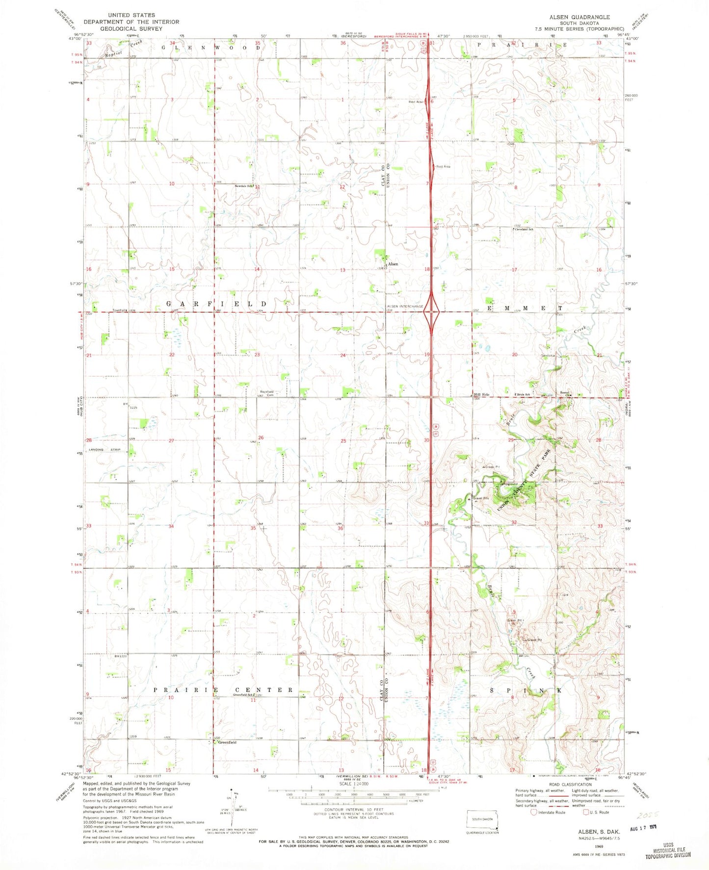
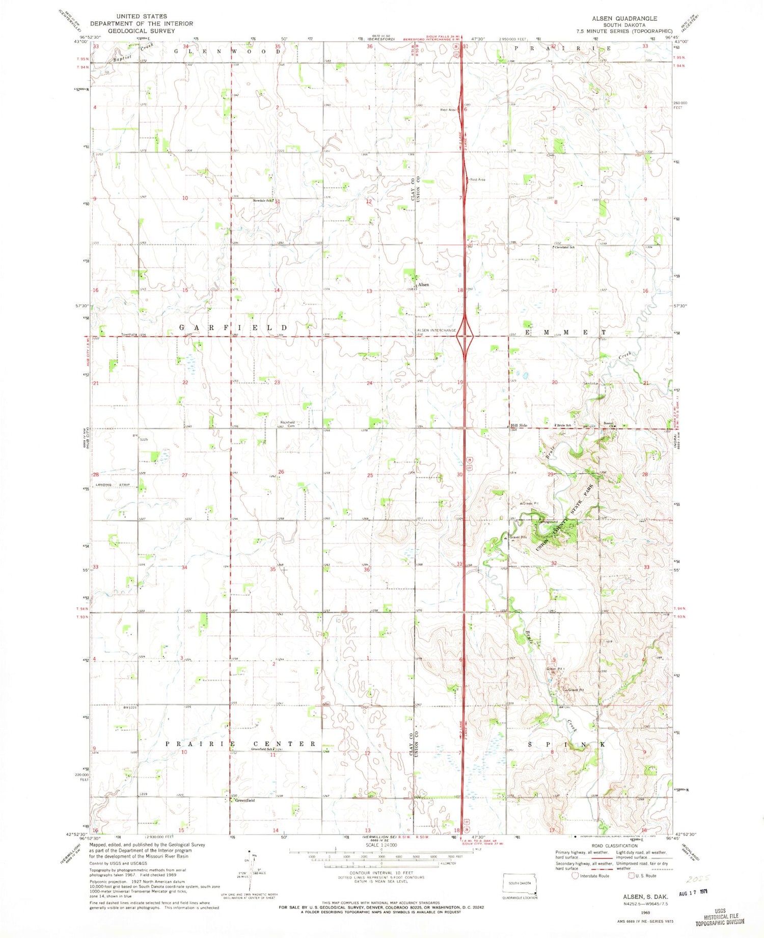
Historical USGS topographic quad map of Alsen in the state of South Dakota. Map scale may vary for some years, but is generally around 1:24,000. Print size is approximately 24" x 27"
This quadrangle is in the following counties: Clay, Union.
The map contains contour lines, roads, rivers, towns, and lakes. Printed on high-quality waterproof paper with UV fade-resistant inks, and shipped rolled.
Contains the following named places: Alsen, Brule School, Cleveland School, Greenfield, Greenfield School, Hill Side, Howard Field, Newdale School, Olbue Lerseth Cemetery, Rockfield Cemetery, Rosen Church, Roseni Lutheran Church Cemetery, Saint Paul Evangelical Lutheran Church, School Number 43, Steadman Cemetery, Township of Garfield, Union County State Park