MyTopo
Classic USGS Altona NE Nebraska 7.5'x7.5' Topo Map
Regular price
$16.95
Regular price
Sale price
$16.95
Unit price
per
Couldn't load pickup availability
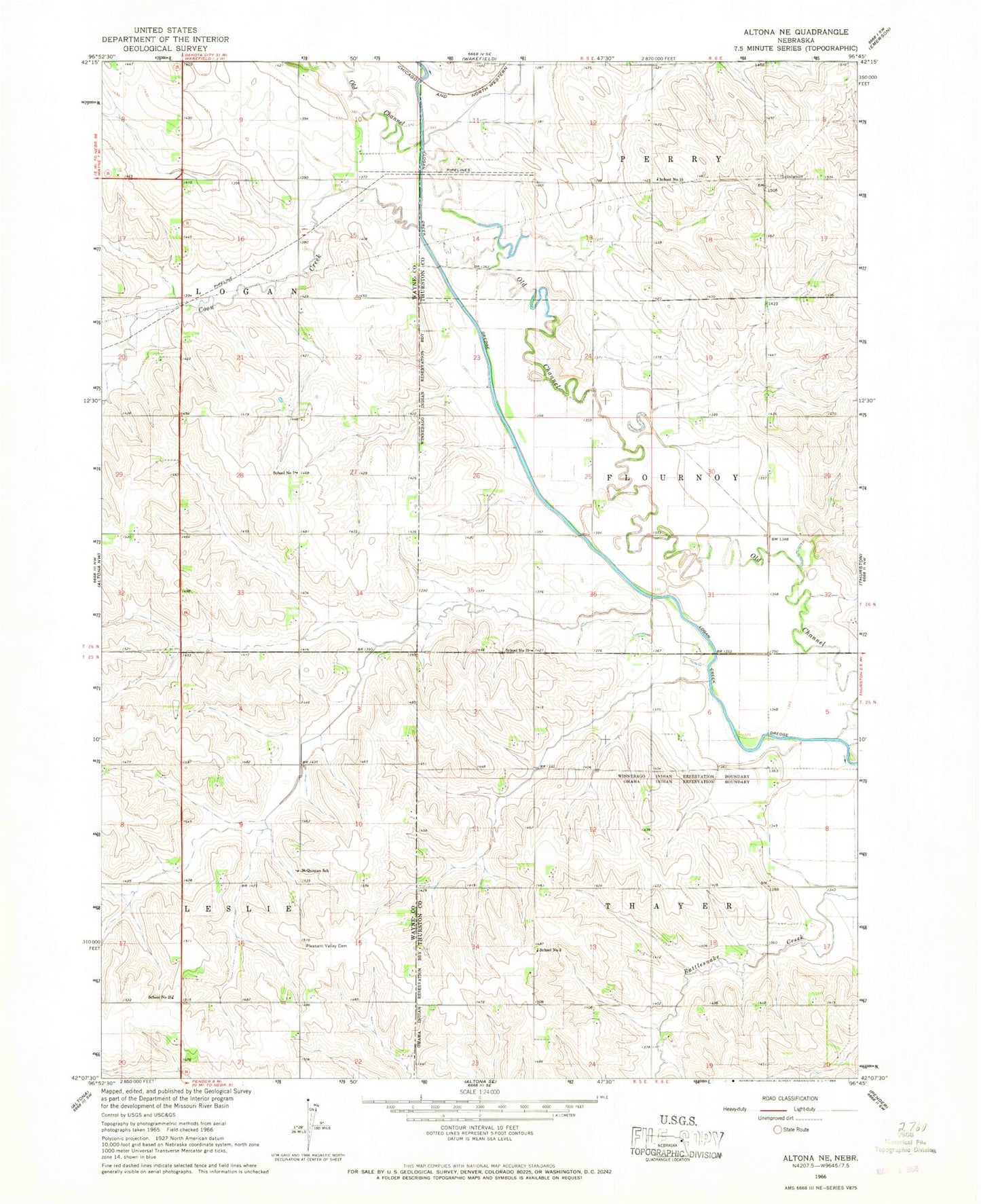
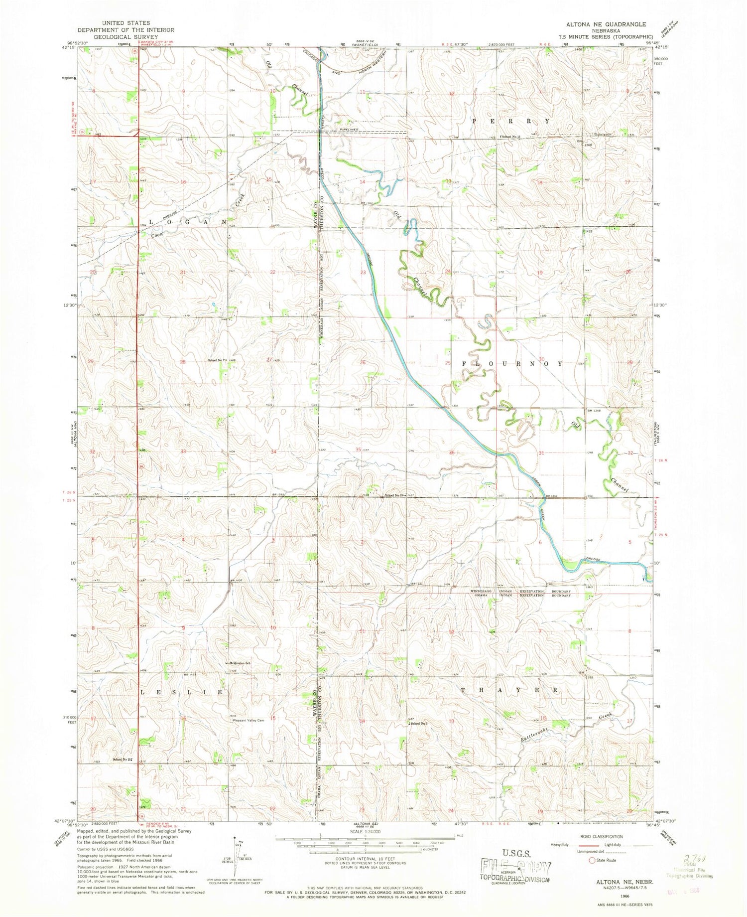
Historical USGS topographic quad map of Altona NE in the state of Nebraska. Map scale may vary for some years, but is generally around 1:24,000. Print size is approximately 24" x 27"
This quadrangle is in the following counties: Thurston, Wayne.
The map contains contour lines, roads, rivers, towns, and lakes. Printed on high-quality waterproof paper with UV fade-resistant inks, and shipped rolled.
Contains the following named places: Bruns Feedlot, Coon Creek, Leslie Election Precinct, Logan Election Precinct, McQuistan School, Pleasant Valley Cemetery, School Number 1, School Number 15, School Number 19, School Number 25, School Number 3, Township of Leslie, Township of Logan, Township of Thayer