
MyTopo
Classic USGS Alvin South Carolina 7.5'x7.5' Topo Map
Couldn't load pickup availability
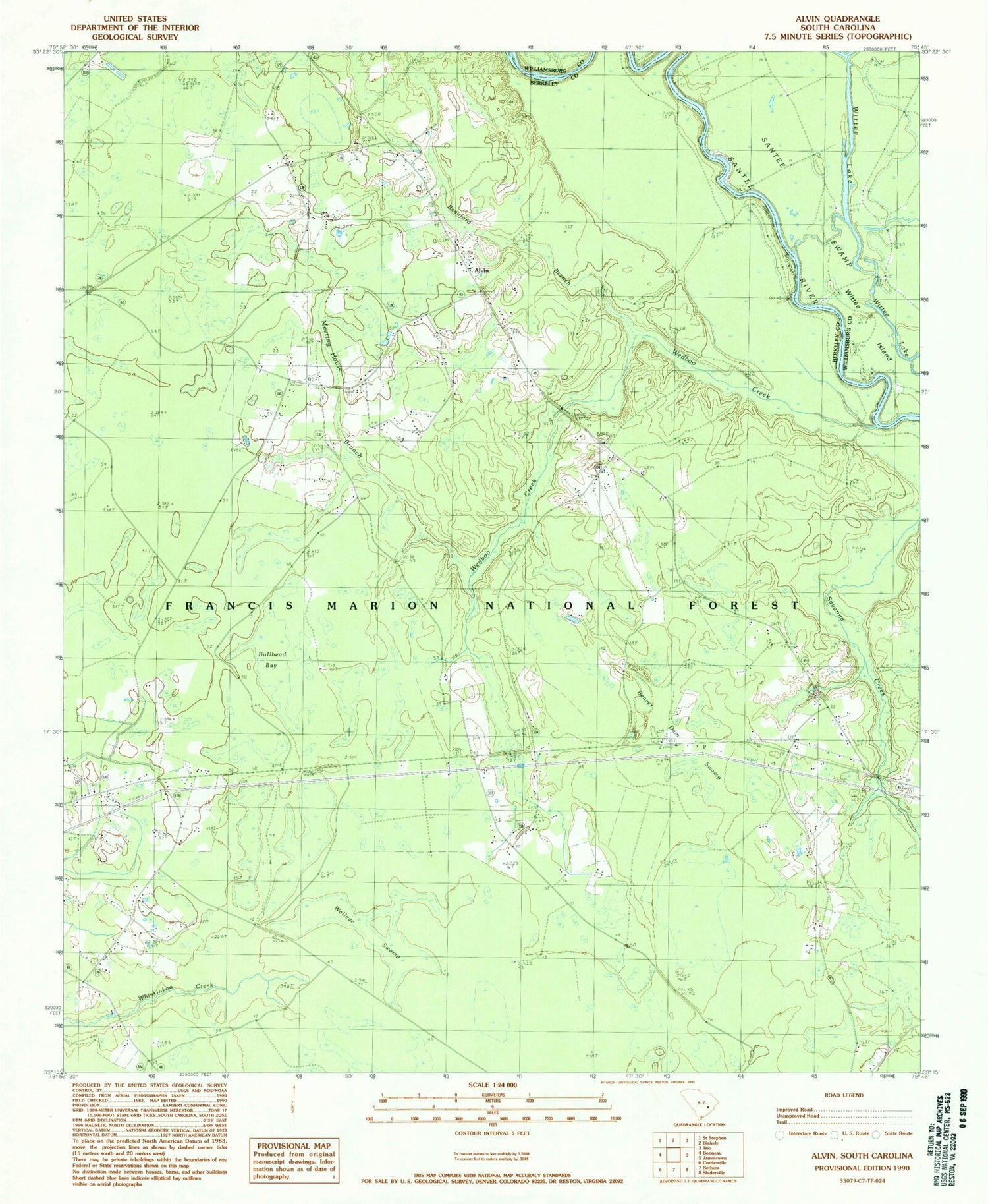
Historical USGS topographic quad map of Alvin in the state of South Carolina. Map scale may vary for some years, but is generally around 1:24,000. Print size is approximately 24" x 27"
This quadrangle is in the following counties: Berkeley, Williamsburg.
The map contains contour lines, roads, rivers, towns, and lakes. Printed on high-quality waterproof paper with UV fade-resistant inks, and shipped rolled.
Contains the following named places: Alvin, Alvin Fire Department, Beauford Branch, Beaver Dam Swamp, Bethlehem Church, Bullhead Bay, Calestown, Calestown Church, Edens Cemetery, Emmanuel Church, Gravel Hill Lookout Tower, Hickory Grove, Holly Hill Church, Hoods Chapel Cemetery, Hoods Chapel Methodist Church, Hopes Chapel, Johnson Cemetery, Johnson Church, Laurel Hill School, Macedonia Cemetery, Macedonia Church, Meeting House Branch, Mount Calvary Cemetery, Mount Calvary Holiness Church, New Emanuel School, New Emmanuel Church, Rogers Bridge, Santee Church, Savanna Creek, Sugar Loaf Plantation, Taylor Cemetery, Von Hollen Cemetery, Wallace Swamp, Wedboo Bay, Wedboo Bridge, Wedboo Creek


