MyTopo
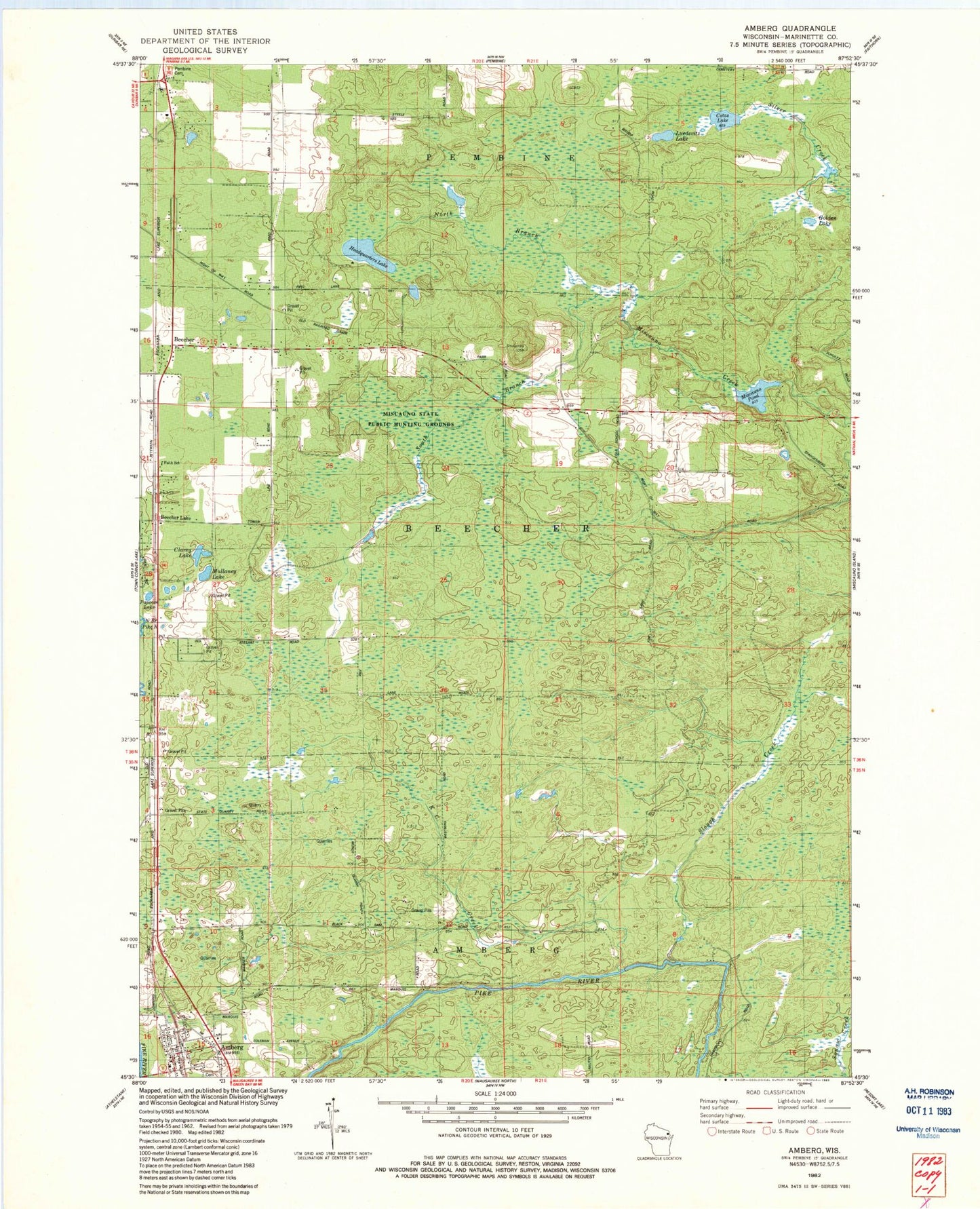
Classic USGS Amberg Wisconsin 7.5'x7.5' Topo Map
Couldn't load pickup availability
Historical USGS topographic quad map of Amberg in the state of Wisconsin. Typical map scale is 1:24,000, but may vary for certain years, if available. Print size: 24" x 27"
This quadrangle is in the following counties: Marinette.
The map contains contour lines, roads, rivers, towns, and lakes. Printed on high-quality waterproof paper with UV fade-resistant inks, and shipped rolled.
Contains the following named places: Amberg, Amberg Cemetery, Beecher, Beecher Creek, Clarey Lake, Coles School, Cotas Lake, Golden Lake, Headquarters Lake, K C Creek, Luedevitz Lake, Miscauno Pond, Mullaney Lake, North Branch Miscauno Creek, Papoose Lake, Slough Creek, South Branch Miscauno Creek, Beecher Lake, Town of Beecher, Miscauno Pond Dam, Faith School, Miscauno State Public Hunting Grounds, Dixon School (historical), Munot Quarry, Pike Hill Spur (historical), Reformatory Quarry, Miscauno Cedar Swamp State Natural Area, Amberg Census Designated Place, Dunbar - Pembine - Beecher Fire Department, Amberg Volunteer Fire Department, Pembine - Dunbar - Beecher Rescue Squad, Amberg Post Office