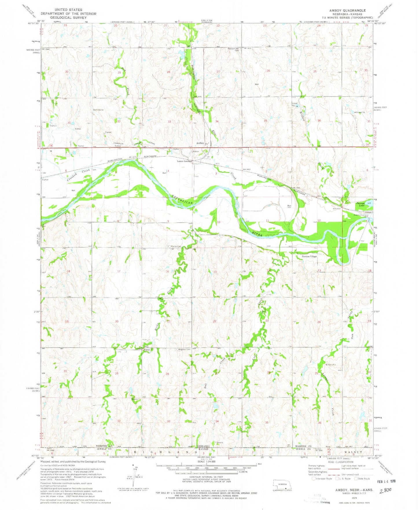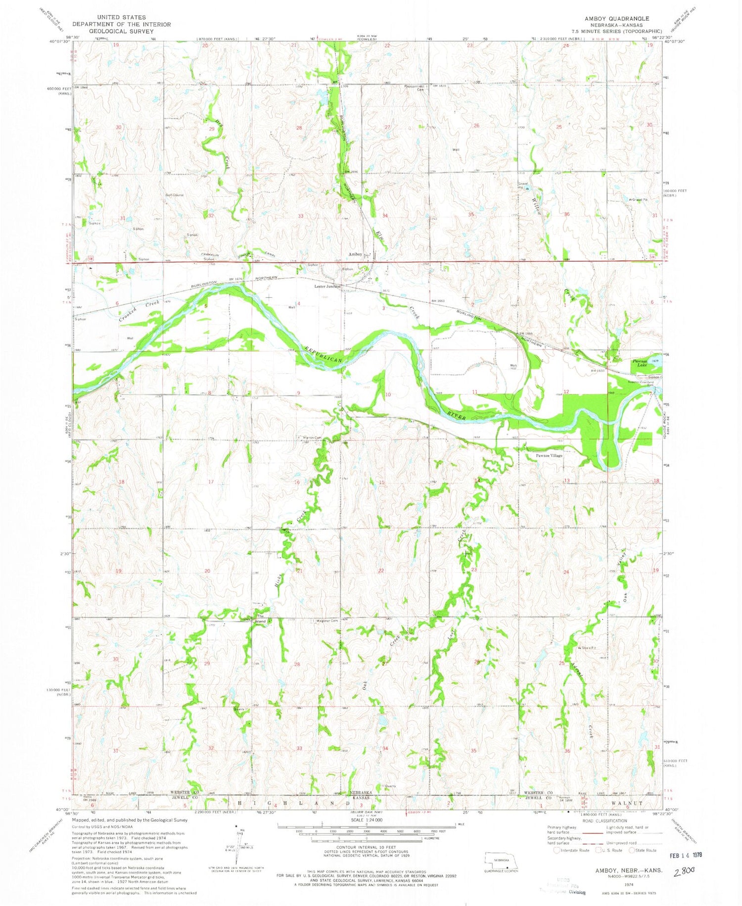
MyTopo
Classic USGS Amboy Nebraska 7.5'x7.5' Topo Map
Couldn't load pickup availability
Historical USGS topographic quad map of Amboy in the state of Nebraska. Map scale may vary for some years, but is generally around 1:24,000. Print size is approximately 24" x 27"
This quadrangle is in the following counties: Jewell, Webster.
The map contains contour lines, roads, rivers, towns, and lakes. Printed on high-quality waterproof paper with UV fade-resistant inks, and shipped rolled.
Contains the following named places: Advent Creek, Amboy, Amboy Post Office, Benjamin Wagoner Memorial Cemetery Historical Marker, Crooked Creek, Dry Creek, Elm Creek, Elm Creek State Wildlife Management Area, Guide Rock Election Precinct, Hicks Creek, Lester Junction, Lost Creek, Martin Cemetery, Oak Creek, Pawnee Village, Pleasant Hill Cemetery, Red Cloud Golf Club, Starke Round Barn, Superior-Courtland Dam, The Island, Wagoner Cemetery