
MyTopo
Classic USGS Amherst Wisconsin 7.5'x7.5' Topo Map
Couldn't load pickup availability
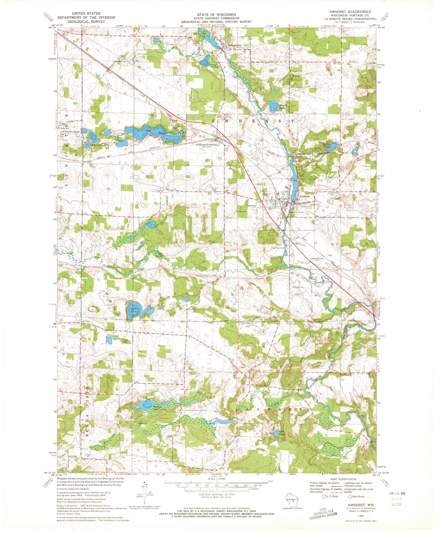
Historical USGS topographic quad map of Amherst in the state of Wisconsin. Map scale may vary for some years, but is generally around 1:24,000. Print size is approximately 24" x 27"
This quadrangle is in the following counties: Portage.
The map contains contour lines, roads, rivers, towns, and lakes. Printed on high-quality waterproof paper with UV fade-resistant inks, and shipped rolled.
Contains the following named places: 17 Reservoir, 54406, 54458, Amherst, Amherst Dam, Amherst Elementary School, Amherst Fire District, Amherst High School, Amherst Junction, Amherst Junction Post Office, Amherst Middle School, Amherst Millpond 90, Amherst Post Office, Bear Creek, Bickel Cemetery, Camp Mikquand, Ell Lake, Fancher School, Fountain Grove School, General Irwin School, Greenwood Cemetery, Kimball Cemetery, Lake Bingo, Lake Ell Field, Lake Emily, Lake Julia, Lake Lime, Lower Amherst Cemetery, Meyers Lake, Nelsonville, Nelsonville Dam, Nelsonville Pond, Nelsonville Post Office, Oak Grove Cemetery, Polley School, Saint Mary of Mount Carmel Cemetery, Spring Creek, Spring Creek 3 WR 878 Dam, Spring Lake, Tomorrow River, Town of Amherst, Turtle Lake, Valley View School, Village of Amherst, Village of Amherst Junction, Village of Nelsonville


