
MyTopo
Classic USGS Ana River Oregon 7.5'x7.5' Topo Map
Regular price
$16.95
Regular price
Sale price
$16.95
Unit price
per
Couldn't load pickup availability
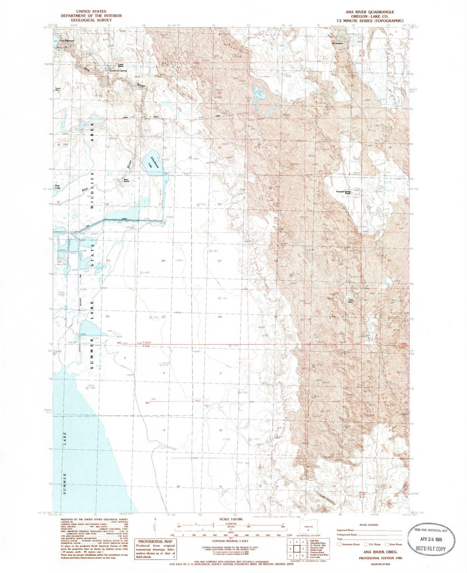
Historical USGS topographic quad map of Ana River in the state of Oregon. Map scale may vary for some years, but is generally around 1:24,000. Print size is approximately 24" x 27"
This quadrangle is in the following counties: Lake.
The map contains contour lines, roads, rivers, towns, and lakes. Printed on high-quality waterproof paper with UV fade-resistant inks, and shipped rolled.
Contains the following named places: Ana Reservoir Boat Ramp, Ana Reservoir County Park, Ana River Dam, Buckhorn Spring, Bullgate Dike, Carlon Ranch, Lost Cabin, River Ranch, Schoolhouse Lake, Summer Lake Migratory Waterfowl and Game Management Area, The Rosebud, Thousand Springs Ranch


