MyTopo
Classic USGS Anderson Mountain Oregon 7.5'x7.5' Topo Map
Regular price
$16.95
Regular price
Sale price
$16.95
Unit price
per
Couldn't load pickup availability
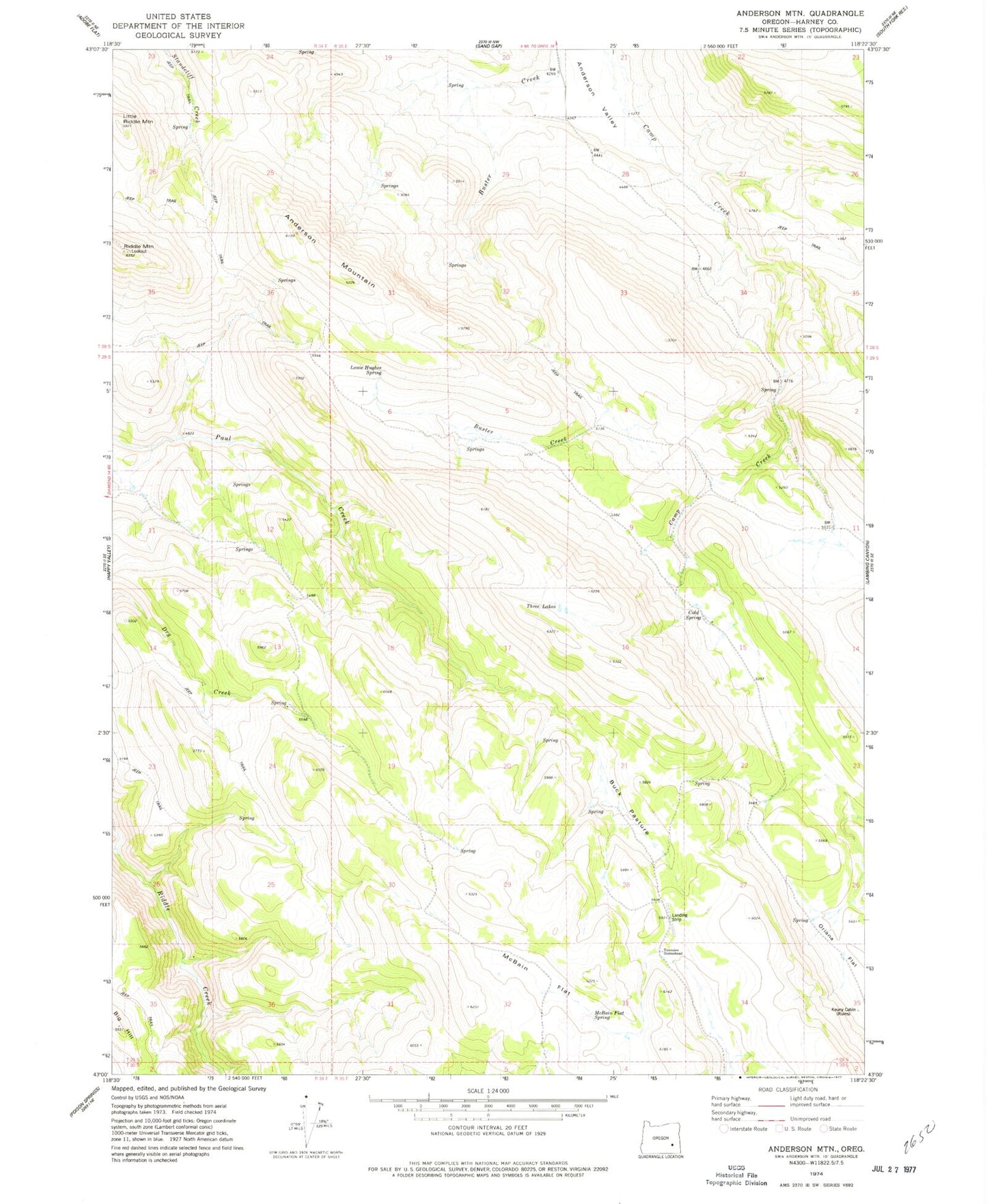
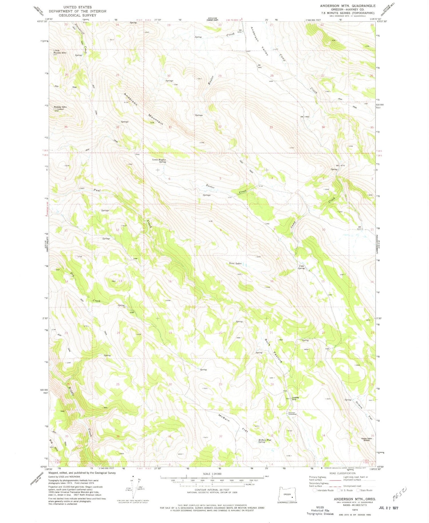
Historical USGS topographic quad map of Anderson Mountain in the state of Oregon. Map scale may vary for some years, but is generally around 1:24,000. Print size is approximately 24" x 27"
This quadrangle is in the following counties: Harney.
The map contains contour lines, roads, rivers, towns, and lakes. Printed on high-quality waterproof paper with UV fade-resistant inks, and shipped rolled.
Contains the following named places: Anderson Mountain, Anderson Post Office, Bill Griffin Ranch, Buck Pasture, Cold Spring, Jim Creek, Keuny Cabin, Louie Hughes Spring, McBain Flat, McBain Flat Spring, Mule Post Office, Riddle Mountain Lookout, Three Lakes, Tommies Homestead, Upper Paul Creek Spring