MyTopo
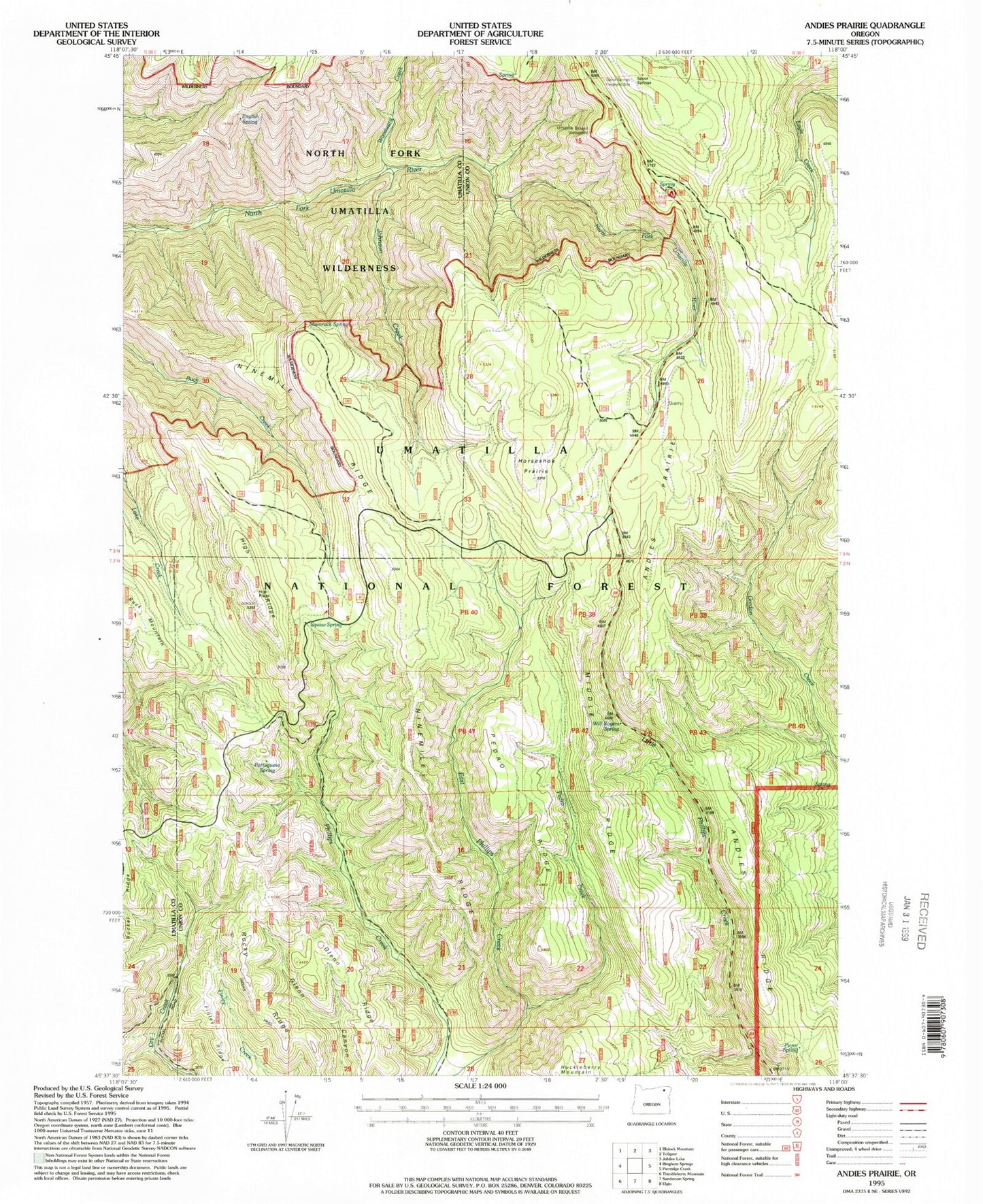
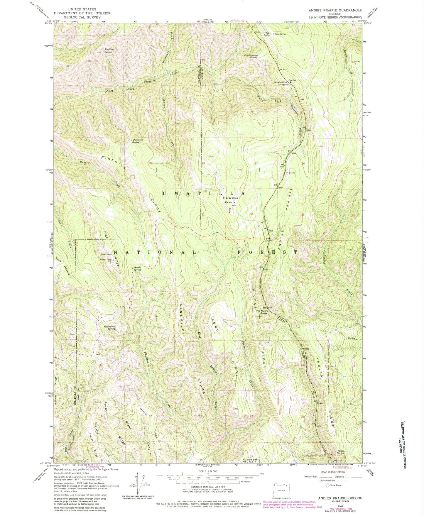
Classic USGS Andies Prairie Oregon 7.5'x7.5' Topo Map
Couldn't load pickup availability
Historical USGS topographic quad map of Andies Prairie in the state of Oregon. Typical map scale is 1:24,000, but may vary for certain years, if available. Print size: 24" x 27"
This quadrangle is in the following counties: Umatilla, Union.
The map contains contour lines, roads, rivers, towns, and lakes. Printed on high-quality waterproof paper with UV fade-resistant inks, and shipped rolled.
Contains the following named places: Andies Prairie, Andies Ridge, English Spring, Finley Ridge, Glenn Ridge, High Ridge, Horseshoe Prairie, Johnson Creek, Middle Ridge, Ninemile Ridge, North Fork Trail, Pedro Creek, Pedro Ridge, Picnic Spring, Portuguese Spring, Rocky Ridge, Shamrock Spring, Patusway Spring, Umatilla Brakes Viewpoint, Waight Spring, Will Rogers Spring, Woodland Recreation Site, Woodward Creek, Indian Spring, Gant Spring, Huckleberry Spring, Odessa Spring, Ford Spring, Woodland Sno-Park