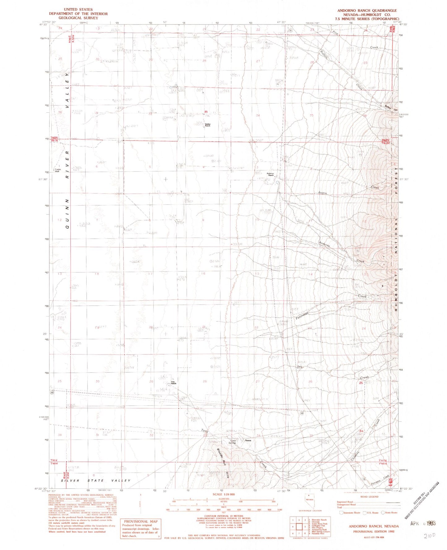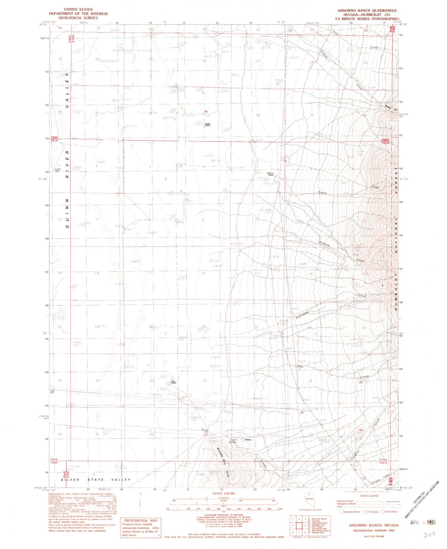
MyTopo
Classic USGS Andorno Ranch Nevada 7.5'x7.5' Topo Map
Couldn't load pickup availability
Historical USGS topographic quad map of Andorno Ranch in the state of Nevada. Map scale may vary for some years, but is generally around 1:24,000. Print size is approximately 24" x 27"
This quadrangle is in the following counties: Humboldt.
The map contains contour lines, roads, rivers, towns, and lakes. Printed on high-quality waterproof paper with UV fade-resistant inks, and shipped rolled.
Contains the following named places: Amos, Amos Post Office, Andorno Creek, Andorno House, Andorno Ranch, Austin Creek, Barber Ranch, Buffalo Canyon, Buffalo Springs Station, Cane Springs, Cane Springs Mill, Cane Springs Mine, Chimney Creek, Dry Creek, Franks Well, Frey Ranch, Mine Spring Station, Peterman Creek, Tony Creek