MyTopo
Classic USGS Andrews Oregon 7.5'x7.5' Topo Map
Couldn't load pickup availability
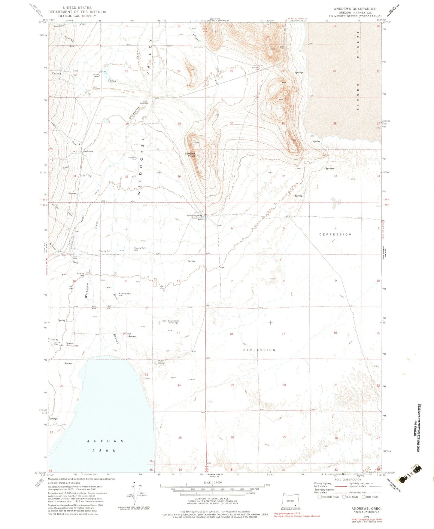
Historical USGS topographic quad map of Andrews in the state of Oregon. Map scale may vary for some years, but is generally around 1:24,000. Print size is approximately 24" x 27"
This quadrangle is in the following counties: Harney.
The map contains contour lines, roads, rivers, towns, and lakes. Printed on high-quality waterproof paper with UV fade-resistant inks, and shipped rolled.
Contains the following named places: Alvord Creek, Alvord Lake, Alvord Post Office, Andrews, Andrews Cemetery, Andrews Creek, Andrews Post Office, Andrews School, Butte Creek, Camp Alvord, Carlson Creek, Corral Creek, Dixon Spring, East Branch Wildhorse Creek, Juniper Creek, Kissack/Reynolds Airport, Kueny Ditch, Kueny Ranch, McLean Place, Miranda Creek, Penland Ranch, Reallis Homestead, Serrano Point, Serrano Point Ranch, Serrano Spring, Smyth Wells, Spring Creek, Wildhorse Creek, Wildhorse Valley, Wilson Creek