MyTopo
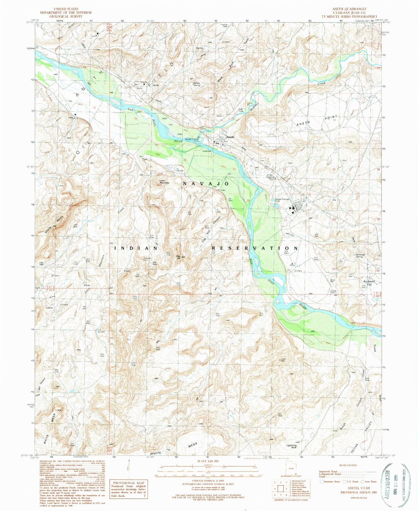
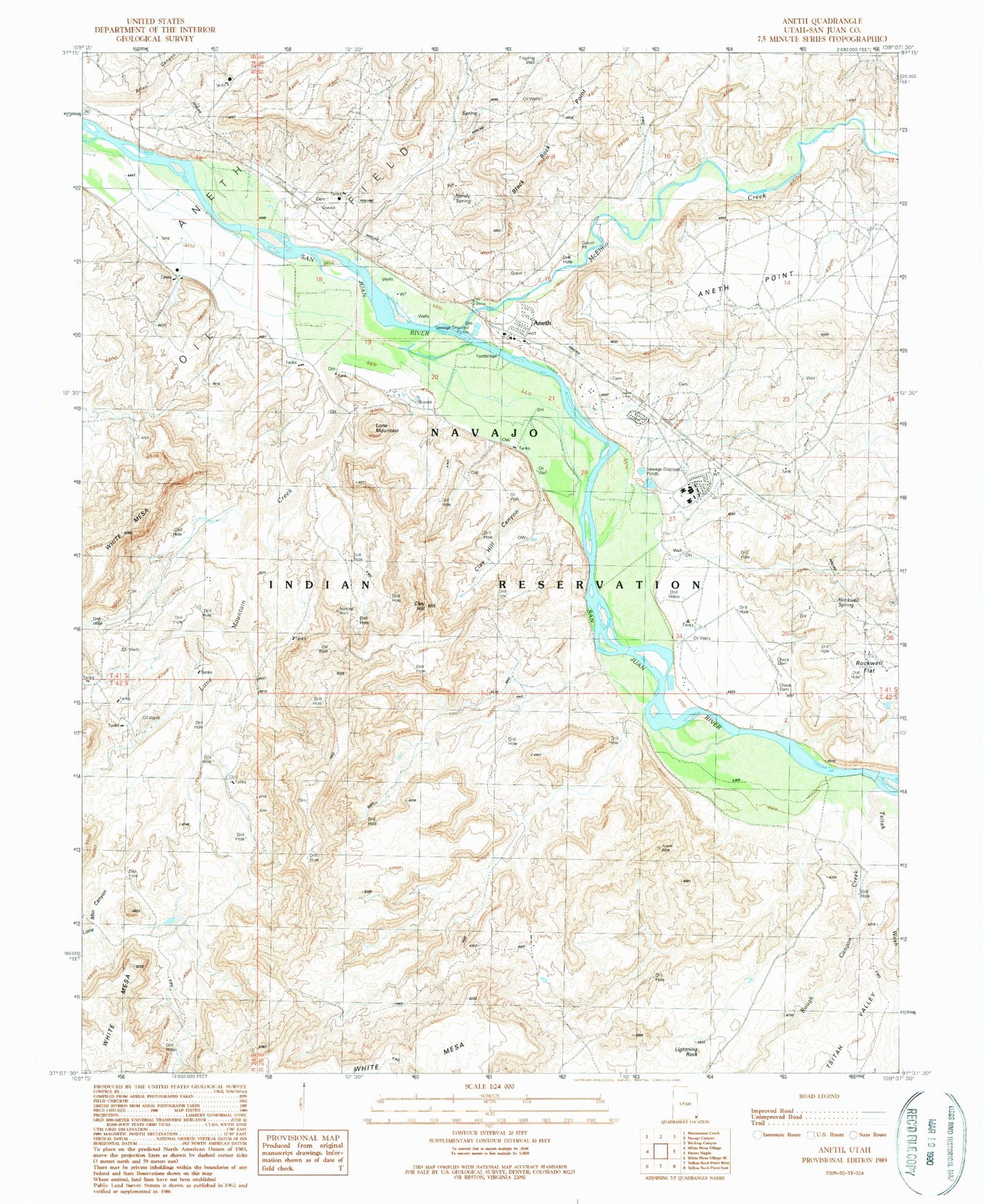
Classic USGS Aneth Utah 7.5'x7.5' Topo Map
Couldn't load pickup availability
Historical USGS topographic quad map of Aneth in the state of Utah. Map scale may vary for some years, but is generally around 1:24,000. Print size is approximately 24" x 27"
This quadrangle is in the following counties: San Juan.
The map contains contour lines, roads, rivers, towns, and lakes. Printed on high-quality waterproof paper with UV fade-resistant inks, and shipped rolled.
Contains the following named places: Allen Canyon, Aneth, Aneth Area Buials Cemetery, Aneth Census Designated Place, Aneth Point, Aneth Post Office, Black Rock Point, Clay Hill, Clay Hill Canyon, Lightning Rock, Lone Mountain, Lone Mountain Canyon, Lone Mountain Creek, McElmo Creek, Rockwell Flat, Rockwell Spring, Rough Canyon Creek, Sandy Spring, Tsitah Wash