MyTopo
Classic USGS Angel Peak Nevada 7.5'x7.5' Topo Map
Couldn't load pickup availability
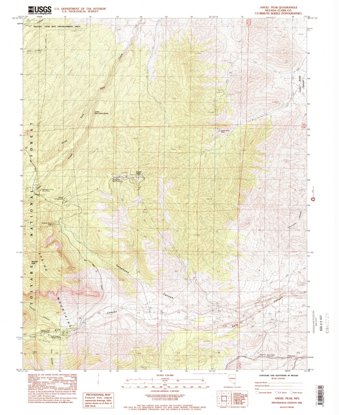
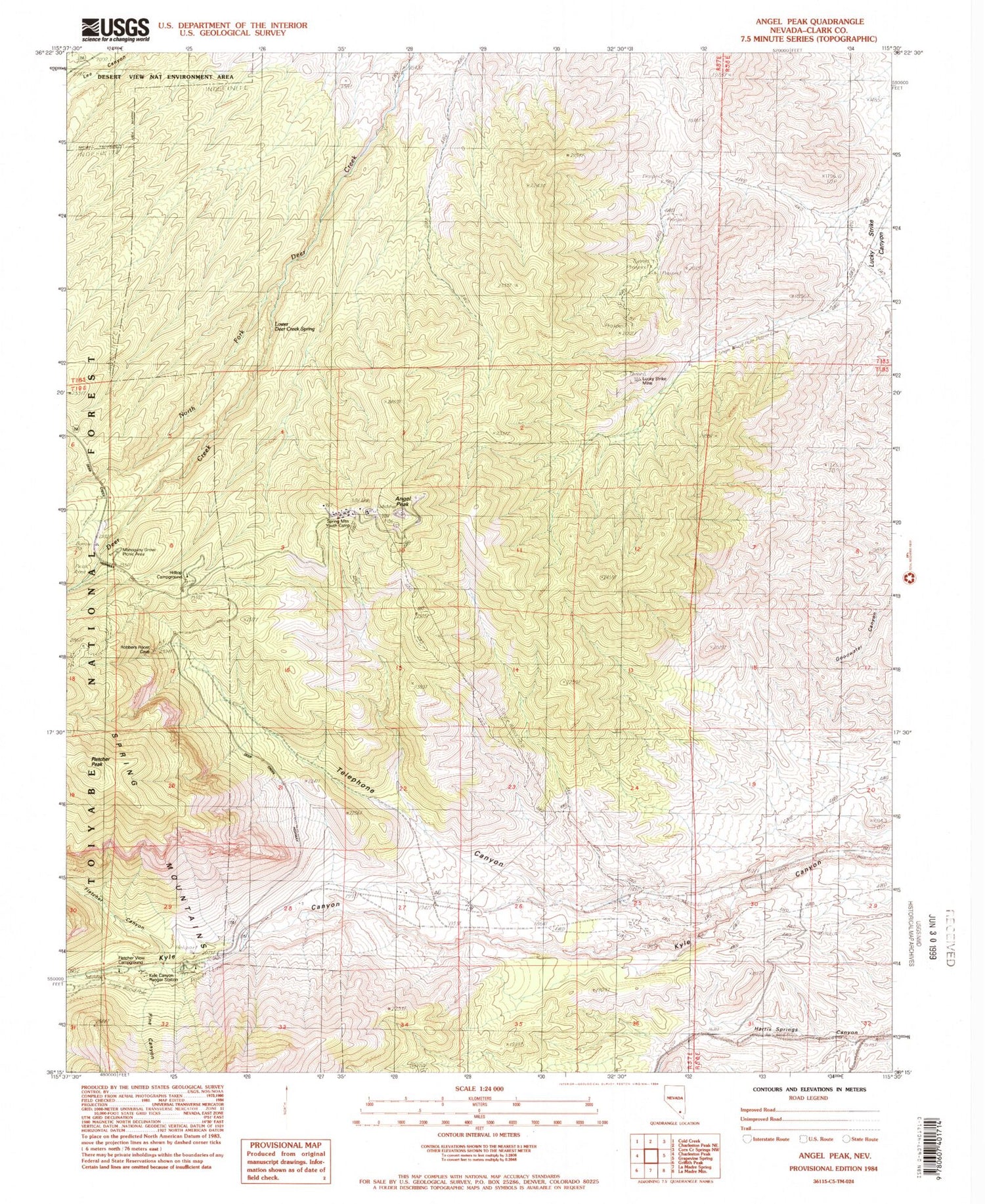
Historical USGS topographic quad map of Angel Peak in the state of Nevada. Typical map scale is 1:24,000, but may vary for certain years, if available. Print size: 24" x 27"
This quadrangle is in the following counties: Clark.
The map contains contour lines, roads, rivers, towns, and lakes. Printed on high-quality waterproof paper with UV fade-resistant inks, and shipped rolled.
Contains the following named places: Grassy Spring, Charleston Mining District, Angel Peak, Mahogany Grove Picnic Area, Desert View Point, Fletcher Canyon, Hilltop Campground, Kyle Canyon Ranger Station, North Fork Deer Creek, Pine Canyon, Telephone Canyon, Lower Deer Creek Spring, Lucky Strike Mine, Spring Mountain Youth Camp, Fletcher View Campground, Goodwater Spring, Sidehill Spring, Two Spring, Kyles Saw Mill (historical), Fletcher Peak, Kyle Canyon Campground, Kyle Canyon RV Camp, Mount Charleston North Trailhead, Deer Creek Picnic Area, Las Vegas Air Force Station (historical), Mount Charleston Census Designated Place