MyTopo
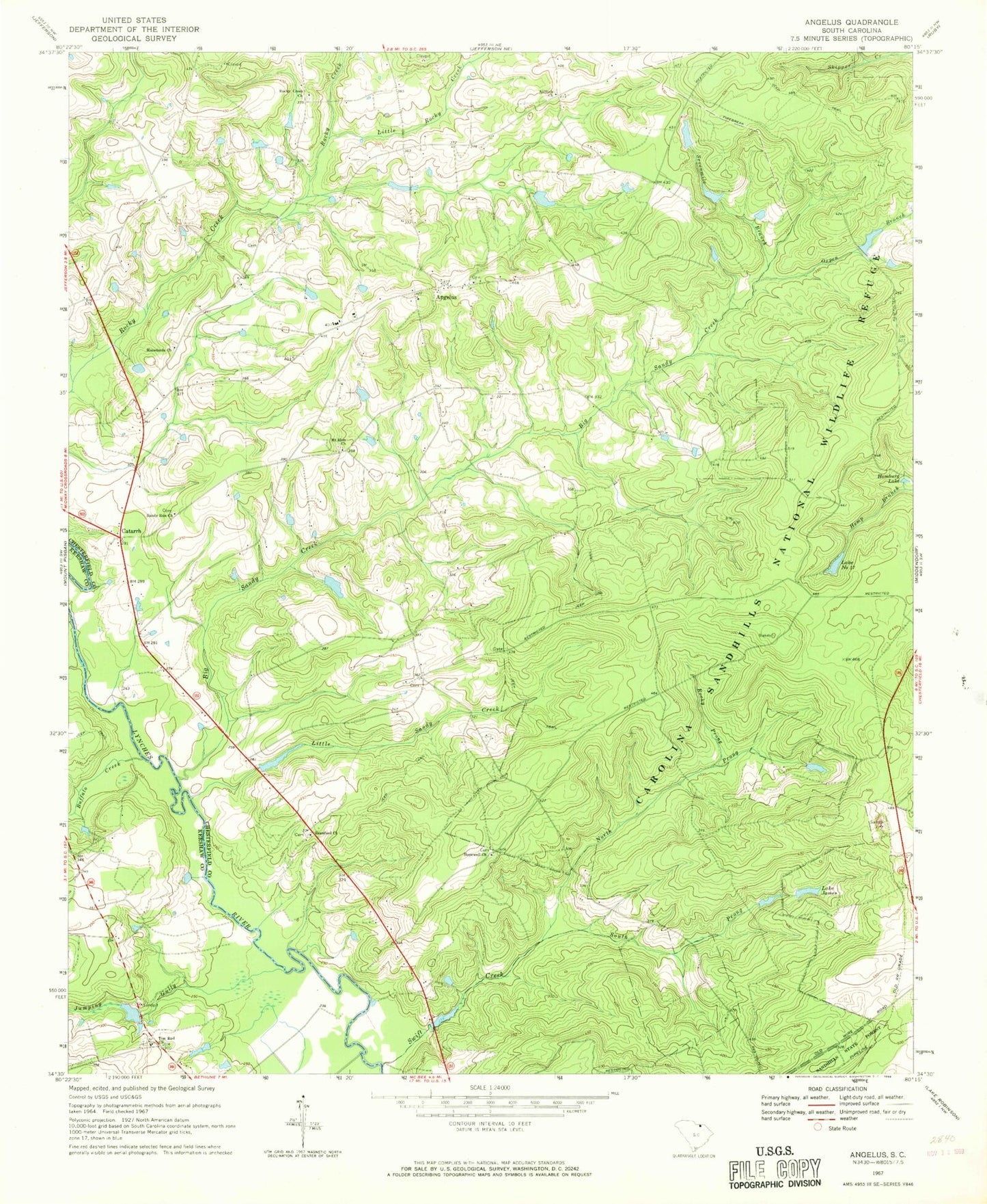
Classic USGS Angelus South Carolina 7.5'x7.5' Topo Map
Couldn't load pickup availability
Historical USGS topographic quad map of Angelus in the state of South Carolina. Map scale may vary for some years, but is generally around 1:24,000. Print size is approximately 24" x 27"
This quadrangle is in the following counties: Chesterfield, Kershaw.
The map contains contour lines, roads, rivers, towns, and lakes. Printed on high-quality waterproof paper with UV fade-resistant inks, and shipped rolled.
Contains the following named places: Angelus, Angelus Church, Antioch Baptist Church, Batts Mill, Beauford Baptist Church, Beauford Church Cemetery, Big Sandy Creek, Buffalo Creek, Catarrh, Clarks Church, Evans Ford, Hamburg Lake, Herb Leard Pond Dam D-3181, Hopewell Baptist Church, Hopewell Church Cemetery, Hopewell School, Hortons Pond, Jumping Gully, Junction, Kirkleys Pond, Kirkleys Small Pond Dam D-3238, Kirley Pond Dam D-1812, Lake James, Lake Number Seventeen, Little Rocky Creek, Little Sandy Creek, Macedonia Church, Macedonia Church Cemetery, Macedonia School, Mount Elon Church, Mount Elon Church Cemetery, Mount Elon School, North Prong Swift Creek, Oxpen Branch, Rocky Creek Church, Rocky Creek Church Cemetery, Rocky Prong, Sandhill Volunteer Fire Department Station 2, Sandy Run Baptist Church, Sandy Run Church Cemetery, Sandy Run School, Sevenmile Branch, South Carolina Noname 13036 D-3227 Dam, South Carolina Noname 28009 D-2513 Dam, South Prong Swift Creek, Swift Creek, Tim Rod Church, Timrod School, Wesley Chapel, ZIP Code: 29718