
MyTopo
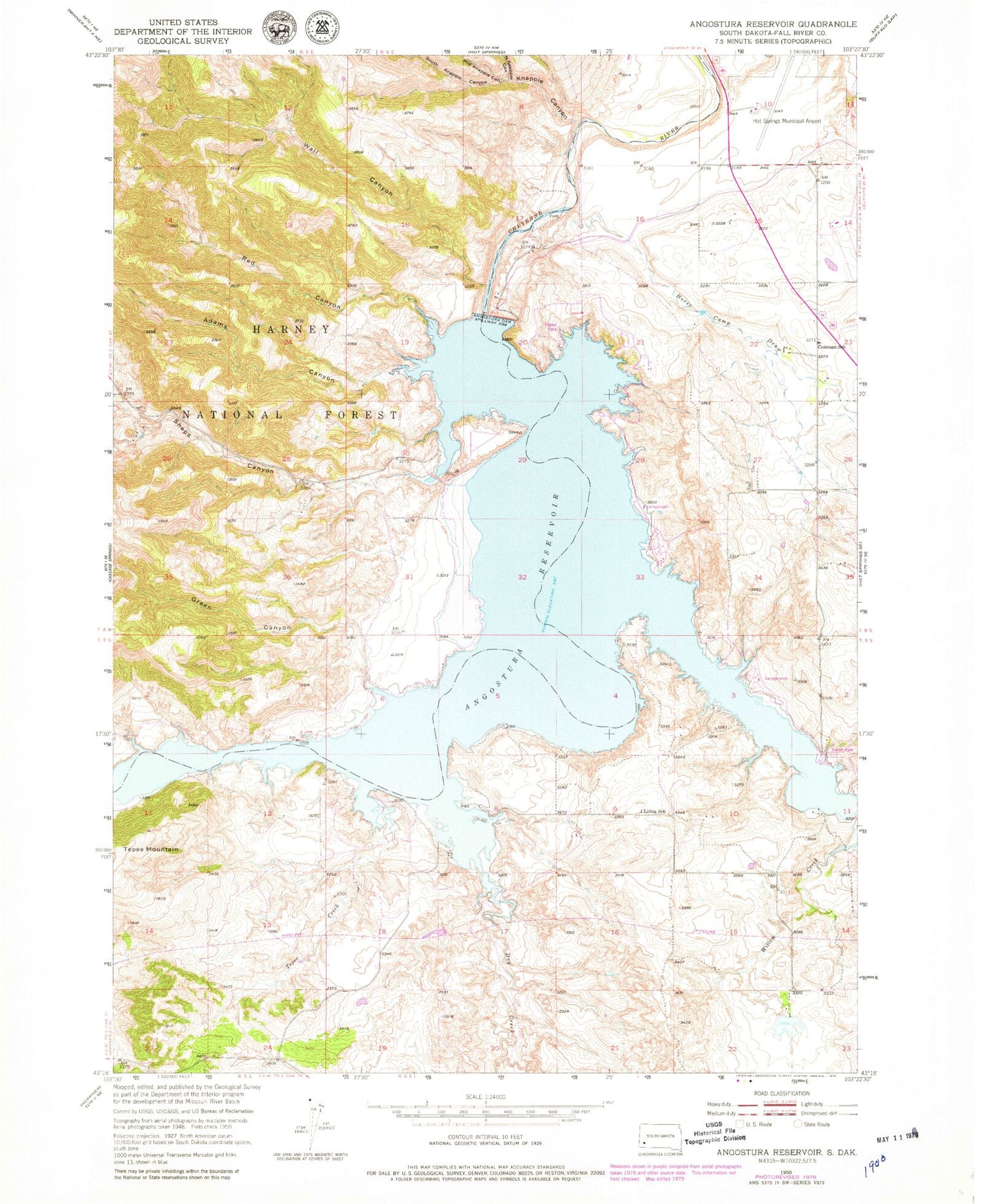
Classic USGS Angostura Reservoir South Dakota 7.5'x7.5' Topo Map
Couldn't load pickup availability
Historical USGS topographic quad map of Angostura Reservoir in the state of South Dakota. Map scale may vary for some years, but is generally around 1:24,000. Print size is approximately 24" x 27"
This quadrangle is in the following counties: Fall River.
The map contains contour lines, roads, rivers, towns, and lakes. Printed on high-quality waterproof paper with UV fade-resistant inks, and shipped rolled.
Contains the following named places: Adams Canyon, Angostura, Angostura Census Designated Place, Angostura Dam, Angostura Reservoir, Angostura Reservoir State Recreation Area, Bailey Pond Number 1 Dam, Coleman School, Dry Creek, Fall River Feedyard, Green Canyon, Horse Camp Draw, Horsehead Creek, Hot Springs Municipal Airport, Knapple Canyon, Lithia, Lithia Post Office, Lithia School, Maitland, Middle Knappie Canyon, North Knappie Canyon, Peterspuddle Dam, Red Canyon, Sheps Canyon, South Knappie Canyon, Tepee Creek, Tepee Mountain, Township of Lithia, Wall Canyon, Willow Creek


