
MyTopo
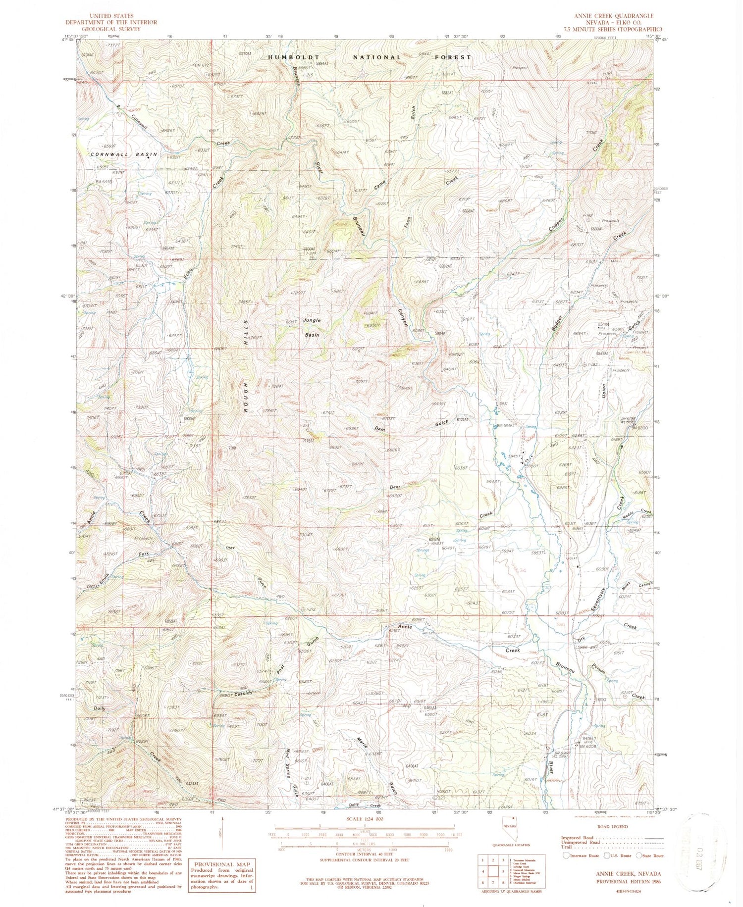
Classic USGS Annie Creek Nevada 7.5'x7.5' Topo Map
Couldn't load pickup availability
Historical USGS topographic quad map of Annie Creek in the state of Nevada. Map scale may vary for some years, but is generally around 1:24,000. Print size is approximately 24" x 27"
This quadrangle is in the following counties: Elko.
The map contains contour lines, roads, rivers, towns, and lakes. Printed on high-quality waterproof paper with UV fade-resistant inks, and shipped rolled.
Contains the following named places: Annie Creek, B Prunty Ranch, Badger Creek, Bayard, Bayard Post Office, Bear Creek, Browns Cabin, Bryan School, Camp Gulch, Cassidy Post Gulch, Charleston, Charleston Mining District, Charleston Post Office, Colvin Ranch, Copper Creek, Cornwall Basin, Cornwall Creek, Dam Gulch, Dry Creek, E Prunty Ranch, Echo Creek, Fawn Creek, Goodwin Ranch, Guerricabita Ranch, H Shively Ranch, Inez Gulch, Jungle Basin, Marie Gulch, McKnights Placer Mine, Miles Canyon, Mud Spring Gulch, Mud Springs, Person Creek, Rough Hills, Seventysix Creek, South Fork Annie Creek, Union Gulch, Waddy Creek, Walker Ranch


