
MyTopo
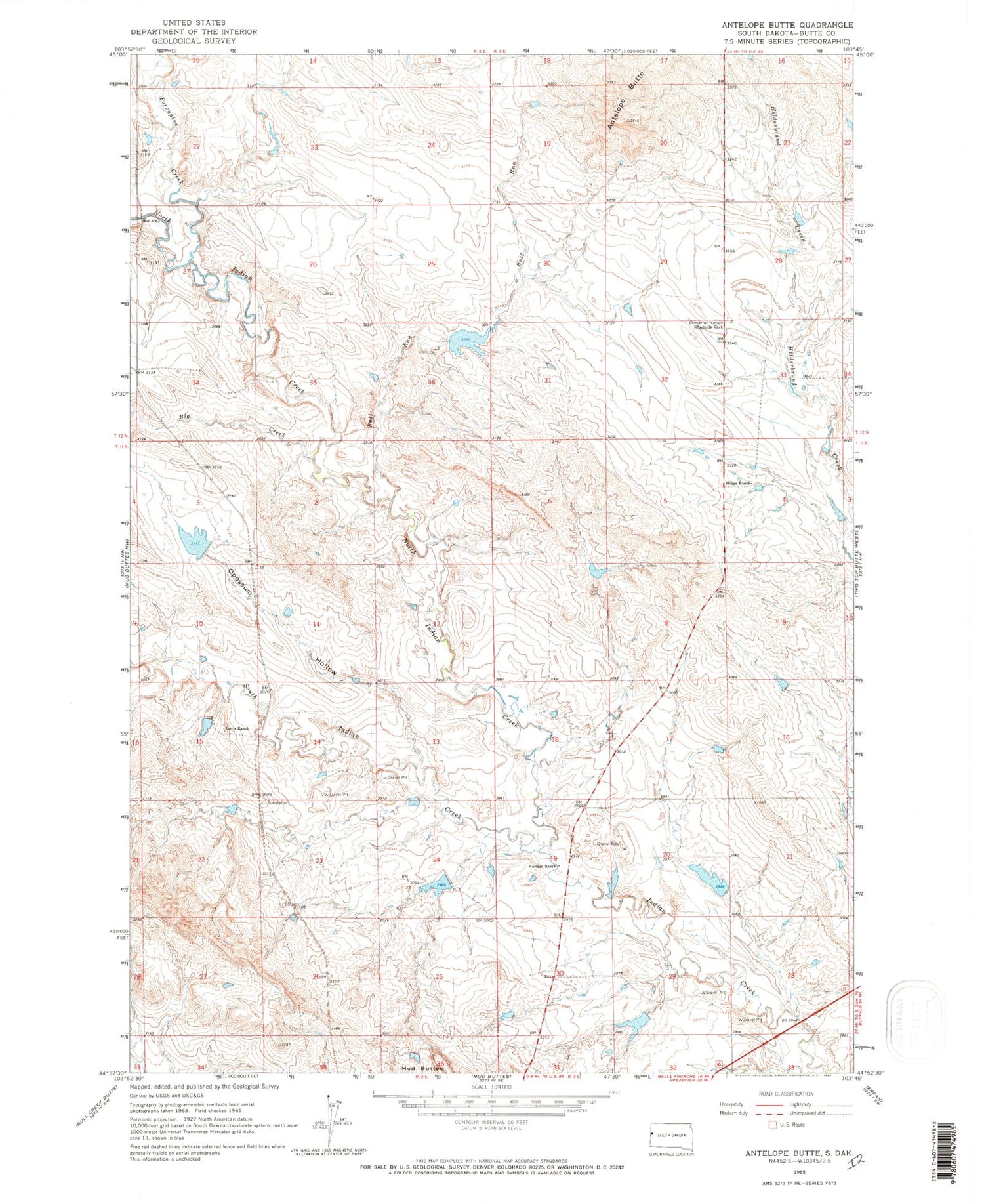
Classic USGS Antelope Butte South Dakota 7.5'x7.5' Topo Map
Couldn't load pickup availability
Historical USGS topographic quad map of Antelope Butte in the state of South Dakota. Map scale may vary for some years, but is generally around 1:24,000. Print size is approximately 24" x 27"
This quadrangle is in the following counties: Butte.
The map contains contour lines, roads, rivers, towns, and lakes. Printed on high-quality waterproof paper with UV fade-resistant inks, and shipped rolled.
Contains the following named places: Antelope Butte, Big Creek, Bull Run, Center of Nation Roadside Park, Davis Ranch, Davis Ranch Number 1 Dam, Delzer Number 1 Dam, Delzer Number 2 Dam, Delzer Number 3 Dam, H G Horman Dam Number 1, Hoeye Ranch, Horman Ranch, North Indian Creek, Opossum Hollow, Porcupine Creek, School Land Dam, South Indian Creek, Township of Eflle Fourche


