MyTopo
Classic USGS Antelope Island North Utah 7.5'x7.5' Topo Map
Couldn't load pickup availability
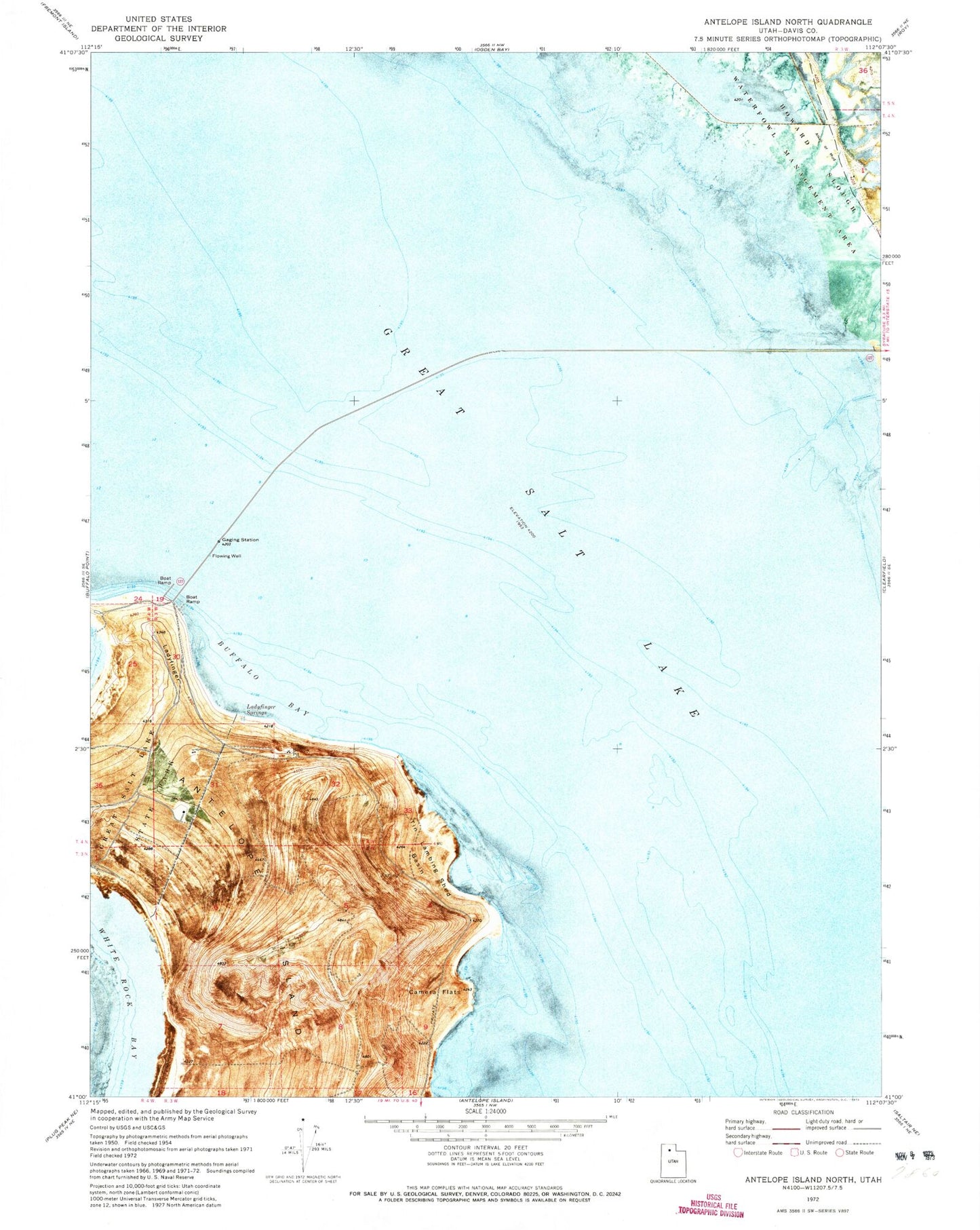
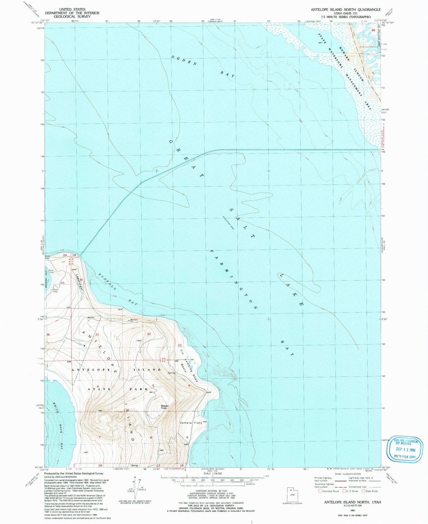
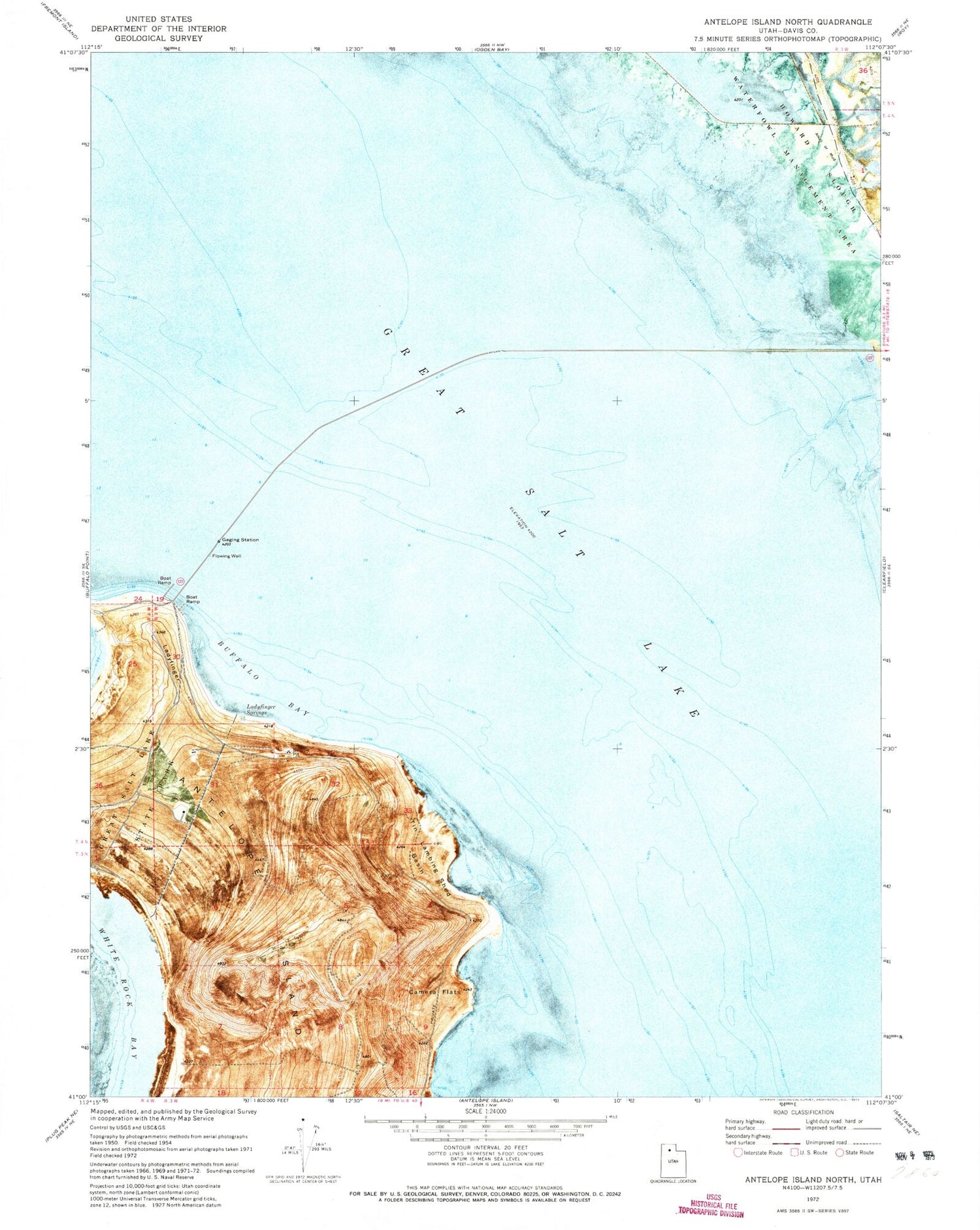
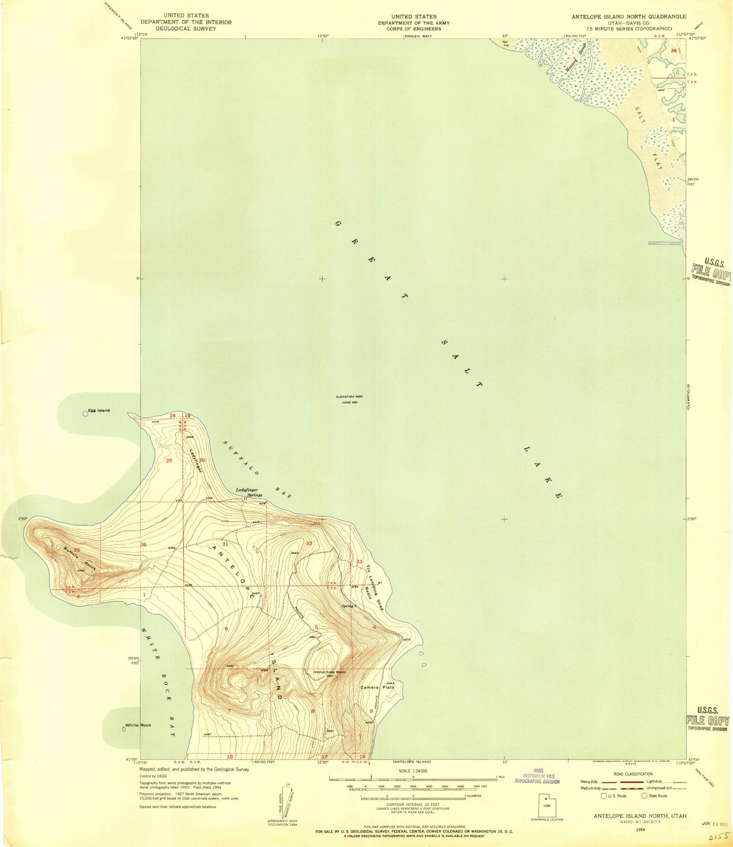
Historical USGS topographic quad map of Antelope Island North in the state of Utah. Map scale may vary for some years, but is generally around 1:24,000. Print size is approximately 24" x 27"
This quadrangle is in the following counties: Davis.
The map contains contour lines, roads, rivers, towns, and lakes. Printed on high-quality waterproof paper with UV fade-resistant inks, and shipped rolled.
Contains the following named places: Antelope Island Army Ranger and Air Force Memorial, Antelope Island Campground, Beacon Knob, Buffalo Bay, Camera Flats, Great Salt Lake State Park, Howard Slough Waterfowl Management Area, Ladyfinger, Ladyfinger Springs, North Davis Division, Payne Field, Tin Lambing Shed Basin, White Rock Bay