
MyTopo
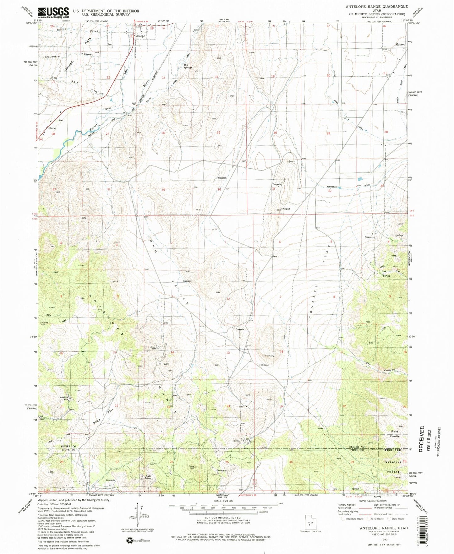
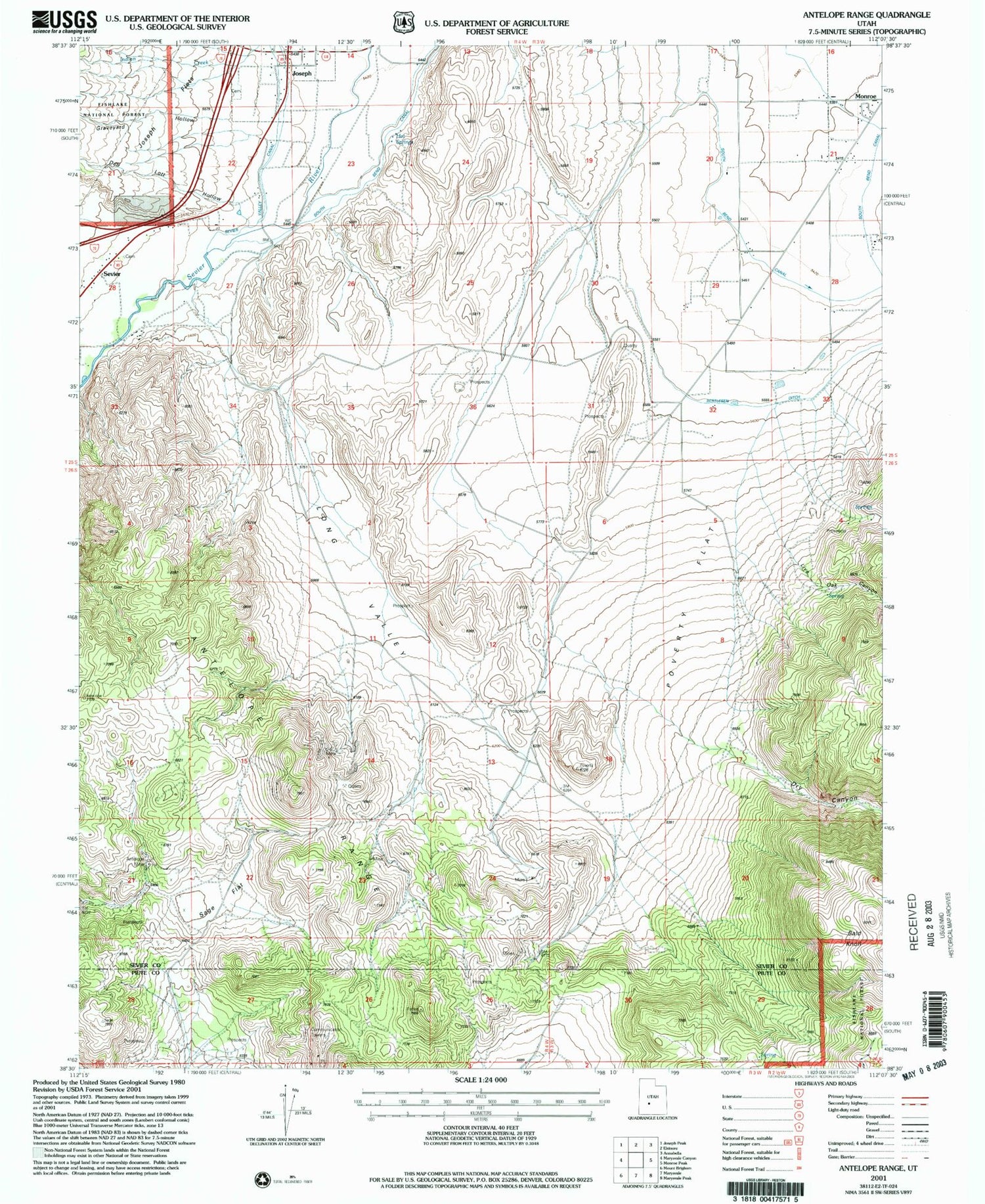
Classic USGS Antelope Range Utah 7.5'x7.5' Topo Map
Couldn't load pickup availability
Historical USGS topographic quad map of Antelope Range in the state of Utah. Map scale may vary for some years, but is generally around 1:24,000. Print size is approximately 24" x 27"
This quadrangle is in the following counties: Piute, Sevier.
The map contains contour lines, roads, rivers, towns, and lakes. Printed on high-quality waterproof paper with UV fade-resistant inks, and shipped rolled.
Contains the following named places: Antelope Mine, Antelope Range, Antelope Valley, Bald Knolls, Cove, Dell Lott Hollow, Dry Canyon, Graveyard Hollow, Hot Springs, Indian Creek, Joseph Cemetery, Live Oak Canyon, Long Valley, Monroe Division, Poverty Flat, Poverty Flat Ranch, Sage Flat, Sevier Cemetery, Town of Joseph