MyTopo
Classic USGS Applegate Oregon 7.5'x7.5' Topo Map
Couldn't load pickup availability
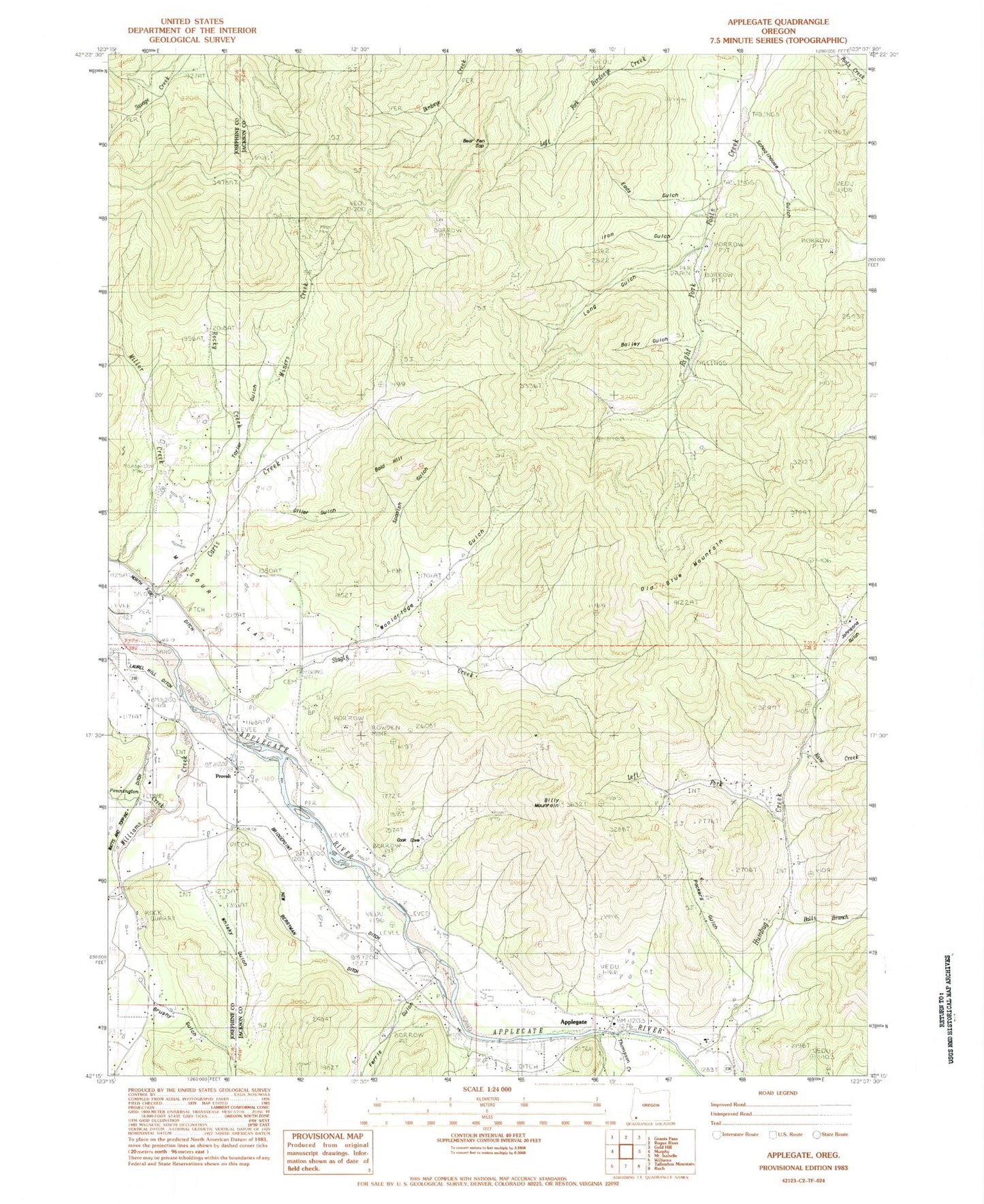
Historical USGS topographic quad map of Applegate in the state of Oregon. Map scale may vary for some years, but is generally around 1:24,000. Print size is approximately 24" x 27"
This quadrangle is in the following counties: Jackson, Josephine.
The map contains contour lines, roads, rivers, towns, and lakes. Printed on high-quality waterproof paper with UV fade-resistant inks, and shipped rolled.
Contains the following named places: Applegate, Applegate Branch Library, Applegate Elementary School, Applegate Post Office, Applegate Valley Rural Fire Protection District 9 Station 1, Applegate Valley Rural Fire Protection District 9 Station 6, Bailey Gulch, Bald Hill, Balls Branch, Bear Pen Gap, Billy Mountain, Bridgepoint Ditch, Brushy Gulch, Camp Spencer, Cook Cove, Cook Reservoir, Cove Creek, Davidson Post Office, Dry Creek, Eads Gulch, Ferris Gulch, FS Reservoir, Gillet Gulch, Hog Eye Creek, Humbug Creek, Iron Gulch, Johnsons Gulch, Kane Creek, Kane Gulch, Kidney Gulch, Kubli, Kubli Post Office, Left Fork Balls Branch, Left Fork Humbug Creek, Left Fork Kidney Gulch, Long Gulch, Miller Mine, Miners Creek, Missouri Flat, Missouri Flat Cemetery, Mountain Lion Mine, Myrtle Gulch, New Berryman Ditch, Old Blue Mountain, Packers Gulch, Pennington Creek, Powell Creek, Provolt, Provolt Post Office, Rocky Creek, Rowden Mine, Schoolhouse Gulch, Slagle Creek, Spanish Gulch, Stone Sumps, Taylor Gulch, Thompson Creek, Watts and Topping Ditch, Whisky Gulch, Williams Creek, Williams Creek Post Office, Williams Guard Station, Wooldridge Creek, Wooldridge Gulch