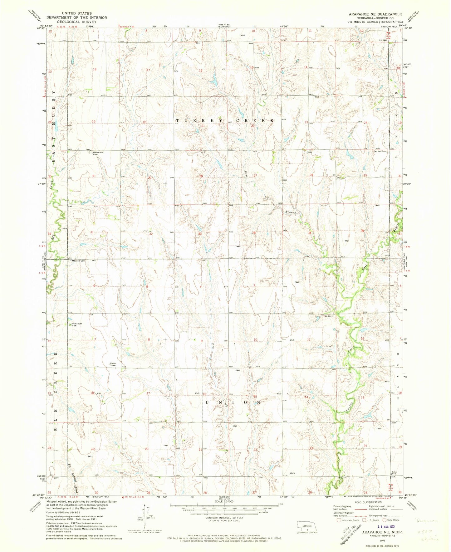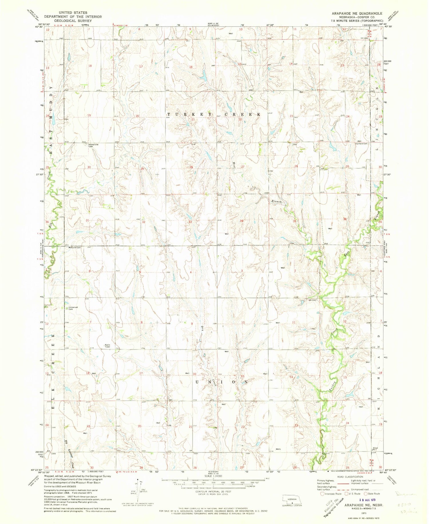
MyTopo
Classic USGS Arapahoe NE Nebraska 7.5'x7.5' Topo Map
Couldn't load pickup availability
Historical USGS topographic quad map of Arapahoe NE in the state of Nebraska. Map scale may vary for some years, but is generally around 1:24,000. Print size is approximately 24" x 27"
This quadrangle is in the following counties: Gosper.
The map contains contour lines, roads, rivers, towns, and lakes. Printed on high-quality waterproof paper with UV fade-resistant inks, and shipped rolled.
Contains the following named places: Anderson Dam, Anderson Reservoir, Carlson Dam Number 2, Carlson Reservoir Number 2, East Branch Turkey Creek, Fairfield Cemetery, Harmon Dam, Harmon Reservoir, Homerville Cemetery, Immanuel Lutheran Cemetery, Lavene Dam, Lavene Reservoir, Mc Guire Cemetery, Salisbury Dam, Salisbury Reservoir, School Number 7, Township of Turkey Creek, Township of Union, Turkey Creek Election Precinct, Union Election Precinct, West Branch Turkey Creek