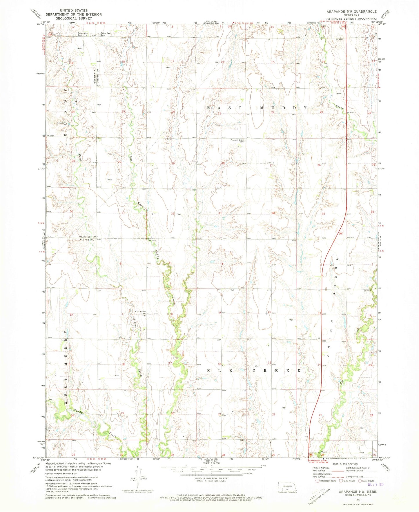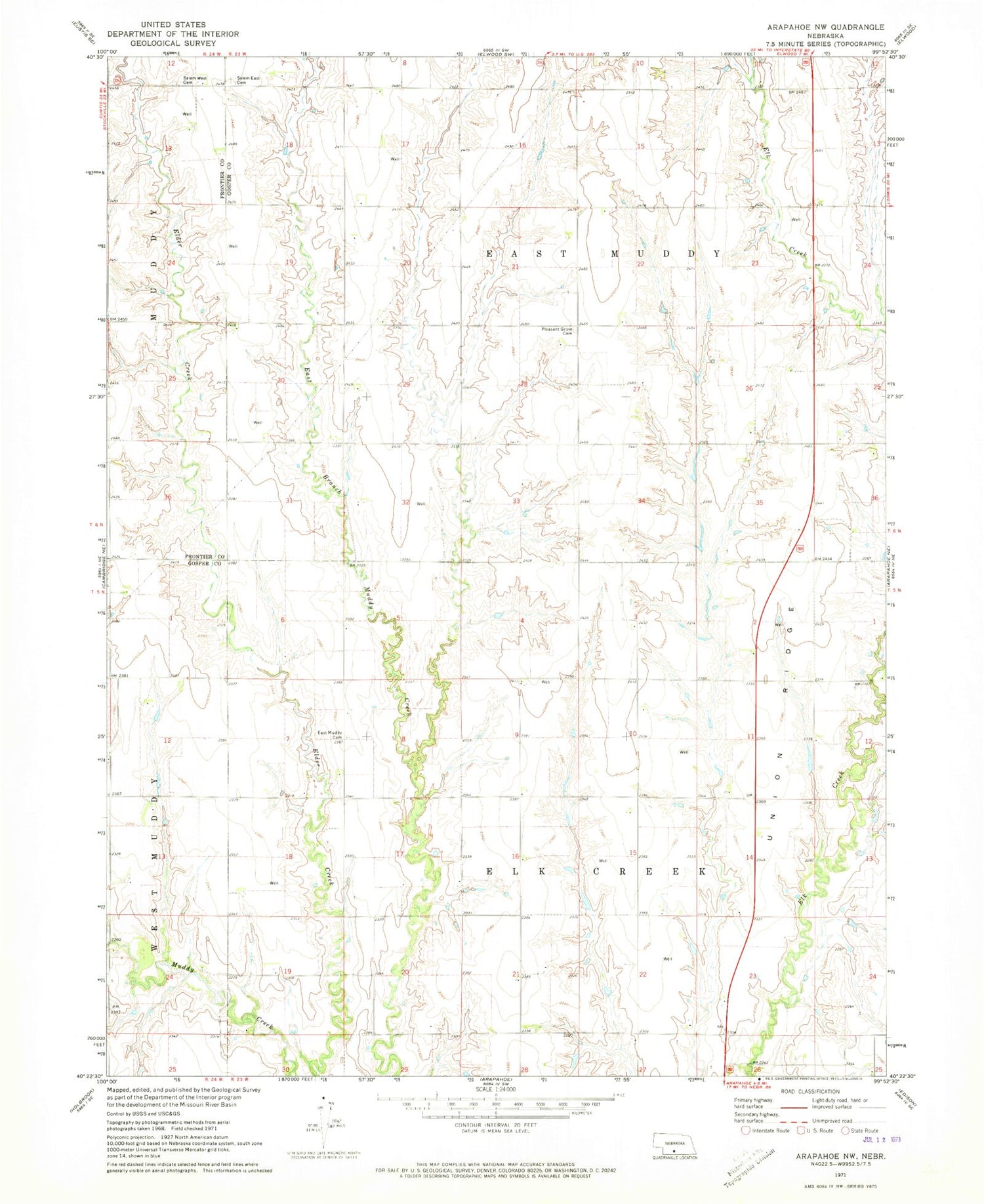
MyTopo
Classic USGS Arapahoe NW Nebraska 7.5'x7.5' Topo Map
Couldn't load pickup availability
Historical USGS topographic quad map of Arapahoe NW in the state of Nebraska. Map scale may vary for some years, but is generally around 1:24,000. Print size is approximately 24" x 27"
This quadrangle is in the following counties: Frontier, Gosper.
The map contains contour lines, roads, rivers, towns, and lakes. Printed on high-quality waterproof paper with UV fade-resistant inks, and shipped rolled.
Contains the following named places: Chambers-Graf Dam, Chambers-Graf Reservoir, East Muddy Cemetery, East Muddy Election Precinct, Elk Creek Election Precinct, Essmeger Dam, Essmeger Reservoir, Helms Dam, Helms Reservoir, Menze Dam, Menze Reservoir, Monter Dam, Monter Reservoir, Morgan Dam, Morgan Reservoir, Pleasant Grove Cemetery, Robinson Dam, Robinson Reservoir, Salem East Cemetery, Salem Lutheran Cemetery, Stagemeyer Dam, Stagemeyer Reservoir, Township of East Muddy, Township of Elk Creek, Union Ridge