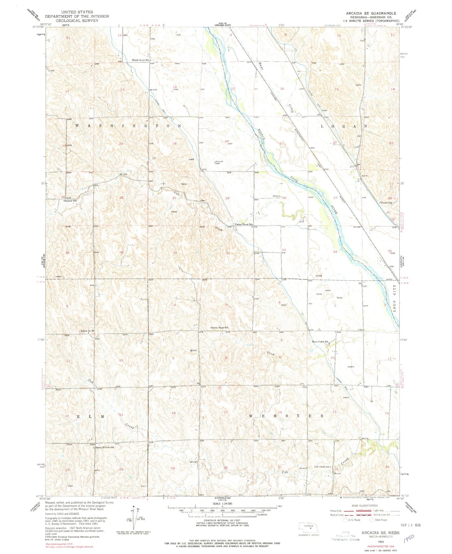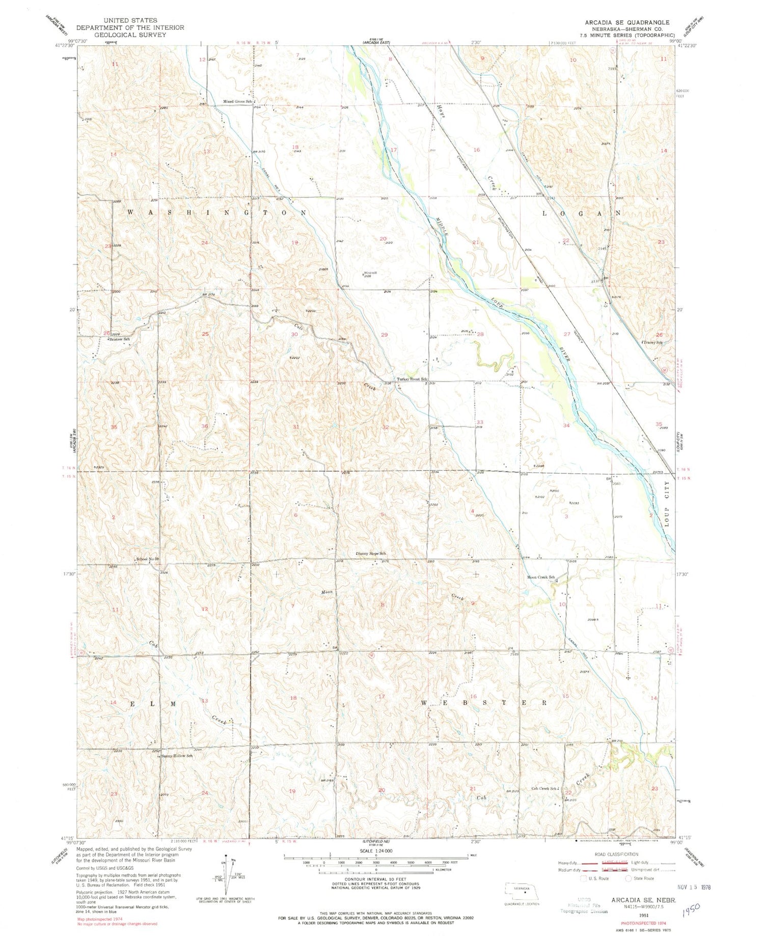
MyTopo
Classic USGS Arcadia SE Nebraska 7.5'x7.5' Topo Map
Couldn't load pickup availability
Historical USGS topographic quad map of Arcadia SE in the state of Nebraska. Map scale may vary for some years, but is generally around 1:24,000. Print size is approximately 24" x 27"
This quadrangle is in the following counties: Sherman.
The map contains contour lines, roads, rivers, towns, and lakes. Printed on high-quality waterproof paper with UV fade-resistant inks, and shipped rolled.
Contains the following named places: Bristow School, Canal Number 3, Canal Number 4, Central Loup City Election Precinct, Cob Creek School, Cole Creek, Hays Creek, McAlpine, Mixed Grove School, Moon Creek, Moon Creek School, School Number 59, Sunny Hollow School, Sunny Slope School, Township of Washington, Township of Webster, Tracey School, Turkey Roost School