MyTopo
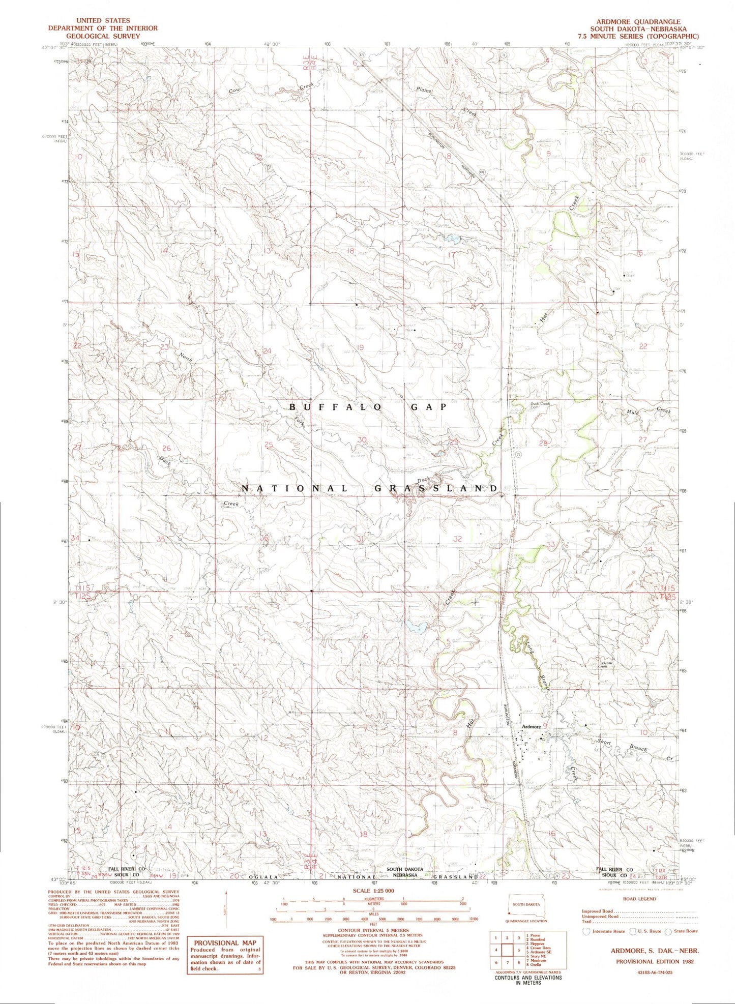
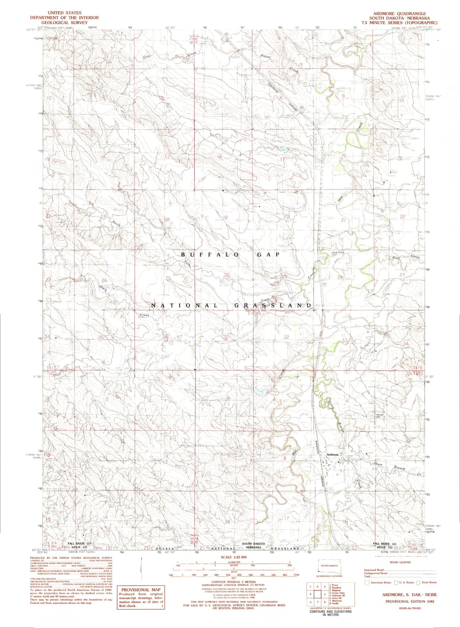
Classic USGS Ardmore South Dakota 7.5'x7.5' Topo Map
Couldn't load pickup availability
Historical USGS topographic quad map of Ardmore in the state of South Dakota. Map scale may vary for some years, but is generally around 1:24,000. Print size is approximately 24" x 27"
This quadrangle is in the following counties: Fall River, Sioux.
The map contains contour lines, roads, rivers, towns, and lakes. Printed on high-quality waterproof paper with UV fade-resistant inks, and shipped rolled.
Contains the following named places: Ardmore, Ardmore Census Designated Place, Ardmore Fire Department, Cow Creek, Dry Draw Dam, Duck Creek, Duck Creek Cemetery, Hunter Hill, Long Branch Creek, Middle Fork Duck Creek, Mule Creek, North Fork Duck Creek, Plains Creek, Short Branch Creek, Soske Dam, Township of Hat Creek, Wasserburger Pond, Wasserburger Pond Dam