MyTopo
Classic USGS Argo Hill Nebraska 7.5'x7.5' Topo Map
Couldn't load pickup availability
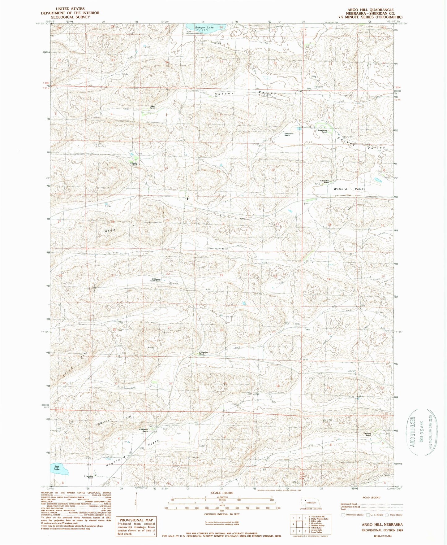
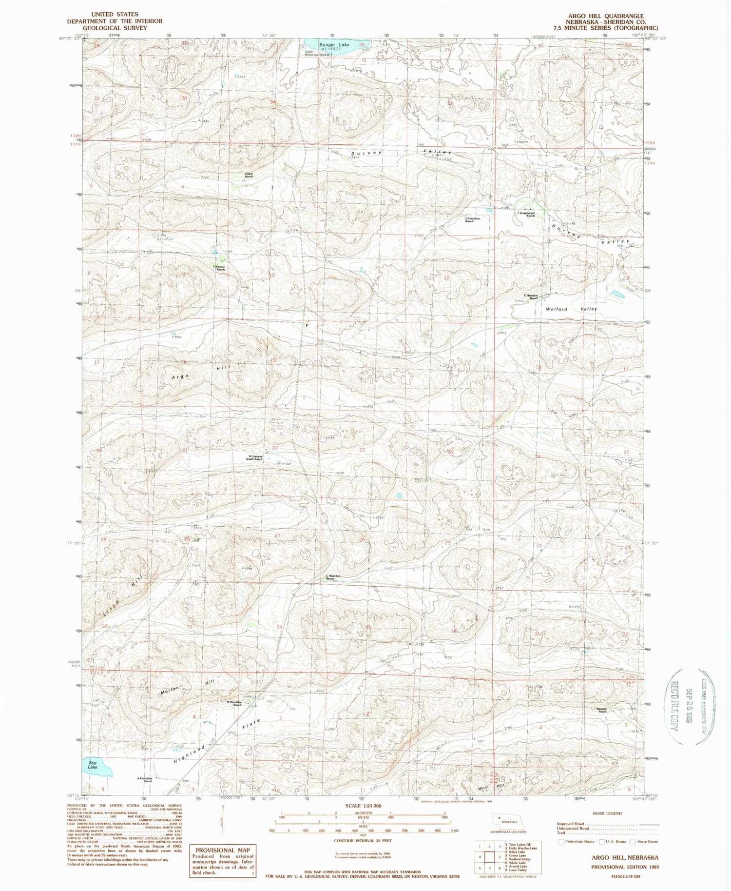
Historical USGS topographic quad map of Argo Hill in the state of Nebraska. Map scale may vary for some years, but is generally around 1:24,000. Print size is approximately 24" x 27"
This quadrangle is in the following counties: Sheridan.
The map contains contour lines, roads, rivers, towns, and lakes. Printed on high-quality waterproof paper with UV fade-resistant inks, and shipped rolled.
Contains the following named places: A Hamilton Ranch, Argo Hill, Bunger Lake, C Hamilton Ranch, D Hamilton Ranch, Dukat Ranch, E Hamilton Ranch, F Sandoz Ranch, H Glasgow South Ranch, Highland Flats, Kinkaid Election Precinct, Lloyd Hill, Mari Sandoz State Historical Marker, Mooney Ranch, Morton Hill, N Hamilton Ranch, School Number 131, School Number 143, Star Lake, T Strasburger Ranch, Wolf Hill