
MyTopo
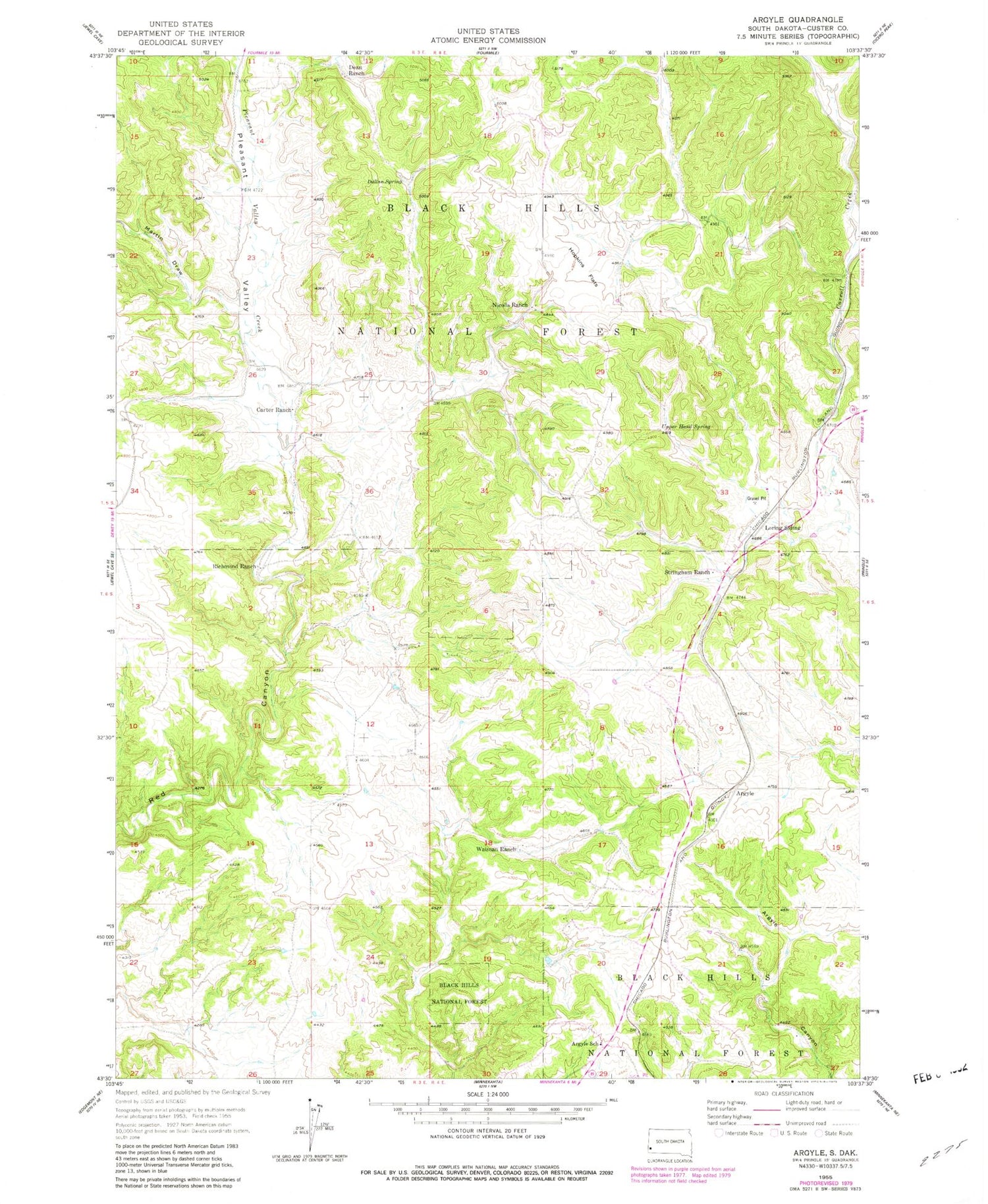
Classic USGS Argyle South Dakota 7.5'x7.5' Topo Map
Couldn't load pickup availability
Historical USGS topographic quad map of Argyle in the state of South Dakota. Map scale may vary for some years, but is generally around 1:24,000. Print size is approximately 24" x 27"
This quadrangle is in the following counties: Custer.
The map contains contour lines, roads, rivers, towns, and lakes. Printed on high-quality waterproof paper with UV fade-resistant inks, and shipped rolled.
Contains the following named places: Argyle, Argyle Fire Department, Argyle School, Carroll Creek, Carter Ranch, Dallan Spring, Dean Ranch, Eighteen Mile Ranch, Hopkins Flats, Loring Siding, Martin Draw, McClures Ranch, Nicolls Ranch, Pleasant Valley, Pleasant Valley Creek, Pleasant Valley School, Richmond Ranch, Snyders Ranch, Stringham Ranch, Two Bit Mine, Upper Hand Spring, Waisnan Ranch


