
MyTopo
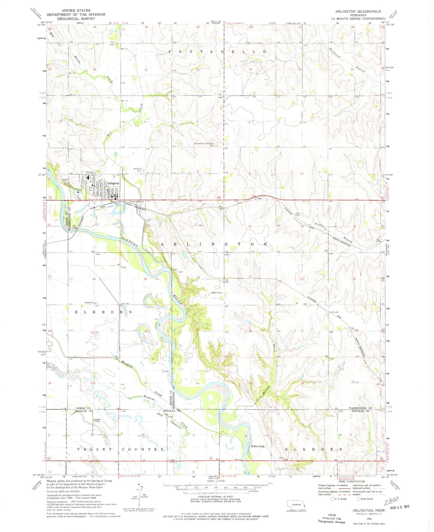
Classic USGS Arlington Nebraska 7.5'x7.5' Topo Map
Couldn't load pickup availability
Historical USGS topographic quad map of Arlington in the state of Nebraska. Map scale may vary for some years, but is generally around 1:24,000. Print size is approximately 24" x 27"
This quadrangle is in the following counties: Dodge, Douglas, Washington.
The map contains contour lines, roads, rivers, towns, and lakes. Printed on high-quality waterproof paper with UV fade-resistant inks, and shipped rolled.
Contains the following named places: Arlington, Arlington Cemetery, Arlington Community Church, Arlington Elementary School, Arlington Family Dentistry, Arlington High School, Arlington Post Office, Arlington Public Library, Arlington Volunteer Fire Department, Bell Creek, Brown Creek, Dunklau Dairy, Lang Dam, Lang Reservoir, Ray Creek, Rellers Park, School Number 3, Seventh Day Adventist Cemetery, Sibbernsen Airport, Startown School, Township 7, Village of Arlington, Washington County Fair Grounds, ZIP Code: 68002


