MyTopo
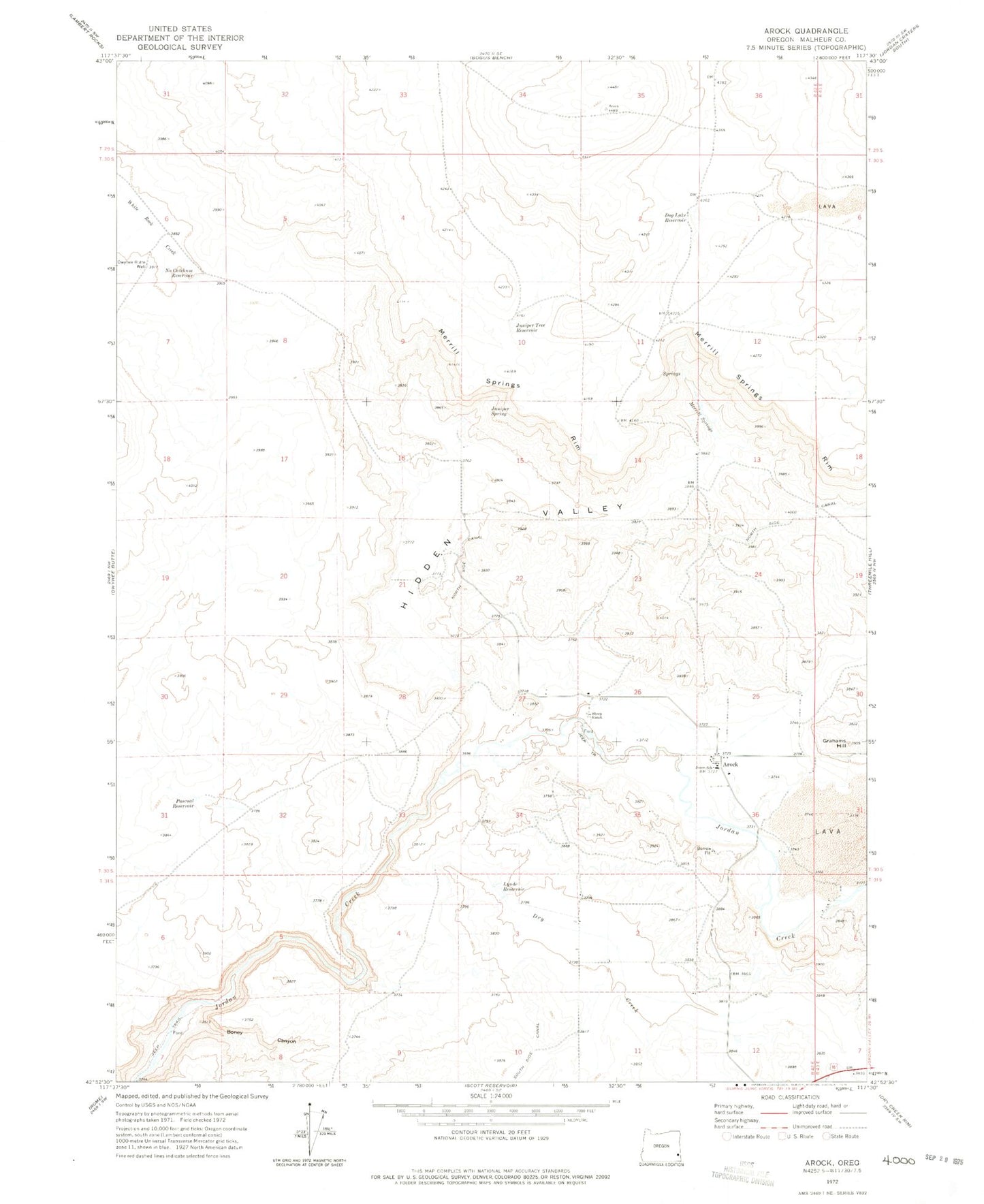
Classic USGS Arock Oregon 7.5'x7.5' Topo Map
Couldn't load pickup availability
Historical USGS topographic quad map of Arock in the state of Oregon. Map scale may vary for some years, but is generally around 1:24,000. Print size is approximately 24" x 27"
This quadrangle is in the following counties: Malheur.
The map contains contour lines, roads, rivers, towns, and lakes. Printed on high-quality waterproof paper with UV fade-resistant inks, and shipped rolled.
Contains the following named places: Arock, Arock Cemetery, Arock Post Office, Boney Canyon, Dog Lake Reservoir, Dry Creek, Eiguren Ranch, Elwood Ranch, Fretwell Ranch, Grafton Ranch, Grahams Hill, Greene Ranch, Hidden Valley, John Lequerica Ranch, Jones School, Juniper Spring, Juniper Tree Reservoir, Larrusea Ranch, Loren Miller Ranch, Lynde Reservoir, Merrill Springs, Merrill Springs Rim, No Catchum Reservoir, North Side Canal, Owyhee Butte Well, Pascual Reservoir, Sheep Ranch, Stitzel Ranch, Uriquiaga Ranch