MyTopo
Classic USGS Arthur Nebraska 7.5'x7.5' Topo Map
Couldn't load pickup availability
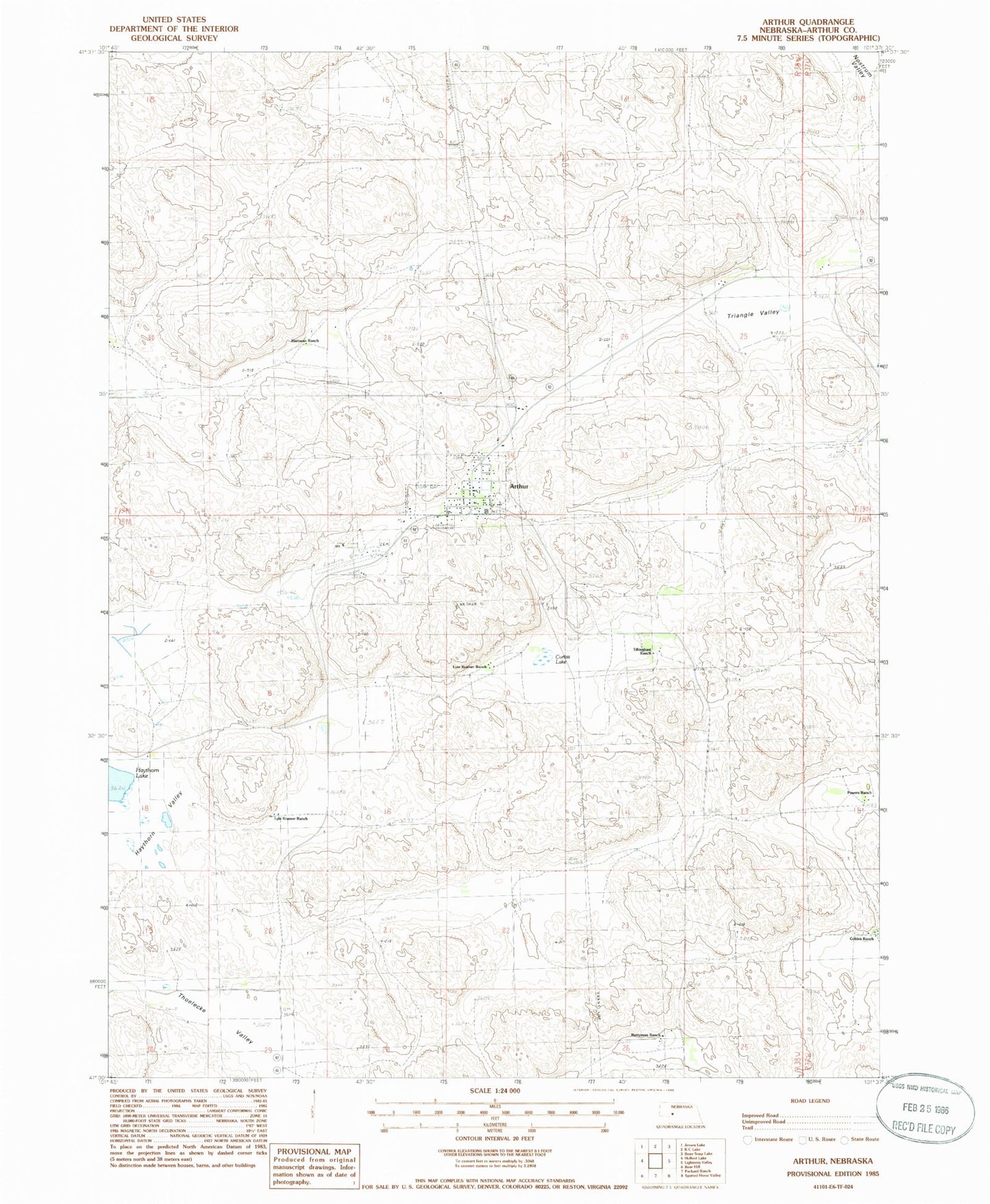
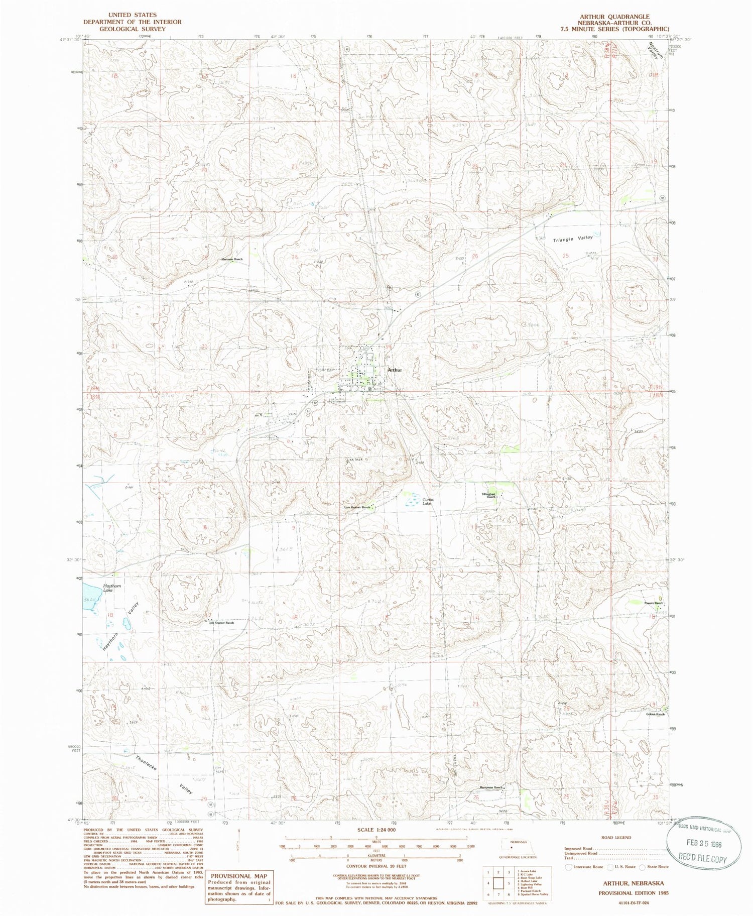
Historical USGS topographic quad map of Arthur in the state of Nebraska. Map scale may vary for some years, but is generally around 1:24,000. Print size is approximately 24" x 27"
This quadrangle is in the following counties: Arthur.
The map contains contour lines, roads, rivers, towns, and lakes. Printed on high-quality waterproof paper with UV fade-resistant inks, and shipped rolled.
Contains the following named places: Arthur, Arthur County, Arthur County Courthouse, Arthur County Fairground, Arthur County High School, Arthur County Library, Arthur County Rural Fire District, Arthur County Sheriff's Office, Arthur Election Precinct, Arthur Elementary School, Arthur Municipal Airport, Arthur Post Office, Baptist Church, Beekin Ranch, Berryman Ranch, Courthouse Museum, Curtiss Lake, Eymann Ranch, Golden Ranch, Hartman Ranch, Lute Kramer Ranch, Lyle Kramer Ranch, Pilgrim Holiness Church, Powers Ranch, School Number 3, Tillingbast Ranch, Triangle Valley, Village of Arthur, ZIP Code: 69121