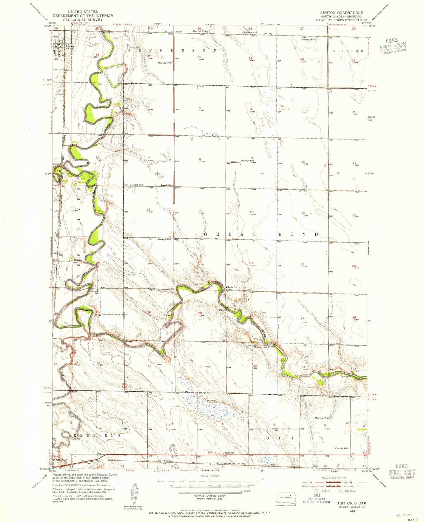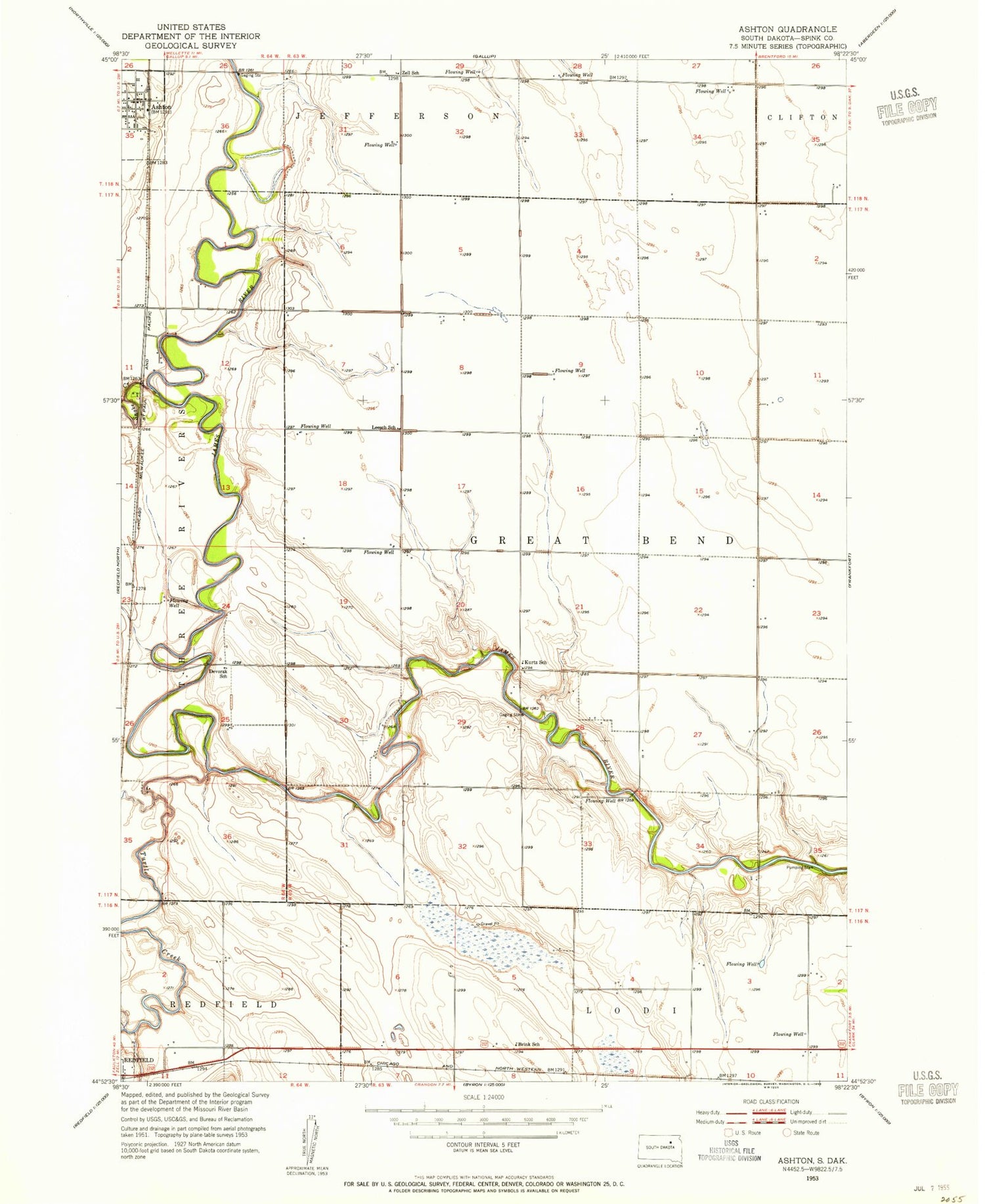
MyTopo
Classic USGS Ashton South Dakota 7.5'x7.5' Topo Map
Couldn't load pickup availability
Historical USGS topographic quad map of Ashton in the state of South Dakota. Map scale may vary for some years, but is generally around 1:24,000. Print size is approximately 24" x 27"
This quadrangle is in the following counties: Spink.
The map contains contour lines, roads, rivers, towns, and lakes. Printed on high-quality waterproof paper with UV fade-resistant inks, and shipped rolled.
Contains the following named places: Ashton, Ashton Fire Department, Ashton Post Office, Brink School, City of Ashton, Deiter Landing Strip, Devorak School, Halls Picnic Ground, Johnson School Number 5, Kieser School Number 7, Kurtz School, Leesch School, Old Ashton, School Number 4, Snake Creek, Steichen School Number 3, Township of Great Bend, Turtle Creek, Zell School