MyTopo
Classic USGS Ashwood Oregon 7.5'x7.5' Topo Map
Couldn't load pickup availability
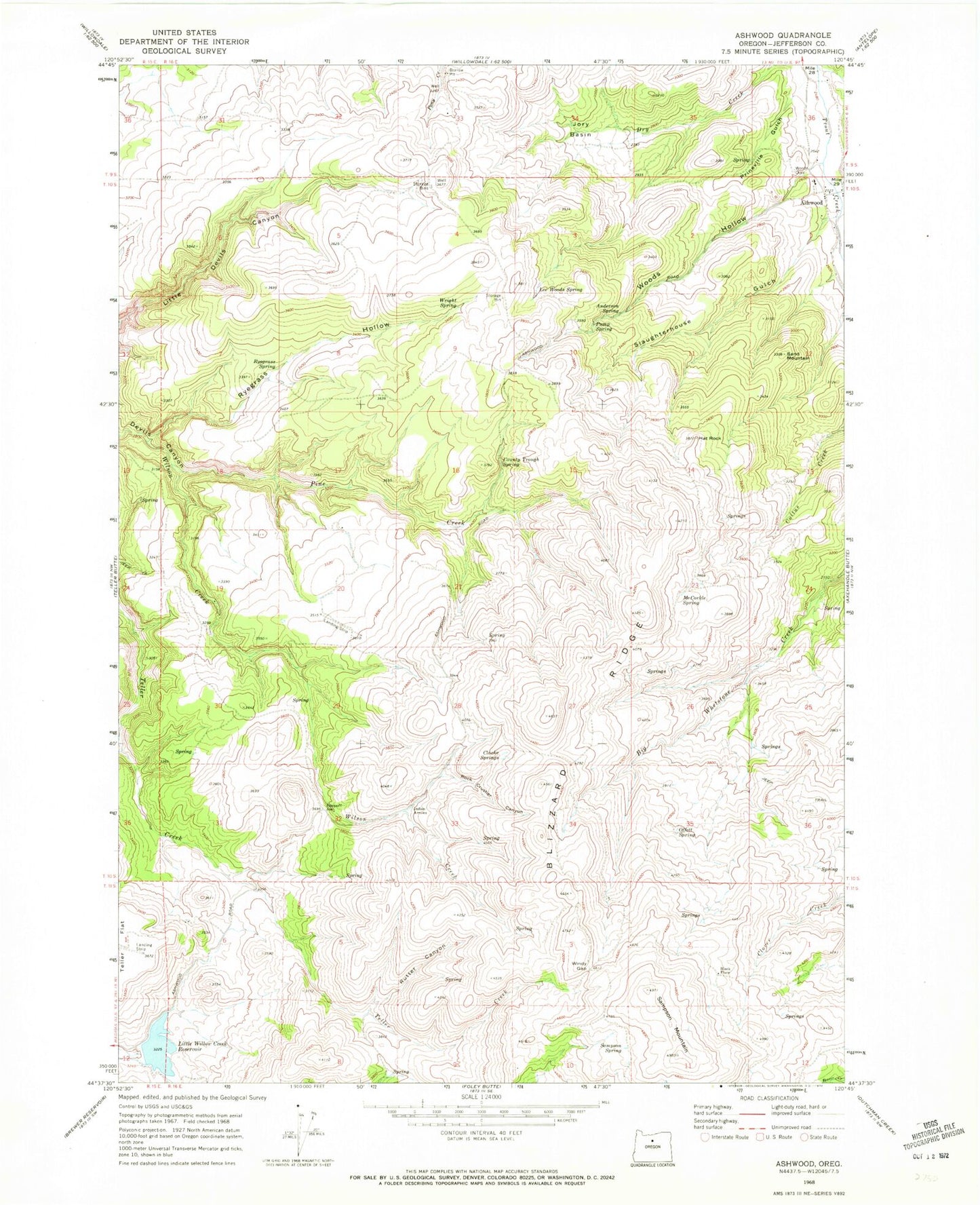
Historical USGS topographic quad map of Ashwood in the state of Oregon. Map scale may vary for some years, but is generally around 1:24,000. Print size is approximately 24" x 27"
This quadrangle is in the following counties: Jefferson.
The map contains contour lines, roads, rivers, towns, and lakes. Printed on high-quality waterproof paper with UV fade-resistant inks, and shipped rolled.
Contains the following named places: Anderson Spring, Ashwood, Ashwood Division, Ashwood Elementary School, Ashwood Post Office, Black Place, Blizzard Ridge, Clarke Orchard, Clarke Springs, County Trough Spring, Hat Rock, Indian Arrows, Jory Basin, Jumpoff Joe, Lee Woods Spring, Little Willow Creek Dam, Little Willow Creek Reservoir, Maud Post Office, McCorkle Spring, Offatt Spring, Pine Creek, Prineville Gulch, Pump Spring, Rock Crusher Canyon, Rutter Canyon, Ryegrass Hollow, Ryegrass Spring, Sampson Mountain, Sampson Spring, Sand Mountain, Slaughterhouse Gulch, Windy Gap, Woods Cemetery, Woods Hollow, Wright Spring