MyTopo
Classic USGS Atlantic SW Iowa 7.5'x7.5' Topo Map
Regular price
$16.95
Regular price
Sale price
$16.95
Unit price
per
Couldn't load pickup availability
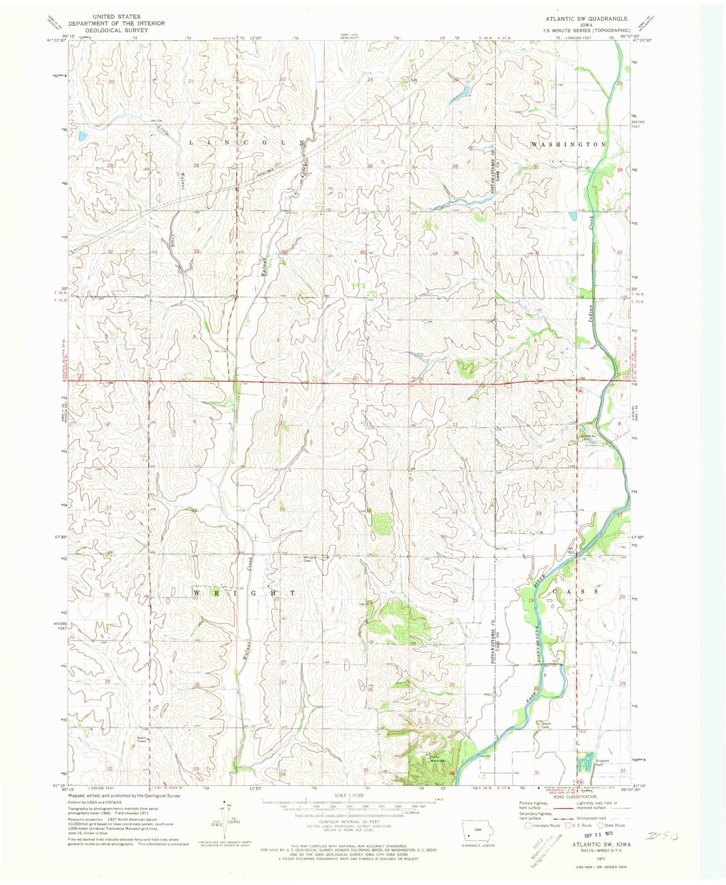
Historical USGS topographic quad map of Atlantic SW in the state of Iowa. Map scale may vary for some years, but is generally around 1:24,000. Print size is approximately 24" x 27"
This quadrangle is in the following counties: Cass, Pottawattamie.
The map contains contour lines, roads, rivers, towns, and lakes. Printed on high-quality waterproof paper with UV fade-resistant inks, and shipped rolled.
Contains the following named places: Camp Wakonda, Cocklin Fish Farm, Eranistan, Griswold Park, Indian Creek, Indian Creek Wildlife Area, Iranistan Post Office, Iranistan Rock Quarry Park, Little Walnut Creek, Smith Cemetery, Township of Wright, Whipple Cemetery, Whipple Post Office