
MyTopo
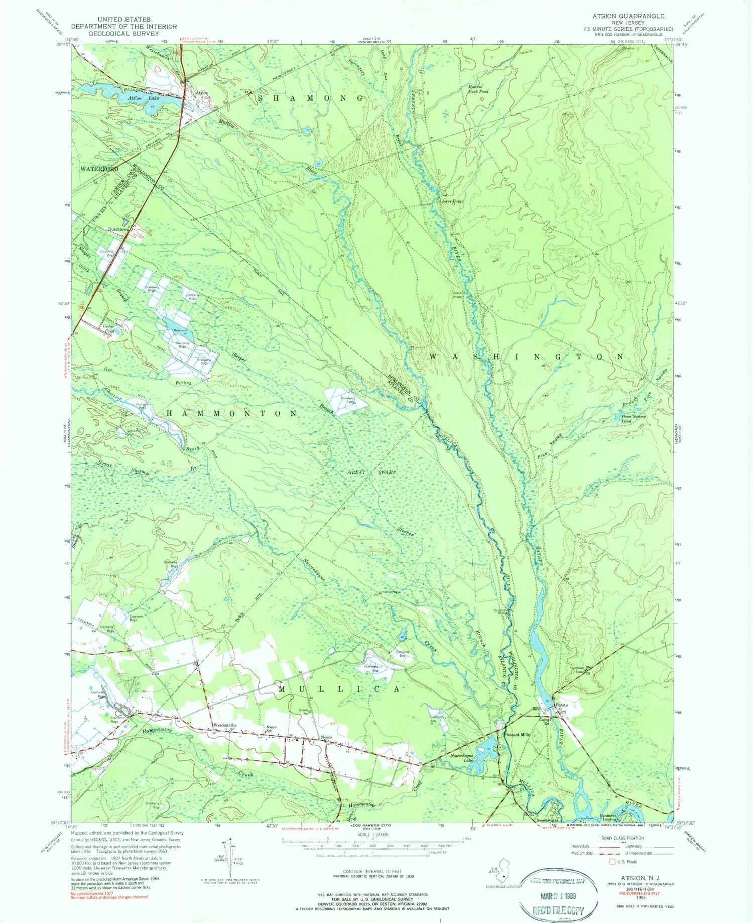
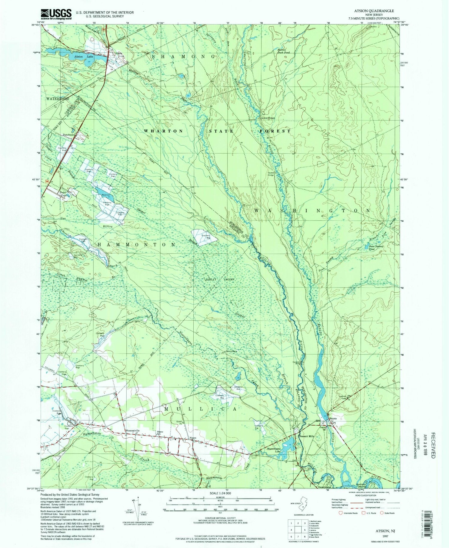
USGS Classic Atsion New Jersey 7.5'x7.5' Topo Map
Couldn't load pickup availability
Historical USGS topographic quad map of Atsion in the state of New Jersey. Scale: 1:24000. Print size: 24" x 27"
This quadrangle is in the following counties: Atlantic, Burlington, Camden.
The map contains contour lines, roads, rivers, towns, lakes, and grids including latitude / longitude and UTM / MGRS. Printed on high-quality waterproof paper with UV fade-resistant inks.
Contains the following named places: Nortons Branch, Albertson Brook, Atsion, Atsion Lake, Batsto, Batsto River, Brockaways Branch, Cedar Brook, Cedar Pond, Clark Branch, Deep Run, Drivers Branch, Dutchtown, Gardiners Landing, Great Swamp, Great Swamp Branch, Gun Branch, Hammonton Creek, Lower Forge, Mannis Duck Pond, Nesco, Nesco School, Nescochague Creek, Nescochague Lake, Penn Swamp, Penn Swamp Branch, Penn Swamp Pond, Petties Branch, Pleasant Mills, Quaker Bridge, Sleeper Branch, Springers Brook, Sweetwater, Wescoatville, Wesickaman Creek, Rockwood, Atsion Lake Dam, Batsto Lake, Batsto Dam, Pleasant Mills Dam, Bertino Heliport, Atsion Helistop, Grace Bible Baptist Church, Batsto Forestry Lookout Tower, Batsto-Pleasant Mills United Methodist Church, New Columbia-Nesco United Methodist Church, Nesco Volunteer Fire Company, Hilda S Frame School, Batsto Post Office, Nesco Census Designated Place


