
MyTopo
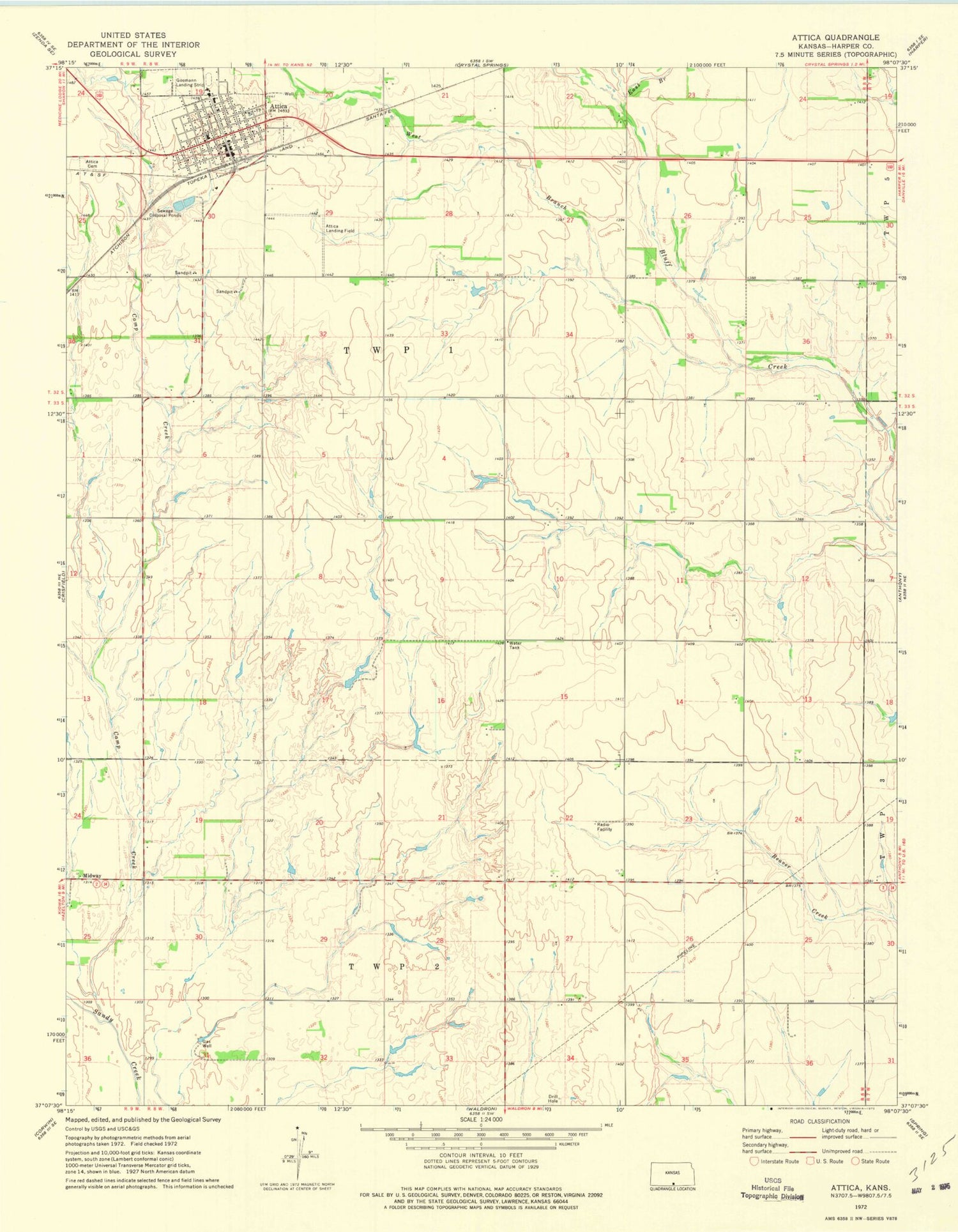
Classic USGS Attica Kansas 7.5'x7.5' Topo Map
Couldn't load pickup availability
Historical USGS topographic quad map of Attica in the state of Kansas. Map scale may vary for some years, but is generally around 1:24,000. Print size is approximately 24" x 27"
This quadrangle is in the following counties: Harper.
The map contains contour lines, roads, rivers, towns, and lakes. Printed on high-quality waterproof paper with UV fade-resistant inks, and shipped rolled.
Contains the following named places: Assembly of God Church, Attica, Attica Cemetery, Attica Christian Church, Attica City Library, Attica District 1 Fire Department, Attica High School, Attica Landing Field, Attica Police Department, Attica Post Office, Attica United Methodist Church, Attica Wastewater Plant, Camp Creek, City of Attica, East Branch Bluff Creek, Faith Baptist Church, House of Bread Ministry Center, Midway, Puls Elementary School, West Branch Bluff Creek


