MyTopo
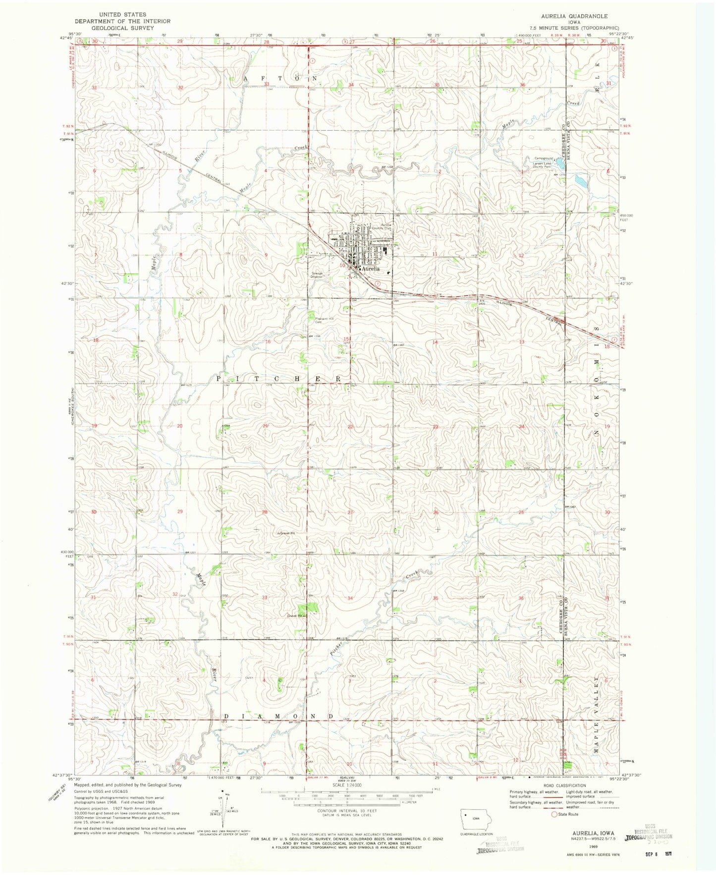
Classic USGS Aurelia Iowa 7.5'x7.5' Topo Map
Couldn't load pickup availability
Historical USGS topographic quad map of Aurelia in the state of Iowa. Map scale may vary for some years, but is generally around 1:24,000. Print size is approximately 24" x 27"
This quadrangle is in the following counties: Buena Vista, Cherokee.
The map contains contour lines, roads, rivers, towns, and lakes. Printed on high-quality waterproof paper with UV fade-resistant inks, and shipped rolled.
Contains the following named places: Alta - Aurelia Middle School, Aurelia, Aurelia Country Club, Aurelia Elementary School, Aurelia Fire Department, Aurelia Medical Clinic, Aurelia Police Department, Aurelia Post Office, Aurelia Public Library, Bradfield Farms, City of Aurelia, Congregational United Church, Farmers Co-op Elevator, First United Methodist Church, Kludas Farms, Larson Lake, Larson Lake County Park, Maple Creek, Maplewood Farms, Mier Farms, Nester Stiles State Preserve, Pitcher Creek, Pleasant Hill Cemetery, Prescott Prairie, Saint Paul Lutheran Church, Southern Acres Mobile Estates, Stellish Farm, Stender Farm, Sunset Knoll Retirement Home, Township of Pitcher, ZIP Code: 51005