
MyTopo
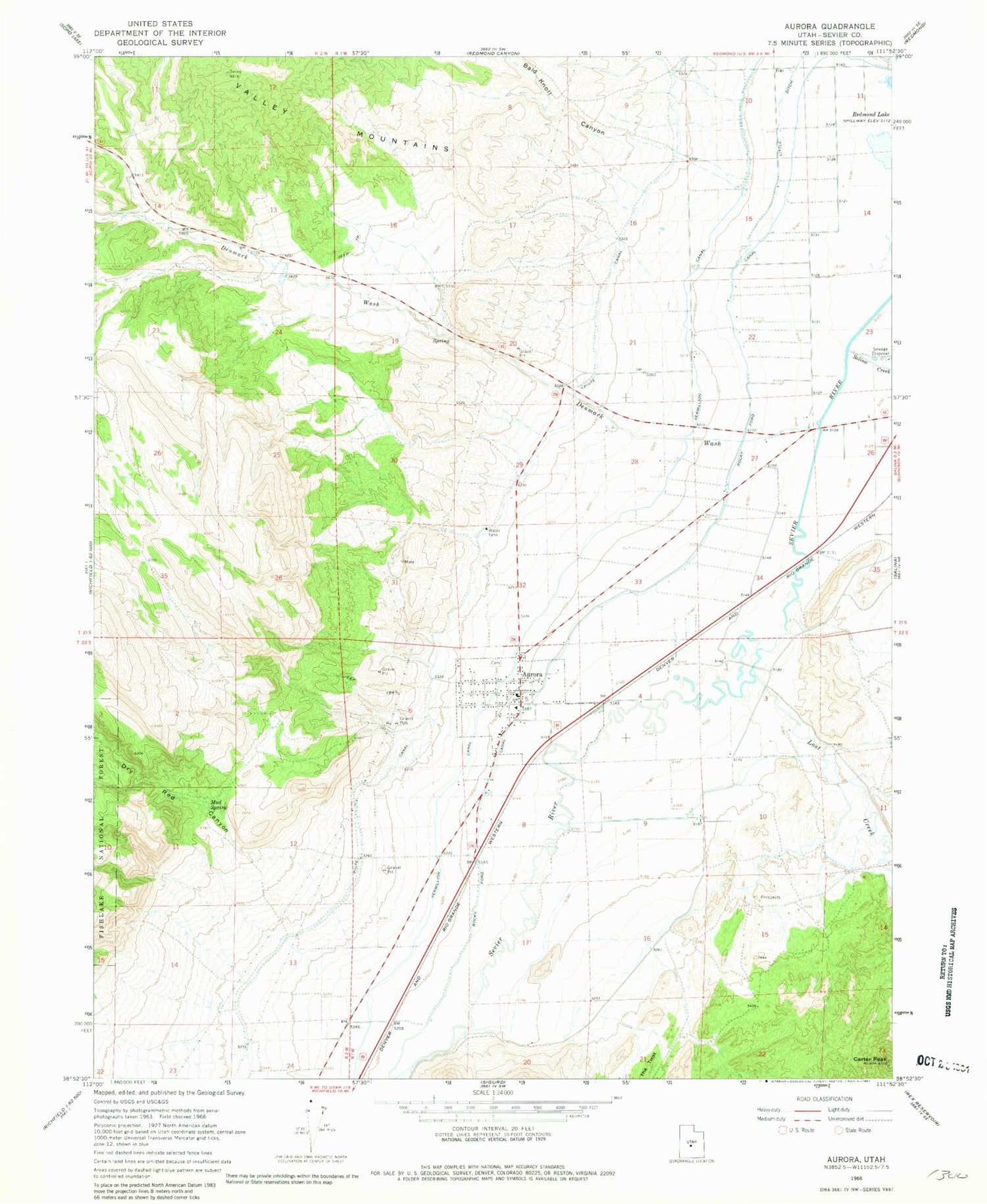
Classic USGS Aurora Utah 7.5'x7.5' Topo Map
Couldn't load pickup availability
Historical USGS topographic quad map of Aurora in the state of Utah. Map scale may vary for some years, but is generally around 1:24,000. Print size is approximately 24" x 27"
This quadrangle is in the following counties: Sevier.
The map contains contour lines, roads, rivers, towns, and lakes. Printed on high-quality waterproof paper with UV fade-resistant inks, and shipped rolled.
Contains the following named places: Aurora, Aurora Cemetery, Aurora Fire Department, Aurora Post Office, Bald Knoll Canyon, Carter Peak, City of Aurora, Denmark Wash, Denmark Wash Dam, Dry Red Canyon, Johnson Feedlot, Little Ditch, Lost Creek, Mud Spring, Rocky Ford Canal, Salina Creek, The Church of Jesus Christ of Latter Day Saints, The Twist, ZIP Code: 84620


