MyTopo
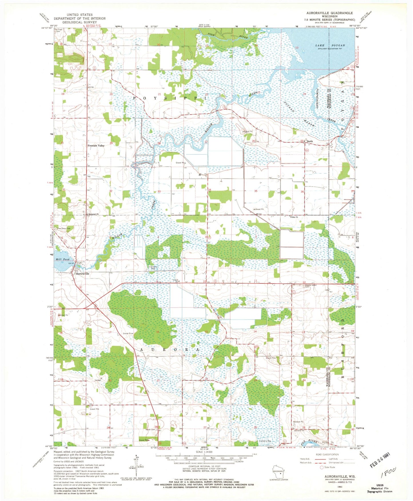
Classic USGS Auroraville Wisconsin 7.5'x7.5' Topo Map
Couldn't load pickup availability
Historical USGS topographic quad map of Auroraville in the state of Wisconsin. Map scale may vary for some years, but is generally around 1:24,000. Print size is approximately 24" x 27"
This quadrangle is in the following counties: Waushara, Winnebago.
The map contains contour lines, roads, rivers, towns, and lakes. Printed on high-quality waterproof paper with UV fade-resistant inks, and shipped rolled.
Contains the following named places: Auroraville, Auroraville 2WP588 Dam, Borth, Fountain Valley, Immanuel Church, Leach Farms Heliport, Mill Pond, Pine Grove Cemetery, Pine River, Poygan Marsh, Pumpkinseed Creek, Shead Island Cemetery, Town of Aurora, Town of Poy Sippi, Trinity Church, Welsh Cemetery, Willow Creek, Zink Airport