MyTopo
Classic USGS Avalon New Jersey 7.5'x7.5' Topo Map
Couldn't load pickup availability
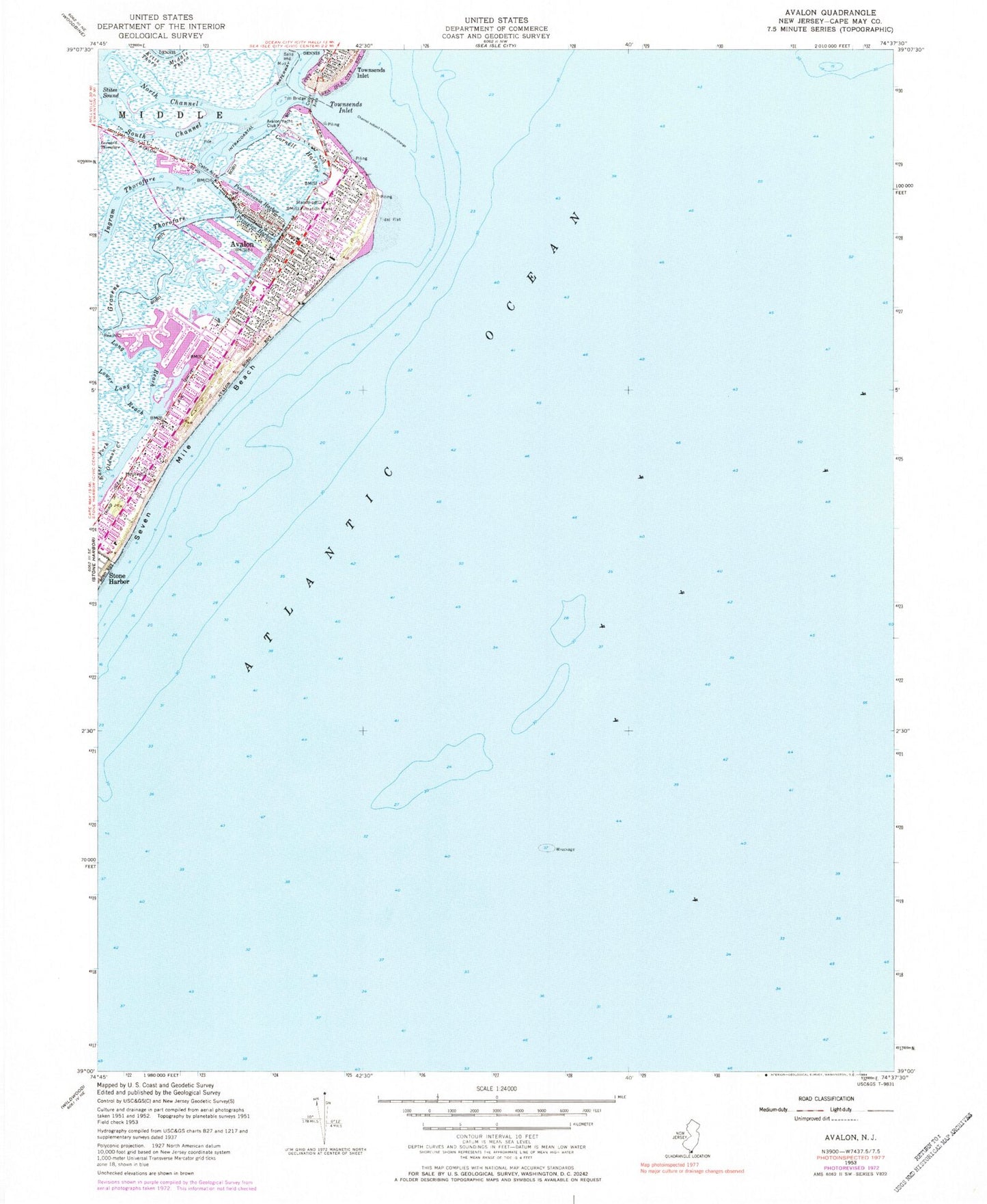
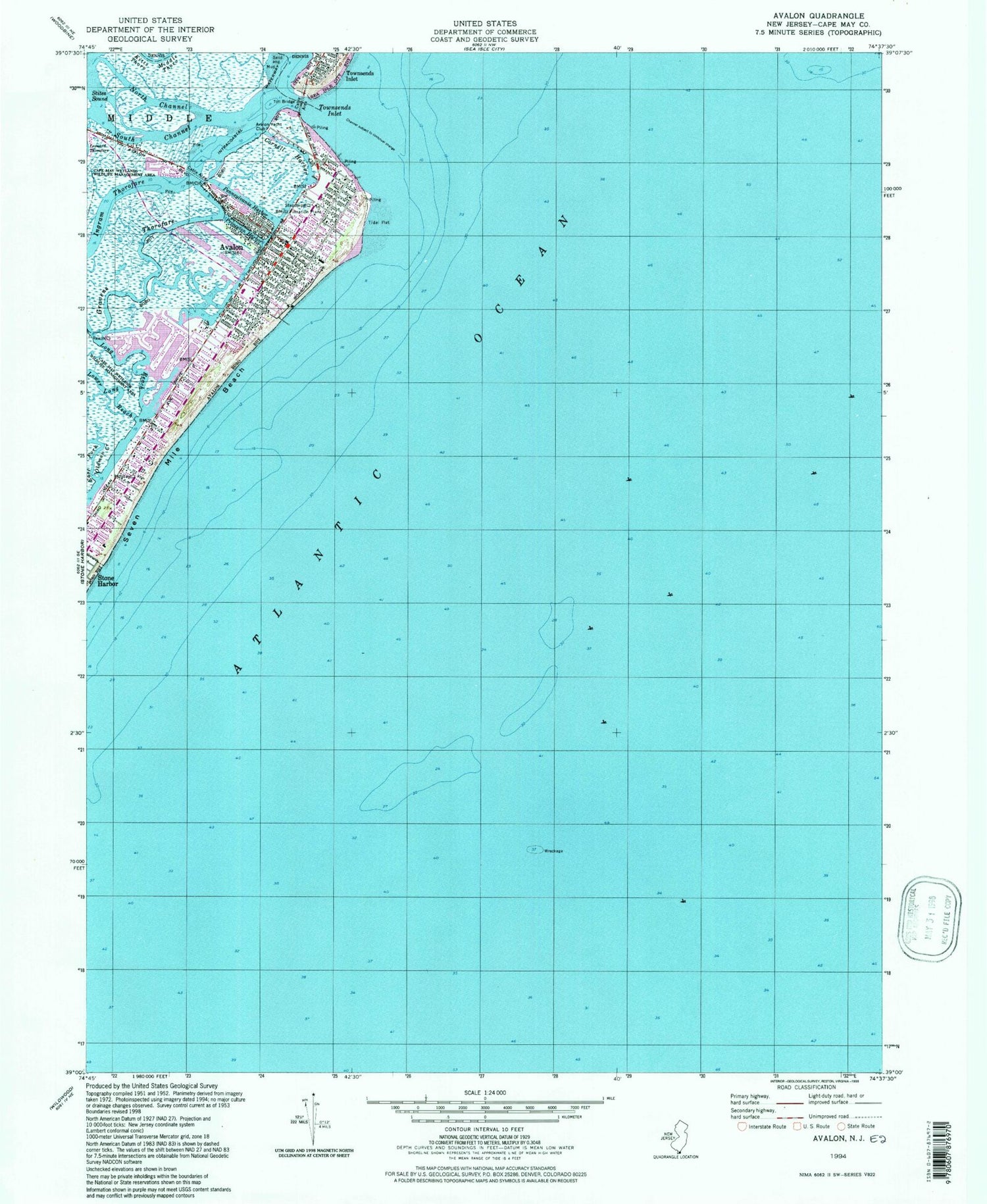
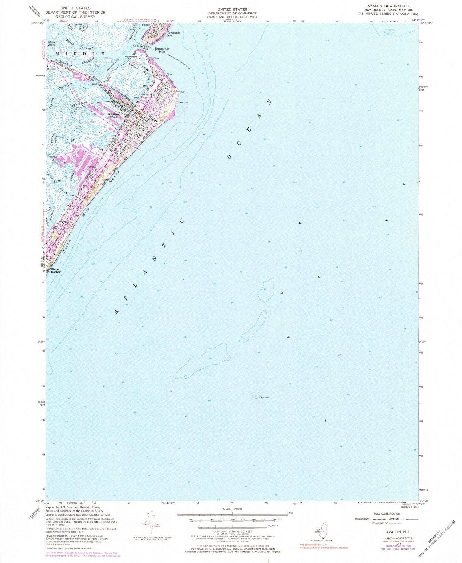
Historical USGS topographic quad map of Avalon in the state of New Jersey. Typical map scale is 1:24,000, but may vary for certain years, if available. Print size: 24" x 27"
This quadrangle is in the following counties: Cape May.
The map contains contour lines, roads, rivers, towns, and lakes. Printed on high-quality waterproof paper with UV fade-resistant inks, and shipped rolled.
Contains the following named places: The Lump, Avalon, Cornell Harbor, East Fork Oldman Creek, Gravens Thorofare, Ingram Thorofare, Long Reach, North Channel, Pennsylvania Harbor, Princeton Harbor, Seven Mile Beach, South Channel, Townsends Inlet, Yale Harbor, Blue Fish Harbor, Whale Harbor, Avalon Yacht Club, Borough of Avalon, Avalon Elementary School, Avalon Volunteer Fire Department, Avalon Rescue Squad, Avalon Police Department, Avalon Post Office