MyTopo
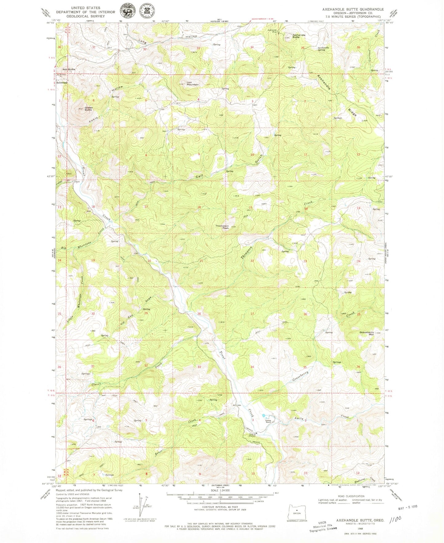
Classic USGS Axehandle Butte Oregon 7.5'x7.5' Topo Map
Couldn't load pickup availability
Historical USGS topographic quad map of Axehandle Butte in the state of Oregon. Map scale may vary for some years, but is generally around 1:24,000. Print size is approximately 24" x 27"
This quadrangle is in the following counties: Jefferson.
The map contains contour lines, roads, rivers, towns, and lakes. Printed on high-quality waterproof paper with UV fade-resistant inks, and shipped rolled.
Contains the following named places: Amity Creek, Ash Butte, Axehandle Butte, Axehandle Mine, Axehandle Ridge, Axehandle Spring, Beaver Creek, Big Whetstone Creek, Calf Gulch, Clover Creek, Cultus Creek, Fools Hollow, Gooseberry Creek, Gooseberry Mountain, Grater Butte, Iron Mountain, Little Whetstone Creek, Norton Ranch, Rufus Elementary School, Thompson Creek, Thompson Peak, Tin Can Draw, Tompkins Butte, ZIP Code: 97711