MyTopo
Classic USGS Ayrshire Iowa 7.5'x7.5' Topo Map
Couldn't load pickup availability
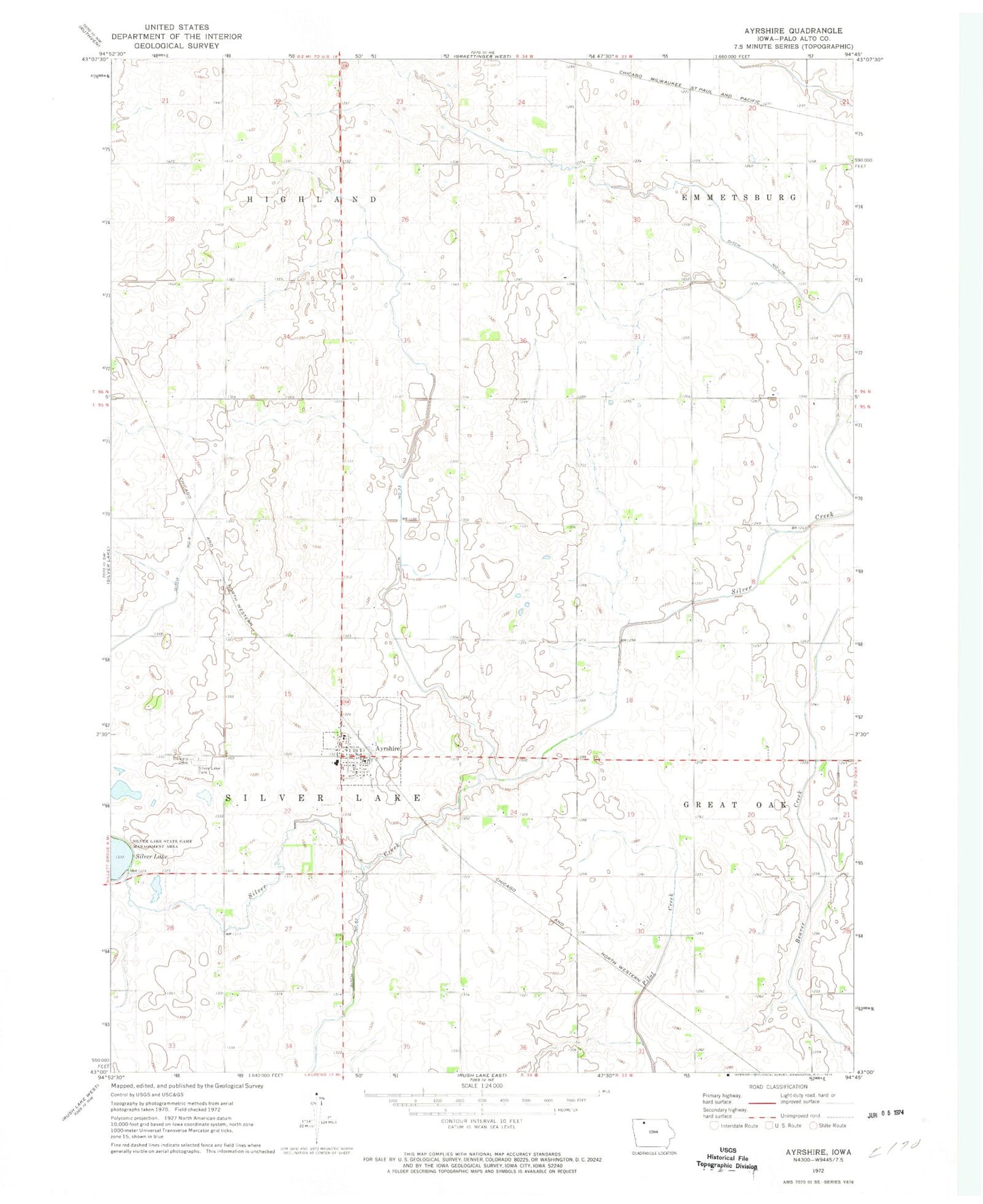
Historical USGS topographic quad map of Ayrshire in the state of Iowa. Map scale may vary for some years, but is generally around 1:24,000. Print size is approximately 24" x 27"
This quadrangle is in the following counties: Palo Alto.
The map contains contour lines, roads, rivers, towns, and lakes. Printed on high-quality waterproof paper with UV fade-resistant inks, and shipped rolled.
Contains the following named places: Ayrshire, Ayrshire City Hall, Ayrshire Post Office, Burns Prairie Area, Calvary Cemetery, City of Ayrshire, Crippen, Crippen Post Office, D W Farms, Darr Farms, Ditch Number 176, Ditch Number 23, Ditch Number 6, Ditch Number 62, Frederick Farm, Geelan Farm, Great Oak Farms, Lake View Post Office, Rockhill Farms, Sacred Heart Church, Sherlock Post Office, Silver Lake Cemetery, Silver Lake Fire and Rescue, Teleford Prairie Area, Township of Silver Lake, United Methodist Church, Wernimont Farm, West Bend Elevator Company Elevator, Wigdahl Farm, Wojahn Farm, Zion Lutheran Church, ZIP Code: 50515