MyTopo
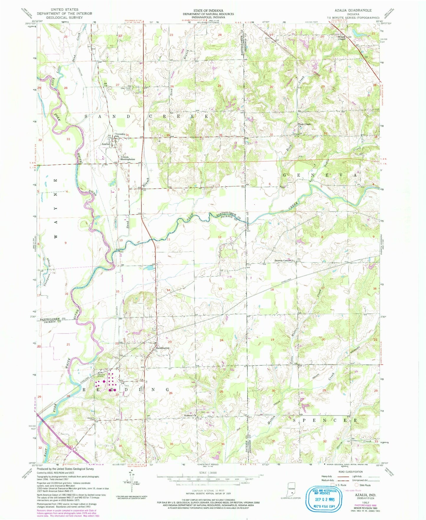
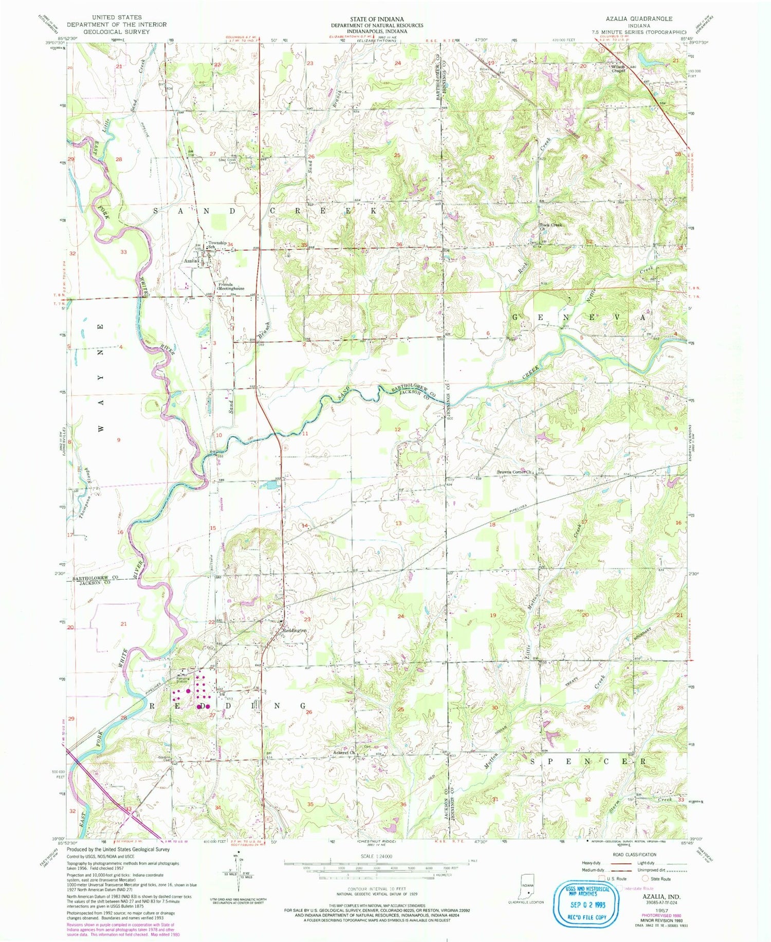
Classic USGS Azalia Indiana 7.5'x7.5' Topo Map
Couldn't load pickup availability
Historical USGS topographic quad map of Azalia in the state of Indiana. Map scale may vary for some years, but is generally around 1:24,000. Print size is approximately 24" x 27"
This quadrangle is in the following counties: Bartholomew, Jackson, Jennings.
The map contains contour lines, roads, rivers, towns, and lakes. Printed on high-quality waterproof paper with UV fade-resistant inks, and shipped rolled.
Contains the following named places: Ackeret Church, Azalia, Azalia Methodist Cemetery, Azalia Post Office, Browns Corner Church, Friends Meetinghouse, Glasson Cemetery, Little Mutton Creek, Little Sand Creek, Nettle Creek, Redding Township Volunteer Fire Department, Reddington, Rock Creek, Rock Creek Church, Sand Branch, Sand Creek, Sandcreek Cemetery, Township of Redding, Township of Sand Creek, Wilson Chapel, ZIP Code: 47232